 |
|
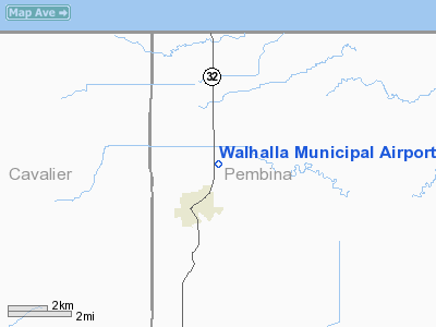
Location & QuickFacts
| FAA Information Effective: | 2008-09-25 |
| Airport Identifier: | 96D |
| Airport Status: | Operational |
| Longitude/Latitude: | 097-54-09.9900W/48-56-26.0600N
-97.902775/48.940572 (Estimated) |
| Elevation: | 953 ft / 290.47 m (Estimated) |
| Land: | 138 acres |
| From nearest city: | 1 nautical miles NE of Walhalla, ND |
| Location: | Pembina County, ND |
| Magnetic Variation: | 07E (1985) |
Owner & Manager
| Ownership: | Publicly owned |
| Owner: | Walhalla Arpt Authority |
| Address: | Box 7
Wahalla, ND 58282 |
| Phone number: | 701-549-3711
APT TERM UNATTND PHONE 701-549-3400 |
| Manager: | Dennis Gratton |
| Address: | Box 2
Wahalla, ND 58282 |
| Phone number: | 701-549-3766
AMGR HOME PHONE CELL 701-265-2301 |
Airport Operations and Facilities
| Airport Use: | Open to public |
| Wind indicator: | Yes |
| Segmented Circle: | No |
| Control Tower: | No |
| Lighting Schedule: | DUSK-DAWN
MIRL RY 15/33 & PAPI RYS 15 & 33 OPER DUSK-2200; AFT 2200 ACTVT - CTAF. |
| Beacon Color: | Clear-Green (lighted land airport) |
| Landing fee charge: | No |
| Sectional chart: | Twin Cities |
| Region: | AGL - Great Lakes |
| Boundary ARTCC: | ZMP - Minneapolis |
| Tie-in FSS: | GFK - Grand Forks |
| FSS on Airport: | No |
| FSS Toll Free: | 1-800-WX-BRIEF |
| NOTAMs Facility: | GFK (NOTAM-d service avaliable) |
| Federal Agreements: | N1 |
Airport Communications
Airport Services
| Fuel available: | 100LL
FOR FUEL & SVCS CALL 701-549-3500/ 3786. |
| Airframe Repair: | NONE |
| Power Plant Repair: | NONE |
| Bottled Oxygen: | NONE |
| Bulk Oxygen: | NONE |
Runway Information
Runway 15/33
| Dimension: | 3400 x 60 ft / 1036.3 x 18.3 m |
| Surface: | ASPH, Good Condition |
| Weight Limit: | Single wheel: 12500 lbs. |
| Edge Lights: | Medium |
| |
Runway 15 |
Runway 33 |
| Longitude: | 097-54-13.9800W | 097-54-06.0190W |
| Latitude: | 48-56-42.6310N | 48-56-09.4960N |
| Elevation: | 953.00 ft | 952.00 ft |
| Alignment: | 127 | 127 |
| Traffic Pattern: | Left | Left |
| Markings: | Non-precision instrument, Good Condition | Non-precision instrument, Good Condition |
| Crossing Height: | 27.00 ft | 27.00 ft |
| VASI: | 2-light PAPI on left side | 2-light PAPI on left side |
| Visual Glide Angle: | 3.00° | 3.00° |
| Runway End Identifier: | No | No |
| Touchdown Lights: | No | No |
| Obstruction: | 40 ft pline, 1200.0 ft from runway, 200 ft right of centerline, 25:1 slope to clear | 15 ft road, 650.0 ft from runway, 170 ft left of centerline, 30:1 slope to clear |
|
Radio Navigation Aids
| ID |
Type |
Name |
Ch |
Freq |
Var |
Dist |
| LF | NDB | La Salle | | 336.00 | 08E | 48.4 nm |
| HML | VORTAC | Humboldt | 071X | 112.40 | 09E | 31.3 nm |
Remarks
- TO CONFIRM SNOW REMOVAL CALL PRIOR TO USE 701-549-3500/3786.
- MARKED LGTD +550 FT TWR 6500 FT FROM RY 33 THR 8000 FT LEFT OF CNTRLN.
- EXISTED PRIOR TO 1959.
Images and information placed above are from
http://www.airport-data.com/airport/96D/
We thank them for the data!
|
|


