 |
|
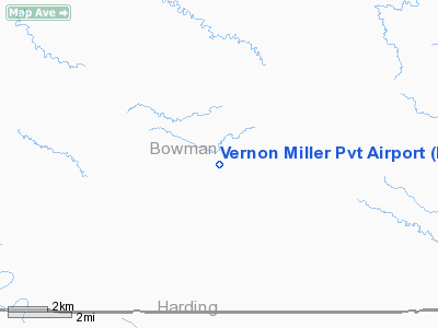
Vernon Miller Pvt Airport |
Location & QuickFacts
| FAA Information Effective: | 2008-09-25 |
| Airport Identifier: | NA22 |
| Airport Status: | Operational |
| Longitude/Latitude: | 103-47-46.7290W/46-00-45.0080N
-103.796314/46.012502 (Estimated) |
| Elevation: | 3102 ft / 945.49 m (Surveyed) |
| Land: | 1 acres |
| From nearest city: | 15 nautical miles SW of Rhame, ND |
| Location: | Bowman County, ND |
| Magnetic Variation: | 12E (1985) |
Owner & Manager
| Ownership: | Privately owned |
| Owner: | Eugene Miller |
| Address: | 16405 97th St. Sw
Rhame, ND 58651 |
| Phone number: | 701-279-6637 |
| Manager: | Eugene Miller |
| Address: | 16405 97th St Sw
Rhame, ND 58651 |
| Phone number: | 701-279-6637 |
Airport Operations and Facilities
| Airport Use: | Private |
| Wind indicator: | Yes |
| Segmented Circle: | No |
| Control Tower: | No |
| Lighting Schedule: | NONE |
| Landing fee charge: | No |
| Sectional chart: | Billings |
| Region: | AGL - Great Lakes |
| Boundary ARTCC: | ZLC - Salt Lake City |
| Tie-in FSS: | GFK - Grand Forks |
| FSS on Airport: | No |
| FSS Toll Free: | 1-800-WX-BRIEF |
Runway Information
Runway 12/30
| Dimension: | 1800 x 15 ft / 548.6 x 4.6 m |
| Surface: | TURF, Good Condition |
| |
Runway 12 |
Runway 30 |
| Traffic Pattern: | Left | Left |
| Obstruction: | 4 ft fence, 20:1 slope to clear | , 50:1 slope to clear |
|
Radio Navigation Aids
| ID |
Type |
Name |
Ch |
Freq |
Var |
Dist |
| BOD | NDB | Bowman | | 374.00 | 10E | 18.5 nm |
| BKU | NDB | Timber | | 344.00 | 12E | 27.8 nm |
| HEI | NDB | Hettinger | | 392.00 | 12E | 47.9 nm |
| BUA | VOR/DME | Buffalo | 031X | 109.40 | 13E | 31.1 nm |
Remarks
- CATTLE MAY BE ON RY.
- EMERGENCY OR PRE-ARRANGED LANDINGS ONLY.
- NOT ANALYZED - FILED FOR RECORD PURPOSES ONLY.
Images and information placed above are from
http://www.airport-data.com/airport/NA22/
We thank them for the data!
|
|


