 |
|
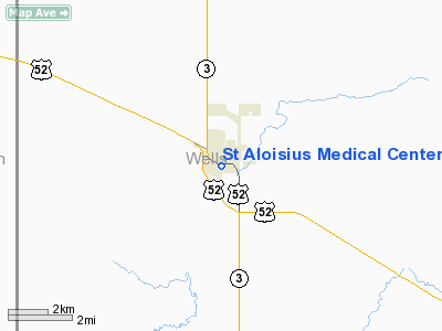
St Aloisius Medical Center Heliport |
Location & QuickFacts
| FAA Information Effective: | 2008-09-25 |
| Airport Identifier: | ND27 |
| Airport Status: | Operational |
| Longitude/Latitude: | 099-55-53.0000W/47-46-01.0000N
-99.931389/47.766944 (Estimated) |
| Elevation: | 1595 ft / 486.16 m (Estimated) |
| Land: | 0 acres |
| From nearest city: | 0 nautical miles S of Harvey, ND |
| Location: | Wells County, ND |
| Magnetic Variation: | 08E (2000) |
Owner & Manager
| Ownership: | Privately owned |
| Owner: | St Aloisius Medical Center |
| Address: | 325 E. Brewster Street
Harvey, ND 58341 |
| Phone number: | 701-324-4651 |
| Manager: | Rockford Zastoupil, President
OTHER: GARY KENNEDY |
| Address: | 325 E. Brewster St.
Harvey, ND 58341 |
| Phone number: | 701-324-4651 |
Airport Operations and Facilities
| Airport Use: | Private |
| Segmented Circle: | No |
| Control Tower: | No |
| Sectional chart: | Twin Cities |
| Region: | AGL - Great Lakes |
| Boundary ARTCC: | ZMP - Minneapolis |
| Tie-in FSS: | GFK - Grand Forks |
| FSS Toll Free: | 1-800-WX-BRIEF |
Runway Information
Helipad H1
| Dimension: | 20 x 20 ft / 6.1 x 6.1 m |
| Surface: | CONC, |
| |
Runway H1 |
Runway |
| Traffic Pattern: | Left | Left |
|
Radio Navigation Aids
| ID |
Type |
Name |
Ch |
Freq |
Var |
Dist |
| RUG | NDB | Rugby | | 212.00 | 08E | 37.5 nm |
| DVL | VOR/DME | Devils Lake | 047X | 111.00 | 07E | 46.1 nm |
Images and information placed above are from
http://www.airport-data.com/airport/ND27/
We thank them for the data!
| General Info
|
| Country |
United States
|
| State |
NORTH DAKOTA
|
| FAA ID |
ND27
|
| Latitude |
47-46-01.000N
|
| Longitude |
099-55-53.000W
|
| Elevation |
1595 feet
|
| Near City |
HARVEY
|
We don't guarantee the information is fresh and accurate. The data may
be wrong or outdated.
For more up-to-date information please refer to other sources.
|
|


