 |
|
Location & QuickFacts
| FAA Information Effective: | 2008-09-25 |
| Airport Identifier: | NA70 |
| Airport Status: | Operational |
| Longitude/Latitude: | 098-59-18.4140W/47-46-25.9900N
-98.988448/47.773886 (Estimated) |
| Elevation: | 1535 ft / 467.87 m (Estimated) |
| Land: | 0 acres |
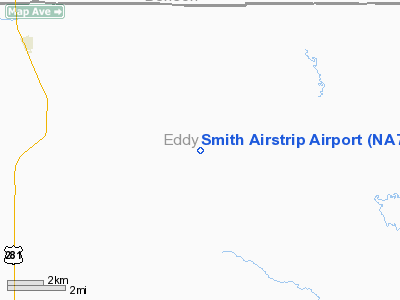
| From nearest city: | 6 nautical miles SE of Sheyenne, ND |
| Location: | Eddy County, ND |
| Magnetic Variation: | 08E (1985) |
Owner & Manager
| Ownership: | Privately owned |
| Owner: | Douglas R. Smith |
| Address: | 7484- 26th Street Ne
Sheyenne, ND 58374 |
| Phone number: | 701-996-3111 |
| Manager: | Douglas R. Smith |
| Address: | 7484- 26th Street Ne
Sheyenne, ND 58374 |
| Phone number: | 701-996-3111 |
Airport Operations and Facilities
| Airport Use: | Private |
| Wind indicator: | Yes |
| Segmented Circle: | No |
| Control Tower: | No |
| Sectional chart: | Twin Cities |
| Region: | AGL - Great Lakes |
| Boundary ARTCC: | ZMP - Minneapolis |
| Tie-in FSS: | GFK - Grand Forks |
| FSS on Airport: | No |
| FSS Toll Free: | 1-800-WX-BRIEF |
Runway Information
Runway 09/27
| Dimension: | 2000 x 100 ft / 609.6 x 30.5 m |
| Surface: | TURF, |
| |
Runway 09 |
Runway 27 |
| Traffic Pattern: | Left | Left |
| Obstruction: | 4 ft fence | |
|
Radio Navigation Aids
| ID |
Type |
Name |
Ch |
Freq |
Var |
Dist |
| DVL | VOR/DME | Devils Lake | 047X | 111.00 | 07E | 20.7 nm |
Remarks
- FILED FOR RECORD PURPOSES ONLY.
Images and information placed above are from
http://www.airport-data.com/airport/NA70/
We thank them for the data!
| General Info
|
| Country |
United States
|
| State |
NORTH DAKOTA
|
| FAA ID |
NA70
|
| Latitude |
47-46-25.990N
|
| Longitude |
098-59-18.414W
|
| Elevation |
1535 feet
|
| Near City |
SHEYENNE
|
We don't guarantee the information is fresh and accurate. The data may
be wrong or outdated.
For more up-to-date information please refer to other sources.
|
|


