 |
|
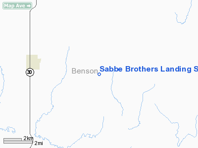
Sabbe Brothers Landing Strip Airport |
Location & QuickFacts
| FAA Information Effective: | 2008-09-25 |
| Airport Identifier: | NA38 |
| Airport Status: | Operational |
| Longitude/Latitude: | 099-25-46.4780W/47-57-02.0220N
-99.429577/47.950562 (Estimated) |
| Elevation: | 1572 ft / 479.15 m (Estimated) |
| Land: | 5 acres |
| From nearest city: | 4 nautical miles E of Maddock, ND |
| Location: | Benson County, ND |
| Magnetic Variation: | 08E (1985) |
Owner & Manager
| Ownership: | Privately owned |
| Owner: | Sabbe Brothers
SABBE BROTHERS FLYING SERVICES, INC. |
| Address: |
Maddock, ND 58348 |
| Manager: | Roger Sabbe |
| Address: |
Maddock, ND 58348 |
| Phone number: | 701-438-2762 |
Airport Operations and Facilities
| Airport Use: | Private |
| Segmented Circle: | No |
| Control Tower: | No |
| Sectional chart: | Twin Cities |
| Region: | AGL - Great Lakes |
| Boundary ARTCC: | ZMP - Minneapolis |
| Tie-in FSS: | GFK - Grand Forks |
| FSS on Airport: | No |
| FSS Toll Free: | 1-800-WX-BRIEF |
Runway Information
Runway 08/26
| Dimension: | 2640 x 80 ft / 804.7 x 24.4 m |
| Surface: | TURF, |
| |
Runway 08 |
Runway 26 |
| Traffic Pattern: | Left | Left |
|
Radio Navigation Aids
| ID |
Type |
Name |
Ch |
Freq |
Var |
Dist |
| RUG | NDB | Rugby | | 212.00 | 08E | 35.6 nm |
| DVL | VOR/DME | Devils Lake | 047X | 111.00 | 07E | 23.0 nm |
Remarks
Images and information placed above are from
http://www.airport-data.com/airport/NA38/
We thank them for the data!
| General Info
|
| Country |
United States
|
| State |
NORTH DAKOTA
|
| FAA ID |
NA38
|
| Latitude |
47-57-02.022N
|
| Longitude |
099-25-46.478W
|
| Elevation |
1572 feet
|
| Near City |
MADDOCK
|
We don't guarantee the information is fresh and accurate. The data may
be wrong or outdated.
For more up-to-date information please refer to other sources.
|
|


