 |
|
Location & QuickFacts
| FAA Information Effective: | 2008-09-25 |
| Airport Identifier: | 55ND |
| Airport Status: | Operational |
| Longitude/Latitude: | 102-42-38.6680W/47-21-20.0480N
-102.710741/47.355569 (Estimated) |
| Elevation: | 2260 ft / 688.85 m (Estimated) |
| Land: | 0 acres |
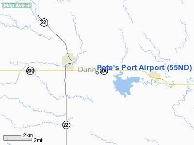
| From nearest city: | 2 nautical miles SE of Killdeer, ND |
| Location: | Dunn County, ND |
| Magnetic Variation: | 11E (1985) |
Owner & Manager
| Ownership: | Privately owned |
| Owner: | Jason L. Hutchinson |
| Address: | 419 104th Ave. Sw
Killdeer, ND 58640 |
| Phone number: | 701-764-8888 |
| Manager: | Jason Hutchinson |
| Address: | 419 104th Ave Sw
Killdeer, ND 58640 |
| Phone number: | 701-764-8888 |
Airport Operations and Facilities
| Airport Use: | Private
PERSONAL USE. |
| Wind indicator: | Yes |
| Segmented Circle: | No |
| Control Tower: | No |
| Landing fee charge: | No |
| Sectional chart: | Billings |
| Region: | AGL - Great Lakes |
| Boundary ARTCC: | ZMP - Minneapolis |
| Tie-in FSS: | GFK - Grand Forks |
| FSS on Airport: | No |
| FSS Toll Free: | 1-800-WX-BRIEF |
Airport Services
Runway Information
Runway 09/27
| Dimension: | 2500 x 50 ft / 762.0 x 15.2 m |
| Surface: | TURF, |
| |
Runway 09 |
Runway 27 |
| Traffic Pattern: | Left | Left |
|
Radio Navigation Aids
| ID |
Type |
Name |
Ch |
Freq |
Var |
Dist |
| PSH | NDB | Parshall | | 379.00 | 11E | 41.9 nm |
| DIK | VORTAC | Dickinson | 076X | 112.90 | 14E | 29.9 nm |
Remarks
Images and information placed above are from
http://www.airport-data.com/airport/55ND/
We thank them for the data!
| General Info
|
| Country |
United States
|
| State |
NORTH DAKOTA
|
| FAA ID |
55ND
|
| Latitude |
47-21-20.048N
|
| Longitude |
102-42-38.668W
|
| Elevation |
2260 feet
|
| Near City |
KILLDEER
|
We don't guarantee the information is fresh and accurate. The data may
be wrong or outdated.
For more up-to-date information please refer to other sources.
|
|


