 |
|
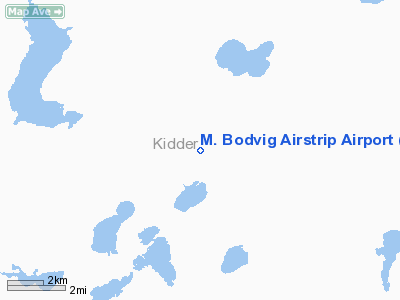
M. Bodvig Airstrip Airport |
Location & QuickFacts
| FAA Information Effective: | 2008-09-25 |
| Airport Identifier: | NA71 |
| Airport Status: | Operational |
| Longitude/Latitude: | 099-40-16.3840W/46-59-44.9530N
-99.671218/46.995820 (Estimated) |
| Elevation: | 1750 ft / 533.40 m (Estimated) |
| Land: | 10 acres |
| From nearest city: | 8 nautical miles N of Tappen, ND |
| Location: | Kidder County, ND |
| Magnetic Variation: | 09E (1985) |
Owner & Manager
| Ownership: | Privately owned |
| Owner: | Marvin Bodvig |
| Address: | Po Box 65
Tappen, ND 58487 |
| Phone number: | 701-327-4293 |
| Manager: | Marvin Bodvig |
| Address: | Po Box 65
Tappen, ND 58487 |
| Phone number: | 701-327-4293 |
Airport Operations and Facilities
| Airport Use: | Private |
| Wind indicator: | Yes |
| Segmented Circle: | No |
| Control Tower: | No |
| Lighting Schedule: | NONE |
| Landing fee charge: | No |
| Sectional chart: | Twin Cities |
| Region: | AGL - Great Lakes |
| Boundary ARTCC: | ZMP - Minneapolis |
| Tie-in FSS: | GFK - Grand Forks |
| FSS on Airport: | No |
| FSS Toll Free: | 1-800-WX-BRIEF |
Runway Information
Runway 08/26
| Dimension: | 2640 x 40 ft / 804.7 x 12.2 m |
| Surface: | TURF, |
| |
Runway 08 |
Runway 26 |
| Traffic Pattern: | Left | Left |
|
Runway 12/30
| Dimension: | 2100 x 40 ft / 640.1 x 12.2 m |
| Surface: | TURF, |
| |
Runway 12 |
Runway 30 |
| Traffic Pattern: | Left | Left |
|
Runway 17/35
| Dimension: | 2000 x 40 ft / 609.6 x 12.2 m |
| Surface: | TURF, |
| |
Runway 17 |
Runway 35 |
| Traffic Pattern: | Left | Left |
|
Radio Navigation Aids
| ID |
Type |
Name |
Ch |
Freq |
Var |
Dist |
| BI | NDB | Jadan | | 230.00 | 11E | 44.0 nm |
| JMS | VOR/DME | Jamestown | 092X | 114.50 | 10E | 40.9 nm |
| BIS | VOR/DME | Bismarck | 112X | 116.50 | 12E | 43.2 nm |
Remarks
- PVT AIRSTRIP LOCATED 3000' FM THR, 1200' RIGHT OF CNTRLN
- FILED FOR RECORD PURPOSES ONLY.
Images and information placed above are from
http://www.airport-data.com/airport/NA71/
We thank them for the data!
| General Info
|
| Country |
United States
|
| State |
NORTH DAKOTA
|
| FAA ID |
NA71
|
| Latitude |
46-59-44.953N
|
| Longitude |
099-40-16.384W
|
| Elevation |
1750 feet
|
| Near City |
TAPPEN
|
We don't guarantee the information is fresh and accurate. The data may
be wrong or outdated.
For more up-to-date information please refer to other sources.
|
|


