 |
|
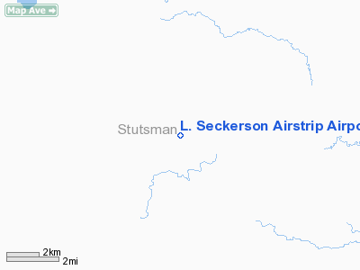
L. Seckerson Airstrip Airport |
Location & QuickFacts
| FAA Information Effective: | 2008-09-25 |
| Airport Identifier: | NA84 |
| Airport Status: | Operational |
| Longitude/Latitude: | 099-00-18.3950W/46-48-01.9420N
-99.005110/46.800539 (Estimated) |
| Elevation: | 1740 ft / 530.35 m (Estimated) |
| Land: | 0 acres |
| From nearest city: | 9 nautical miles SW of Eldridge, ND |
| Location: | Stutsman County, ND |
| Magnetic Variation: | 08E (1985) |
Owner & Manager
| Ownership: | Privately owned |
| Owner: | Lloyd Seckerson |
| Address: |
Eldridge, ND 58435 |
| Phone number: | 701-763-6301 |
| Manager: | Lloyd Seckerson |
| Address: |
Eldridge, ND 58435 |
| Phone number: | 701-763-6301 |
Airport Operations and Facilities
| Airport Use: | Private |
| Segmented Circle: | No |
| Control Tower: | No |
| Sectional chart: | Twin Cities |
| Region: | AGL - Great Lakes |
| Boundary ARTCC: | ZMP - Minneapolis |
| Tie-in FSS: | GFK - Grand Forks |
| FSS on Airport: | No |
| FSS Toll Free: | 1-800-WX-BRIEF |
Runway Information
Runway 16/34
| Dimension: | 2460 x 66 ft / 749.8 x 20.1 m |
| Surface: | TURF, |
| |
Runway 16 |
Runway 34 |
| Traffic Pattern: | Left | Left |
| Obstruction: | 15 ft bldg, 10.0 ft from runway | 4 ft fence, 10.0 ft from runway |
|
Radio Navigation Aids
| ID |
Type |
Name |
Ch |
Freq |
Var |
Dist |
| VCY | NDB | Valley City | | 382.00 | 07E | 45.1 nm |
| JMS | VOR/DME | Jamestown | 092X | 114.50 | 10E | 15.6 nm |
Remarks
- ADO RECOMMENDS DO NOT CHART DUE TO CLOSE PROXIMITY TO F. SECKERSON ARPT
- FILED FOR RECORD PURPOSES ONLY.
Images and information placed above are from
http://www.airport-data.com/airport/NA84/
We thank them for the data!
| General Info
|
| Country |
United States
|
| State |
NORTH DAKOTA
|
| FAA ID |
NA84
|
| Latitude |
46-48-01.942N
|
| Longitude |
099-00-18.395W
|
| Elevation |
1740 feet
|
| Near City |
ELDRIDGE
|
We don't guarantee the information is fresh and accurate. The data may
be wrong or outdated.
For more up-to-date information please refer to other sources.
|
|


