 |
|
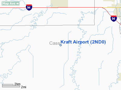
Location & QuickFacts
| FAA Information Effective: | 2008-09-25 |
| Airport Identifier: | 2ND0 |
| Airport Status: | Operational |
| Longitude/Latitude: | 097-02-59.3170W/46-48-51.8910N
-97.049810/46.814414 (Estimated) |
| Elevation: | 910 ft / 277.37 m (Estimated) |
| Land: | 0 acres |
| From nearest city: | 4 nautical miles S of Mapleton, ND |
| Location: | Cass County, ND |
| Magnetic Variation: | 06E (1985) |
Owner & Manager
| Ownership: | Privately owned |
| Owner: | Lawrence Kraft |
| Address: |
Mapleton, ND 58059 |
| Manager: | Arlyn Kraft |
| Address: |
Mapleton, ND 58059 |
| Phone number: | 701-282-085* |
Airport Operations and Facilities
| Airport Use: | Private |
| Wind indicator: | Yes |
| Segmented Circle: | No |
| Control Tower: | No |
| Lighting Schedule: | PHONE REQ
FOR LIRL RY 17R/35L PHONE 701-282-0856. |
| Landing fee charge: | No |
| Sectional chart: | Twin Cities |
| Region: | AGL - Great Lakes |
| Boundary ARTCC: | ZMP - Minneapolis |
| Tie-in FSS: | GFK - Grand Forks |
| FSS on Airport: | No |
| FSS Toll Free: | 1-800-WX-BRIEF
OR LOCAL CALL 293-0900. |
Airport Services
| Fuel available: | 100 |
| Airframe Repair: | NONE |
| Power Plant Repair: | NONE |
Runway Information
Runway 17L/35R
| Dimension: | 3175 x 120 ft / 967.7 x 36.6 m |
| Surface: | TURF, |
| |
Runway 17L |
Runway 35R |
| Traffic Pattern: | Left | Left |
|
Runway 17R/35L
| Dimension: | 2700 x 75 ft / 823.0 x 22.9 m |
| Surface: | TURF-GRVL, |
| Edge Lights: | Low |
| |
Runway 17R |
Runway 35L |
| Traffic Pattern: | Left | Left |
|
Radio Navigation Aids
| ID |
Type |
Name |
Ch |
Freq |
Var |
Dist |
| AA | NDB | Kenie | | 365.00 | 06E | 15.2 nm |
| VCY | NDB | Valley City | | 382.00 | 07E | 35.7 nm |
| BWP | NDB | Breckenridge-wahpeton | | 233.00 | 05E | 38.9 nm |
| GWR | NDB | Gwinner | | 278.00 | 07E | 43.2 nm |
| DTL | VOR/DME | Detroit Lakes | 049X | 111.20 | 05E | 47.8 nm |
| FFM | VOR/DME | Fergus Falls | 041X | 110.40 | 05E | 48.6 nm |
| FAR | VORTAC | Fargo | 109X | 116.20 | 09E | 9.0 nm |
Images and information placed above are from
http://www.airport-data.com/airport/2ND0/
We thank them for the data!
| General Info
|
| Country |
United States
|
| State |
NORTH DAKOTA
|
| FAA ID |
2ND0
|
| Latitude |
46-48-51.891N
|
| Longitude |
097-02-59.317W
|
| Elevation |
910 feet
|
| Near City |
MAPLETON
|
We don't guarantee the information is fresh and accurate. The data may
be wrong or outdated.
For more up-to-date information please refer to other sources.
|
|


