 |
|
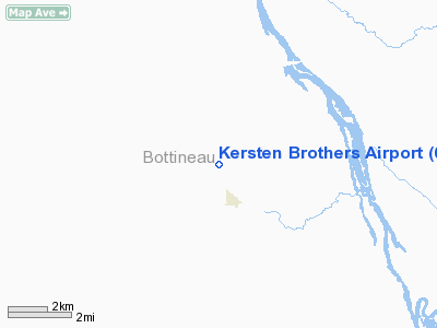
Location & QuickFacts
| FAA Information Effective: | 2008-09-25 |
| Airport Identifier: | 6NA7 |
| Airport Status: | Operational |
| Longitude/Latitude: | 100-55-17.5470W/48-43-49.0650N
-100.921541/48.730296 (Estimated) |
| Elevation: | 1473 ft / 448.97 m (Estimated) |
| Land: | 2 acres |
| From nearest city: | 1 nautical miles N of Newburg, ND |
| Location: | Bottineau County, ND |
| Magnetic Variation: | 10E (1985) |
Owner & Manager
| Ownership: | Privately owned |
| Owner: | Kersten Brothers |
| Address: | Box 452
Newburg, ND 58762 |
| Phone number: | 701-272-6339 |
| Manager: | Larry Kersten |
| Address: | Box 452
Newburg, ND 58762 |
| Phone number: | 701-272-6210 |
Airport Operations and Facilities
| Airport Use: | Private |
| Segmented Circle: | No |
| Control Tower: | No |
| Landing fee charge: | No |
| Sectional chart: | Twin Cities |
| Region: | AGL - Great Lakes |
| Boundary ARTCC: | ZMP - Minneapolis |
| Tie-in FSS: | GFK - Grand Forks |
| FSS on Airport: | No |
| FSS Toll Free: | 1-800-WX-BRIEF |
Runway Information
Runway 12/30
| Dimension: | 2600 x 80 ft / 792.5 x 24.4 m |
| Surface: | TURF, |
| |
Runway 12 |
Runway 30 |
| Traffic Pattern: | Left | Left |
| Obstruction: | 25 ft pline, 200.0 ft from runway | |
|
Radio Navigation Aids
| ID |
Type |
Name |
Ch |
Freq |
Var |
Dist |
| HBC | NDB | Mohall | | 350.00 | 11E | 24.4 nm |
| RUG | NDB | Rugby | | 212.00 | 08E | 41.1 nm |
| MIB | TACAN | Deering | 096X | | 10E | 25.9 nm |
| MOT | VORTAC | Minot | 118X | 117.10 | 13E | 31.8 nm |
Images and information placed above are from
http://www.airport-data.com/airport/6NA7/
We thank them for the data!
| General Info
|
| Country |
United States
|
| State |
NORTH DAKOTA
|
| FAA ID |
6NA7
|
| Latitude |
48-43-49.065N
|
| Longitude |
100-55-17.547W
|
| Elevation |
1473 feet
|
| Near City |
NEWBURG
|
We don't guarantee the information is fresh and accurate. The data may
be wrong or outdated.
For more up-to-date information please refer to other sources.
|
|


