 |
|
Location & QuickFacts
| FAA Information Effective: | 2008-09-25 |
| Airport Identifier: | NA32 |
| Airport Status: | Operational |
| Longitude/Latitude: | 098-51-31.3840W/46-53-54.9550N
-98.858718/46.898599 (Estimated) |
| Elevation: | 1548 ft / 471.83 m (Estimated) |
| Land: | 5 acres |
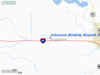
| From nearest city: | 1 nautical miles W of Eldridge, ND |
| Location: | Stutsman County, ND |
| Magnetic Variation: | 08E (1985) |
Owner & Manager
| Ownership: | Privately owned |
| Owner: | Raymond J. Johnson |
| Address: | Rt 3, Box 96
Eldridge, ND 58401 |
| Phone number: | 701-763-6330 |
| Manager: | Raymond J. Johnson |
| Address: | Rt 3, Box 96
Eldridge, ND 58401 |
| Phone number: | 701-763-6330 |
Airport Operations and Facilities
| Airport Use: | Private |
| Segmented Circle: | No |
| Control Tower: | No |
| Sectional chart: | Twin Cities |
| Region: | AGL - Great Lakes |
| Boundary ARTCC: | ZMP - Minneapolis |
| Tie-in FSS: | GFK - Grand Forks |
| FSS on Airport: | No |
| FSS Toll Free: | 1-800-WX-BRIEF |
Runway Information
Runway 08/26
| Dimension: | 2300 x 40 ft / 701.0 x 12.2 m |
| Surface: | TURF, |
| |
Runway 08 |
Runway 26 |
| Traffic Pattern: | Left | Left |
| Obstruction: | 25 ft trees, 200.0 ft from runway | 20 ft bldg, 50.0 ft from runway |
|
Runway 17/35
| Dimension: | 2400 x 40 ft / 731.5 x 12.2 m |
| Surface: | TURF, |
| |
Runway 17 |
Runway 35 |
| Traffic Pattern: | Left | Left |
| Obstruction: | 20 ft pline, 100.0 ft from runway | |
|
Radio Navigation Aids
| ID |
Type |
Name |
Ch |
Freq |
Var |
Dist |
| VCY | NDB | Valley City | | 382.00 | 07E | 38.8 nm |
| JMS | VOR/DME | Jamestown | 092X | 114.50 | 10E | 7.7 nm |
Remarks
- PROVIDED THE OBSTRUCTIONS IN RWY 08/26 APPROACH SLOPE SURFACES BE REMOVED OR LOWERED OR THE RWY THRESHOLDS BE DISPLACED AND CLEARLY MARKED TO PROVIDE A MINIMUM 20:1 APROACH CLEARANCE OVER ALL OBSTRUCTIONS. ALSO, OWNER MUST ASSURE ADEQUATE RWY EXISTS FOR THE TYPES OF OPERATIONS INTENDED.
Images and information placed above are from
http://www.airport-data.com/airport/NA32/
We thank them for the data!
| General Info
|
| Country |
United States
|
| State |
NORTH DAKOTA
|
| FAA ID |
NA32
|
| Latitude |
46-53-54.955N
|
| Longitude |
098-51-31.384W
|
| Elevation |
1548 feet
|
| Near City |
ELDRIDGE
|
We don't guarantee the information is fresh and accurate. The data may
be wrong or outdated.
For more up-to-date information please refer to other sources.
|
|


