 |
|
Location & QuickFacts
| FAA Information Effective: | 2008-09-25 |
| Airport Identifier: | 3NA7 |
| Airport Status: | Operational |
| Longitude/Latitude: | 098-43-01.3730W/47-23-09.9870N
-98.717048/47.386108 (Estimated) |
| Elevation: | 1530 ft / 466.34 m (Estimated) |
| Land: | 1 acres |
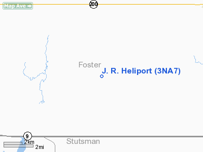
| From nearest city: | 5 nautical miles N of Kensal, ND |
| Location: | Foster County, ND |
| Magnetic Variation: | 08E (1985) |
Owner & Manager
| Ownership: | Privately owned |
| Owner: | Gerald J. Ryan |
| Address: | Rr 1 Box 162
Kensal, ND 58455 |
| Phone number: | 701-435-2247 |
| Manager: | Gerlad J. Ryan |
| Address: | 5112 Laurel Dr A19
Billings, MT 59101 |
| Phone number: | 701-435-2247 |
Airport Operations and Facilities
| Airport Use: | Private |
| Wind indicator: | Yes |
| Segmented Circle: | No |
| Control Tower: | No |
| Sectional chart: | Twin Cities |
| Region: | AGL - Great Lakes |
| Boundary ARTCC: | ZMP - Minneapolis |
| Tie-in FSS: | GFK - Grand Forks |
| FSS on Airport: | No |
| FSS Toll Free: | 1-800-WX-BRIEF |
Runway Information
Helipad H1
| Dimension: | 200 x 200 ft / 61.0 x 61.0 m |
| Surface: | TURF, |
| |
Runway H1 |
Runway |
| Traffic Pattern: | Left | Left |
| Obstruction: | 40 ft barn | |
|
Radio Navigation Aids
| ID |
Type |
Name |
Ch |
Freq |
Var |
Dist |
| VCY | NDB | Valley City | | 382.00 | 07E | 44.9 nm |
| JMS | VOR/DME | Jamestown | 092X | 114.50 | 10E | 27.3 nm |
| DVL | VOR/DME | Devils Lake | 047X | 111.00 | 07E | 44.5 nm |
Remarks
- FILED FOR RECORD PURPOSES ONLY.
Images and information placed above are from
http://www.airport-data.com/airport/3NA7/
We thank them for the data!
| General Info
|
| Country |
United States
|
| State |
NORTH DAKOTA
|
| FAA ID |
3NA7
|
| Latitude |
47-23-09.987N
|
| Longitude |
098-43-01.373W
|
| Elevation |
1530 feet
|
| Near City |
KENSAL
|
We don't guarantee the information is fresh and accurate. The data may
be wrong or outdated.
For more up-to-date information please refer to other sources.
|
|


