 |
|
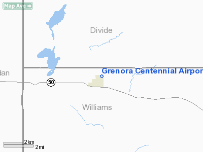
Grenora Centennial Airport |
Location & QuickFacts
| FAA Information Effective: | 2008-09-25 |
| Airport Identifier: | 7N6 |
| Airport Status: | Operational |
| Longitude/Latitude: | 103-55-47.7480W/48-37-32.0990N
-103.929930/48.625583 (Estimated) |
| Elevation: | 2145 ft / 653.80 m (Estimated) |
| Land: | 10 acres |
| From nearest city: | 1 nautical miles NE of Grenora, ND |
| Location: | Williams County, ND |
| Magnetic Variation: | 13E (1985) |
Owner & Manager
| Ownership: | Publicly owned |
| Owner: | City Of Grenora |
| Address: | Box 296
Grenora, ND 58845 |
| Phone number: | 701-694-3391 |
| Address: |
|
| Phone number: | 701-694-3391
PHONE CONTACT IS CITY HALL |
Airport Operations and Facilities
| Airport Use: | Open to public |
| Wind indicator: | Yes |
| Segmented Circle: | Yes |
| Control Tower: | No |
| Landing fee charge: | No |
| Sectional chart: | Billings |
| Region: | AGL - Great Lakes |
| Boundary ARTCC: | ZLC - Salt Lake City |
| Tie-in FSS: | GFK - Grand Forks |
| FSS on Airport: | No |
| FSS Toll Free: | 1-800-WX-BRIEF |
| NOTAMs Facility: | GFK (NOTAM-d service avaliable) |
Airport Communications
Airport Services
Runway Information
Runway 17/35
| Dimension: | 2600 x 100 ft / 792.5 x 30.5 m
600 FT STWY S END DOWNHILL -5% SLOPE. |
| Surface: | TURF, Fair Condition |
| |
Runway 17 |
Runway 35 |
| Longitude: | 103-55-31.5700W | 103-55-31.5000W |
| Latitude: | 48-37-41.6600N | 48-37-16.0000N |
| Elevation: | 2126.00 ft | 2128.00 ft |
| Alignment: | 127 | 127 |
| Traffic Pattern: | Left | Left |
| Obstruction: | 50 ft pline, 2000.0 ft from runway, 40:1 slope to clear | , 50:1 slope to clear |
|
Radio Navigation Aids
| ID |
Type |
Name |
Ch |
Freq |
Var |
Dist |
| PWD | NDB | Plentywood | | 251.00 | 16E | 25.7 nm |
| ISN | NDB | Williston | | 275.00 | 15E | 32.0 nm |
| ISN | VORTAC | Williston | 110X | 116.30 | 12E | 23.5 nm |
Remarks
- RWY 17/35 VIOLATES 5' RWY VISIBILITY CLEARANCE.
- -5 FT POND 50 FT FM RY 17 THLD.
- NO SNOW REMOVAL : CONFIRM RY COND PHONE 701-694-3391
Images and information placed above are from
http://www.airport-data.com/airport/7N6/
We thank them for the data!
| General Info
|
| Country |
United States
|
| State |
NORTH DAKOTA
|
| FAA ID |
7N6
|
| Latitude |
48-37-32.099N
|
| Longitude |
103-55-47.748W
|
| Elevation |
2145 feet
|
| Near City |
GRENORA
|
We don't guarantee the information is fresh and accurate. The data may
be wrong or outdated.
For more up-to-date information please refer to other sources.
|
|


