 |
|
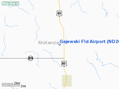
Location & QuickFacts
| FAA Information Effective: | 2008-09-25 |
| Airport Identifier: | ND26 |
| Airport Status: | Operational |
| Longitude/Latitude: | 103-39-31.7140W/47-54-00.0770N
-103.658809/47.900021 (Estimated) |
| Elevation: | 2100 ft / 640.08 m (Estimated) |
| Land: | 0 acres |
| From nearest city: | 3 nautical miles NW of Alexander, ND |
| Location: | Mc Kenzie County, ND |
| Magnetic Variation: | 12E (1985) |
Owner & Manager
| Ownership: | Privately owned |
| Owner: | Mervin Gajewski |
| Address: |
Alexander, ND 58831 |
| Phone number: | 701-570-0391 |
| Manager: | L R Gajewski |
| Address: |
Alexander, ND 58831 |
| Phone number: | 701-828-3572 |
Airport Operations and Facilities
| Airport Use: | Private |
| Wind indicator: | Yes |
| Segmented Circle: | No |
| Control Tower: | No |
| Lighting Schedule: | PHONE REQ
FOR ARPT BCN; LIRL RY 18/36 CALL 701-828-3572. |
| Beacon Color: | Clear-Green (lighted land airport) |
| Landing fee charge: | No |
| Sectional chart: | Billings |
| Region: | AGL - Great Lakes |
| Boundary ARTCC: | ZLC - Salt Lake City |
| Tie-in FSS: | GFK - Grand Forks |
| FSS on Airport: | No |
| FSS Toll Free: | 1-800-WX-BRIEF |
Airport Services
| Fuel available: | 100 80 MOGAS |
| Airframe Repair: | NONE |
| Power Plant Repair: | NONE |
Runway Information
Runway 18/36
| Dimension: | 2300 x 40 ft / 701.0 x 12.2 m |
| Surface: | TURF, |
| Edge Lights: | Low |
| |
Runway 18 |
Runway 36 |
| Longitude: | 103-39-31.7000W | 103-39-31.7000W |
| Latitude: | 45-54-09.0000N | 45-53-51.0000N |
| Elevation: | 2100.00 ft | 2100.00 ft |
| Traffic Pattern: | Left | Left |
|
Radio Navigation Aids
| ID |
Type |
Name |
Ch |
Freq |
Var |
Dist |
| ISN | NDB | Williston | | 275.00 | 15E | 15.1 nm |
| SDY | NDB | Sidney | | 359.00 | 12E | 24.0 nm |
| ISN | VORTAC | Williston | 110X | 116.30 | 12E | 21.6 nm |
Remarks
Images and information placed above are from
http://www.airport-data.com/airport/ND26/
We thank them for the data!
| General Info
|
| Country |
United States
|
| State |
NORTH DAKOTA
|
| FAA ID |
ND26
|
| Latitude |
47-54-00.077N
|
| Longitude |
103-39-31.714W
|
| Elevation |
2100 feet
|
| Near City |
ALEXANDER
|
We don't guarantee the information is fresh and accurate. The data may
be wrong or outdated.
For more up-to-date information please refer to other sources.
|
|


