 |
|
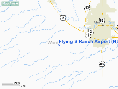
Location & QuickFacts
| FAA Information Effective: | 2008-09-25 |
| Airport Identifier: | ND43 |
| Airport Status: | Operational |
| Longitude/Latitude: | 101-24-15.5900W/48-12-00.0330N
-101.404331/48.200009 (Estimated) |
| Elevation: | 1840 ft / 560.83 m (Estimated) |
| Land: | 38 acres |
| From nearest city: | 5 nautical miles SW of Minot, ND |
| Location: | Ward County, ND |
| Magnetic Variation: | 10E (1985) |
Owner & Manager
| Ownership: | Privately owned |
| Owner: | Howard E. Reeve |
| Address: | 2900 72nd St
Minot, ND 58701 |
| Phone number: | 701-852-8507 |
| Address: |
|
Airport Operations and Facilities
| Airport Use: | Private |
| Wind indicator: | Yes |
| Segmented Circle: | No |
| Control Tower: | No |
| Lighting Schedule: | DUSK-DAWN |
| Beacon Color: | Clear-Green (lighted land airport) |
| Landing fee charge: | No |
| Sectional chart: | Billings |
| Region: | AGL - Great Lakes |
| Boundary ARTCC: | ZMP - Minneapolis |
| Tie-in FSS: | GFK - Grand Forks |
| FSS on Airport: | No |
| FSS Toll Free: | 1-800-WX-BRIEF |
Airport Services
| Fuel available: | 100LL115 MOGAS |
| Airframe Repair: | NONE |
| Power Plant Repair: | NONE |
| Bottled Oxygen: | NONE |
| Bulk Oxygen: | NONE |
Runway Information
Runway 17/35
| Dimension: | 4000 x 300 ft / 1219.2 x 91.4 m |
| Surface: | TURF, Fair Condition |
| Edge Lights: | Low |
| |
Runway 17 |
Runway 35 |
| Traffic Pattern: | Left | Left |
| Markings: | None, | None, |
| Runway End Identifier: | No | No |
| Centerline Lights: | No | No |
| Touchdown Lights: | No | No |
| Obstruction: | , 1.0 ft from runway, 1:1 slope to clear | 1352 ft twr, 47700.0 ft from runway, 1000 ft left of centerline, 35:1 slope to clear |
|
Radio Navigation Aids
| ID |
Type |
Name |
Ch |
Freq |
Var |
Dist |
| PSH | NDB | Parshall | | 379.00 | 11E | 33.4 nm |
| HBC | NDB | Mohall | | 350.00 | 11E | 34.3 nm |
| MIB | TACAN | Deering | 096X | | 10E | 13.0 nm |
| MOT | VORTAC | Minot | 118X | 117.10 | 13E | 5.9 nm |
Remarks
- ULTRALIGHT/SKYDIVING ACTIVITIES DALGT HRS.
- NO SNOW REMOVAL AVBL; CFM WINTER COND W/OWNER (701) 852-8507.
- CAUTION: ANIMAL HOLES POSSIBLE.
- EXISTED PRIOR TO 1959.
Images and information placed above are from
http://www.airport-data.com/airport/ND43/
We thank them for the data!
| General Info
|
| Country |
United States
|
| State |
NORTH DAKOTA
|
| FAA ID |
ND43
|
| Latitude |
48-12-00.033N
|
| Longitude |
101-24-15.590W
|
| Elevation |
1840 feet
|
| Near City |
MINOT
|
We don't guarantee the information is fresh and accurate. The data may
be wrong or outdated.
For more up-to-date information please refer to other sources.
|
|


