 |
|
Location & QuickFacts
| FAA Information Effective: | 2008-09-25 |
| Airport Identifier: | 5B4 |
| Airport Status: | Operational |
| Longitude/Latitude: | 102-14-43.6020W/48-48-35.0980N
-102.245445/48.809749 (Estimated) |
| Elevation: | 1955 ft / 595.88 m (Estimated) |
| Land: | 15 acres |
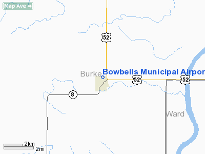
| From nearest city: | 1 nautical miles N of Bowbells, ND |
| Location: | Burke County, ND |
| Magnetic Variation: | 11E (1985) |
Owner & Manager
| Ownership: | Publicly owned |
| Owner: | City Of Bowbells |
| Address: | P.o. Box 125
Bowbells, ND 58721 |
| Phone number: | 701-377-2902 |
| Manager: | David Mahlum
ADD'L CONTACT, JERRY MELBY 701-377-2971. |
| Address: | Po Box 276
Bowbells, ND 58721 |
| Phone number: | 701-377-2334 |
Airport Operations and Facilities
| Airport Use: | Open to public |
| Wind indicator: | Yes |
| Segmented Circle: | No |
| Control Tower: | No |
| Lighting Schedule: | DUSK-DAWN |
| Landing fee charge: | No |
| Sectional chart: | Billings |
| Region: | AGL - Great Lakes |
| Boundary ARTCC: | ZMP - Minneapolis |
| Tie-in FSS: | GFK - Grand Forks |
| FSS on Airport: | No |
| FSS Toll Free: | 1-800-WX-BRIEF |
| NOTAMs Facility: | GFK (NOTAM-d service avaliable) |
Airport Communications
Airport Services
| Airframe Repair: | NONE |
| Power Plant Repair: | NONE |
| Bottled Oxygen: | NONE |
| Bulk Oxygen: | NONE |
Runway Information
Runway 08/26
| Dimension: | 2900 x 200 ft / 883.9 x 61.0 m |
| Surface: | TURF, Good Condition |
| Edge Lights: | Non-standard lighting system
NSTD LIRL; GREEN THLD LGTS. |
| |
Runway 08 |
Runway 26 |
| Longitude: | 102-15-13.6000W | 102-14-30.3800W |
| Latitude: | 48-48-34.1000N | 48-48-36.0900N |
| Elevation: | 1955.00 ft | 1950.00 ft |
| Traffic Pattern: | Left | Left |
| Displaced threshold: | 0.00 ft | 460.00 ft
DSPLCD THR MKD ONLY WITH DALGT BOUNDARY 3' METAL MARKERS. |
| Obstruction: | 20 ft trees, 450.0 ft from runway, 100 ft right of centerline, 22:1 slope to clear | 29 ft rr, 100.0 ft from runway, 3:1 slope to clear
19:1 TO DSPLCD THR. |
|
Radio Navigation Aids
| ID |
Type |
Name |
Ch |
Freq |
Var |
Dist |
| HBC | NDB | Mohall | | 350.00 | 11E | 28.2 nm |
| MIB | TACAN | Deering | 096X | | 10E | 42.2 nm |
Remarks
- RY IREG & SOFT WHEN WET WITH WATER PONDING POSSIBLE.
- IREG SNOW REMOVAL; CFM RY COND PRIOR TO USE; CALL (701) 377-2384/2386/2971.
- WINDSOCK PENETRATES TRSN SFC.
- TWY SOFT WHEN WET WITH 1 INCH DRAINAGE SWALE.
- +20 FT TREES LCTD 160 FT L OF CNTRLN AT RY 26 STARTING AT THLD INWARD BY 400 FT PARALLEL TO RY.
Images and information placed above are from
http://www.airport-data.com/airport/5B4/
We thank them for the data!
| General Info
|
| Country |
United States
|
| State |
NORTH DAKOTA
|
| FAA ID |
5B4
|
| Latitude |
48-48-35.098N
|
| Longitude |
102-14-43.602W
|
| Elevation |
1955 feet
|
| Near City |
BOWBELLS
|
We don't guarantee the information is fresh and accurate. The data may
be wrong or outdated.
For more up-to-date information please refer to other sources.
|
|


