|
|
Coordinates: 46°46′22″N 100°44′45″W / 46.77278°N 100.74583°W / 46.77278; -100.74583
| Bismarck Municipal Airport |
| IATA: BIS – ICAO: KBIS – FAA LID: BIS |
| Summary |
| Airport type |
Public |
| Operator |
City of Bismarck |
| Serves |
Bismarck, North Dakota |
| Location |
Bismarck, North Dakota |
| Elevation AMSL |
1,661 ft / 506 m |
| Website |
BismarckAirport.com |
| Runways |
| Direction |
Length |
Surface |
| ft |
m |
| 13/31 |
8,794 |
2,680 |
Asphalt |
| 3/21 |
6,600 |
2,012 |
Asphalt |
| Statistics (2005) |
| Aircraft operations |
52,358 |
| Source: FAA and airport web site |
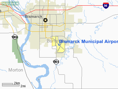
Bismarck Municipal Airport (IATA: BIS, ICAO: KBIS, FAA LID: BIS) is a public airport located three miles (5 km) southeast of the central business district of Bismarck, a city in Burleigh County, North Dakota, United States. It is owned by the City of Bismarck.
A new $15 million terminal opened at the airport in May 2005. The previous terminal was in use for over 40 years with a two-story addition being built in 1982, and was demolished later that year. A parking lot sets just south of the new terminal. Facilities and aircraft
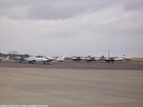
Bismarck Municipal Airport covers an area of 2,400 acres (971 ha) which contains two asphalt paved runways: 13/31 measuring 8,794 x 150 ft (2,680 x 46 m) and 3/21 measuring 6,600 x 100 ft (2,012 x 30 m). For the 12-month period ending December 31, 2005, the airport had 52,358 aircraft operations, an average of 143 per day: 67% general aviation, 19% air taxi, 9% military and 6% scheduled commercial.
Airlines and destinations
| Airlines |
Destinations |
| Allegiant Air |
Las Vegas, Phoenix/Mesa |
| Delta Air Lines |
Minneapolis/St. Paul |
| Delta Connection operated by Mesaba Airlines |
Minneapolis/St. Paul |
| Delta Connection operated by Pinnacle Airlines |
Minneapolis/St. Paul |
| Delta Connection operated by SkyWest Airlines |
Salt Lake City |
| United Express operated by SkyWest Airlines |
Chicago-O'Hare, Denver |
The above content comes from Wikipedia and is published under free licenses – click here to read more.
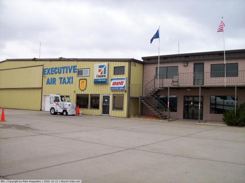 |
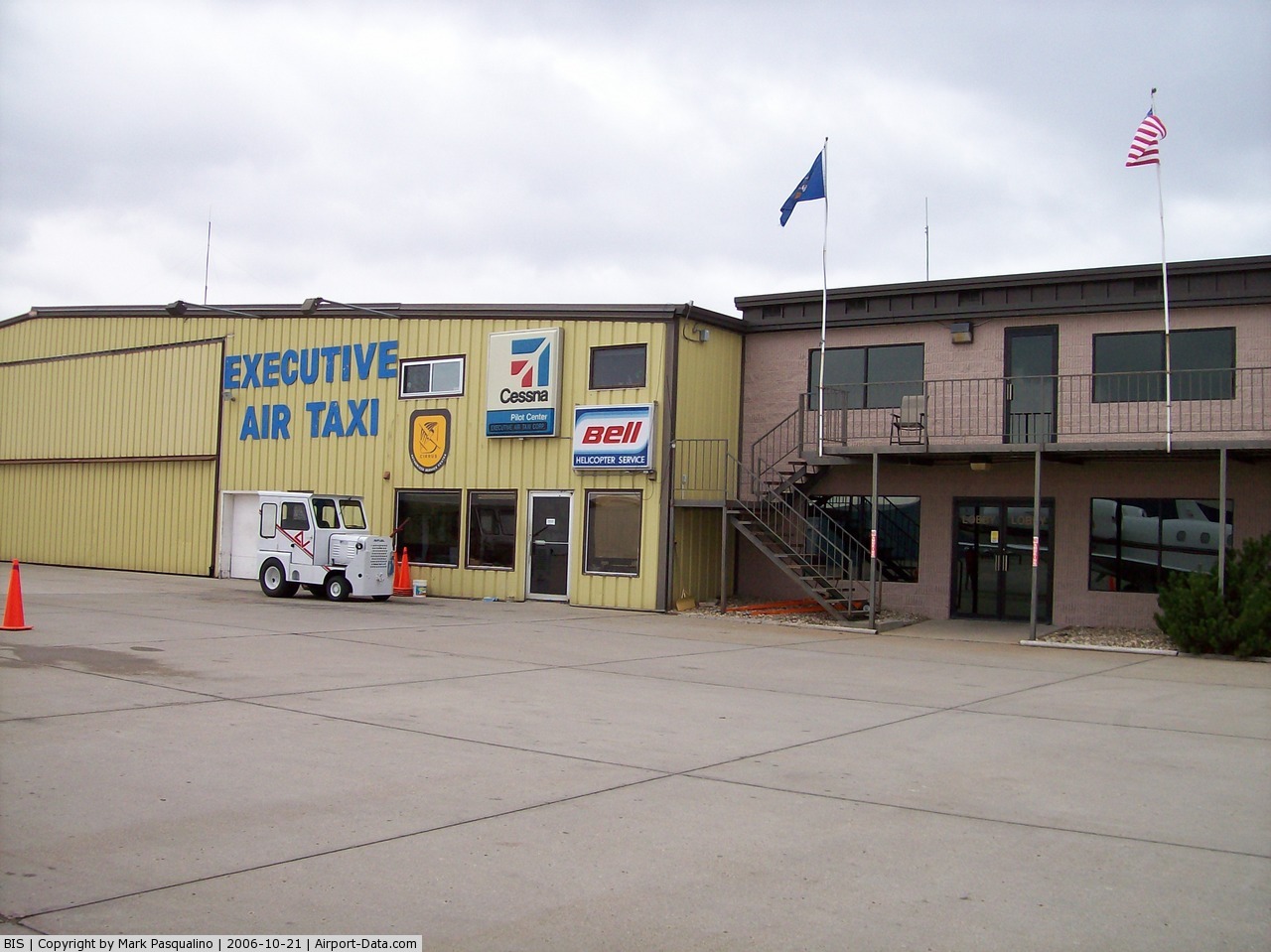
(Click on the photo to enlarge) |
 |
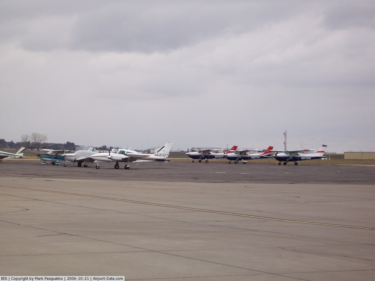
(Click on the photo to enlarge) |
Location & QuickFacts
| FAA Information Effective: | 2008-09-25 |
| Airport Identifier: | BIS |
| Airport Status: | Operational |
| Longitude/Latitude: | 100-44-44.7000W/46-46-21.8000N
-100.745750/46.772722 (Estimated) |
| Elevation: | 1661 ft / 506.27 m (Surveyed) |
| Land: | 2400 acres |
| From nearest city: | 3 nautical miles SE of Bismarck, ND |
| Location: | Burleigh County, ND |
| Magnetic Variation: | 11E (1980) |
Owner & Manager
| Ownership: | Publicly owned |
| Owner: | City Of Bismarck |
| Address: | Box 991
Bismarck, ND 58502 |
| Phone number: | 701-355-1808 |
| Manager: | Gregory B Haug
ADDL CONTACT - TIM THORSEN - OPS MGR 701-222-6508. |
| Address: | Box 991
Bismarck, ND 58502-0991 |
| Phone number: | 701-355-1808 |
Airport Operations and Facilities
| Airport Use: | Open to public |
| Wind indicator: | Yes |
| Segmented Circle: | No |
| Control Tower: | Yes |
| Lighting Schedule: | SS-SR
WHEN ATCT CLSD HIRL RYS 13/31 & 03/21 PRESET MED INTST; VASI RY 13; PAPI RYS 31; 03; & 21 ON; ACTVT MALS RY 13 & MALSR RY 31 - CTAF. |
| Beacon Color: | Clear-Green (lighted land airport) |
| Landing fee charge: | No |
| Sectional chart: | Twin Cities |
| Region: | AGL - Great Lakes |
| Boundary ARTCC: | ZMP - Minneapolis |
| Tie-in FSS: | GFK - Grand Forks |
| FSS on Airport: | No |
| FSS Toll Free: | 1-800-WX-BRIEF |
| NOTAMs Facility: | BIS (NOTAM-d service avaliable) |
| Certification type/date: | I B S 05/1973 |
| Federal Agreements: | NGPSY3 |
Airport Communications
| CTAF: | 118.300 |
| Unicom: | 122.950 |
Airport Services
| Fuel available: | 100LLA
FOR FUEL CALL 701-222-6508 OR 701-258-5024. |
| Airframe Repair: | MAJOR |
| Power Plant Repair: | MAJOR |
| Bottled Oxygen: | NONE |
| Bulk Oxygen: | HIGH/LOW |
Runway Information
Runway 03/21
| Dimension: | 6600 x 100 ft / 2011.7 x 30.5 m |
| Surface: | ASPH, Good Condition |
| Surface Treatment: | Saw-cut or plastic Grooved |
| Weight Limit: | Single wheel: 130000 lbs.
Dual wheel: 180000 lbs.
Dual tandem wheel: 340000 lbs. |
| Edge Lights: | High |
| |
Runway 03 |
Runway 21 |
| Longitude: | 100-44-54.2923W | 100-43-54.5860W |
| Latitude: | 46-45-45.4195N | 46-46-36.0184N |
| Elevation: | 1661.00 ft | 1661.00 ft |
| Alignment: | 39 | 127 |
| Traffic Pattern: | Left | Left |
| Markings: | Precision instrument, Fair Condition | Precision instrument, Fair Condition |
| Crossing Height: | 48.00 ft | 48.00 ft |
| VASI: | 4-light PAPI on left side | 4-light PAPI on left side |
| Visual Glide Angle: | 3.00° | 3.00° |
| Runway End Identifier: | Yes | Yes |
|
Runway 13/31
| Dimension: | 8794 x 150 ft / 2680.4 x 45.7 m |
| Surface: | ASPH, Good Condition |
| Surface Treatment: | Saw-cut or plastic Grooved |
| Weight Limit: | Single wheel: 130000 lbs.
Dual wheel: 180000 lbs.
Dual tandem wheel: 340000 lbs. |
| Edge Lights: | High |
| |
Runway 13 |
Runway 31 |
| Longitude: | 100-45-42.4306W | 100-44-17.2288W |
| Latitude: | 46-47-02.2288N | 46-45-58.1446N |
| Elevation: | 1654.00 ft | 1645.00 ft |
| Alignment: | 127 | 127 |
| ILS Type: | ILS
| ILS
|
| Traffic Pattern: | Left | Left |
| Markings: | Precision instrument, Good Condition | Precision instrument, Good Condition |
| Crossing Height: | 54.00 ft | 48.00 ft |
| VASI: | 4-box on left side | 4-light PAPI on left side |
| Visual Glide Angle: | 3.00° | 3.00° |
| RVR Equipment: | | touchdown |
| Approach lights: | MALS | MALSR |
| Runway End Identifier: | | No |
| Centerline Lights: | No | No |
| Touchdown Lights: | No | No |
| Obstruction: | 43 ft pole, 1662.0 ft from runway, 688 ft left of centerline, 34:1 slope to clear | , 50:1 slope to clear |
|
Radio Navigation Aids
| ID |
Type |
Name |
Ch |
Freq |
Var |
Dist |
| BI | NDB | Jadan | | 230.00 | 11E | 6.0 nm |
| BIS | VOR/DME | Bismarck | 112X | 116.50 | 12E | 3.4 nm |
Remarks
- DEER; COYOTES AND BIRDS ON & INVOF ARPT.
Images and information placed above are from
http://www.airport-data.com/airport/BIS/
We thank them for the data!
| General Info
|
| Country |
United States
|
| State |
NORTH DAKOTA
|
| FAA ID |
BIS
|
| Latitude |
46-46-21.839N
|
| Longitude |
100-44-44.657W
|
| Elevation |
1661 feet
|
| Near City |
BISMARCK
|
We don't guarantee the information is fresh and accurate. The data may
be wrong or outdated.
For more up-to-date information please refer to other sources.
|
|