|
|
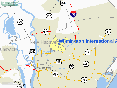
Wilmington International Airport
New Hanover County International Airport |
 |
| IATA: ILM – ICAO: KILM – FAA LID: ILM |
| Summary |
| Airport type |
Public |
| Operator |
Airport Authority |
| Location |
Wrightsboro, New Hanover County, near Wilmington, North Carolina |
| Elevation AMSL |
32 ft / 10 m |
| Coordinates |
34°16′14″N 077°54′09″W / 34.27056°N 77.9025°W / 34.27056; -77.9025Coordinates: 34°16′14″N 077°54′09″W / 34.27056°N 77.9025°W / 34.27056; -77.9025 |
| Runways |
| Direction |
Length |
Surface |
| ft |
m |
| 6/24 |
8,016 |
2,443 |
Concrete |
| 17/35 |
7,004 |
2,135 |
Asphalt |
- This airport is in North Carolina, for the airport formerly known as "Wilmington Airport" in Delaware see New Castle Airport
Wilmington International Airport (IATA: ILM, ICAO: KILM, FAA LID: ILM), sometimes known as the New Hanover County International Airport, is a public airport located just north of Wilmington, North Carolina in unincorporated Wrightsboro, Cape Fear Township, New Hanover County. The airport has two runways and a single terminal which has eight gates. The airport is also home to three fixed base operations (FBO's) which currently house over 100 private aircraft. There is also a 24-hour US Customs ramp for international flights wishing to stop at the airport.
The airport is one of four airports along the East coast which serves as an emergency airfield for any Space Shuttle needing to abort a take off. Should failures occur within the first 2 minutes of the launch with all main engines and solid rocket boosters still firing, the shuttle would likely return to the Kennedy Space Center but should a problem occur shortly after solid rocket boosters separation, Wilmington International could be used as a landing site. Improvements in the orbiter's braking system reduced the previous 10,000 foot runway requirement to 7,500 feet enabling ILM's 8,007-foot runway to serve the role.
In March 2006, ILM received $6.3 million from both NC and the federal government to resurface runway 6/24, which has been untouched in nearly 30 years. In addition to the resurfacing, a new Instrument Landing System will be built for the runway. The airport authority at ILM is hoping the renovations will attract more commercial and international business to the area.
The airport is also a former military base, which accounts for the long runways. Airlines and destinations
| Airlines |
Destinations |
| Allegiant Air |
Orlando-Sanford |
| Delta Connection operated by Atlantic Southeast Airlines |
Atlanta |
| US Airways |
Charlotte |
| US Airways Express operated by Air Wisconsin |
New York-LaGuardia, Philadelphia |
| US Airways Express operated by Chautauqua Airlines |
New York-LaGuardia |
| US Airways Express operated by Republic Airlines |
Charlotte, Philadelphia |
Other aviation
Charter services
Charter services include Air Wilmington and Aero Service. Air Wilmington has its own dedicated building, while Aero Service uses the old terminal.
Other
There are also several private and public hangars. A new international customs station was completed in 2008.
History
During World War II the airfield was used by the United States Army Air Force Third Air Force for antisubmarine patrols and training.
The above content comes from Wikipedia and is published under free licenses – click here to read more.
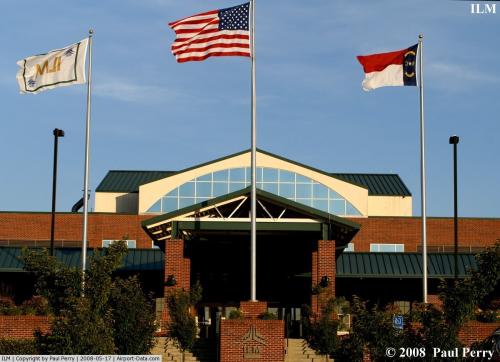 |
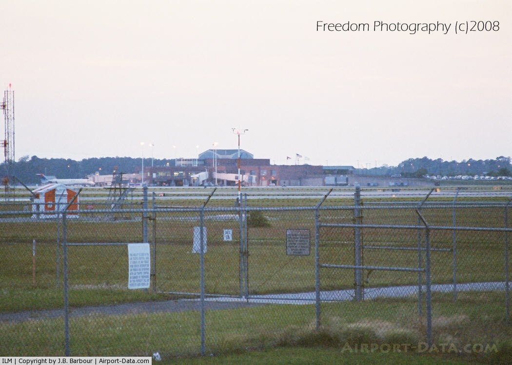
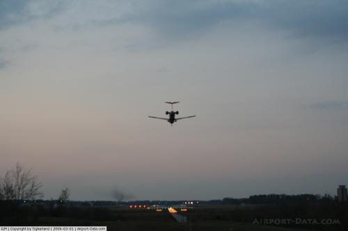
(Click on the photo to enlarge) |
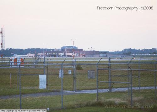 |
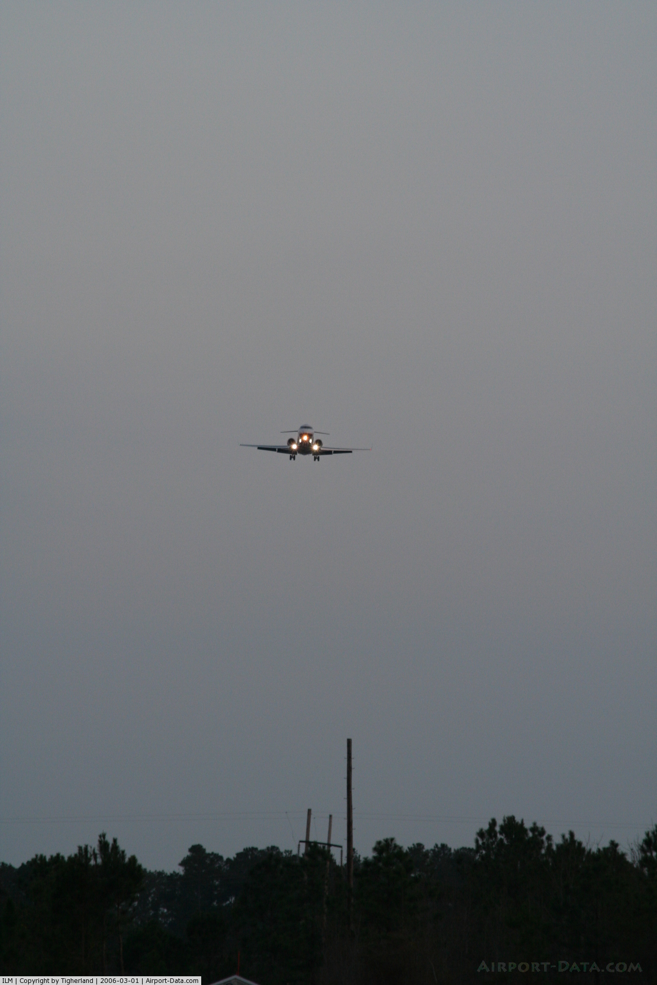
(Click on the photo to enlarge) |
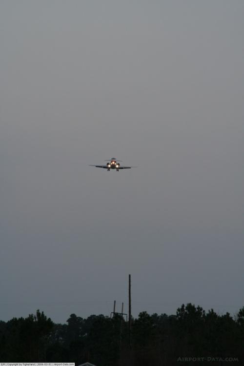 |
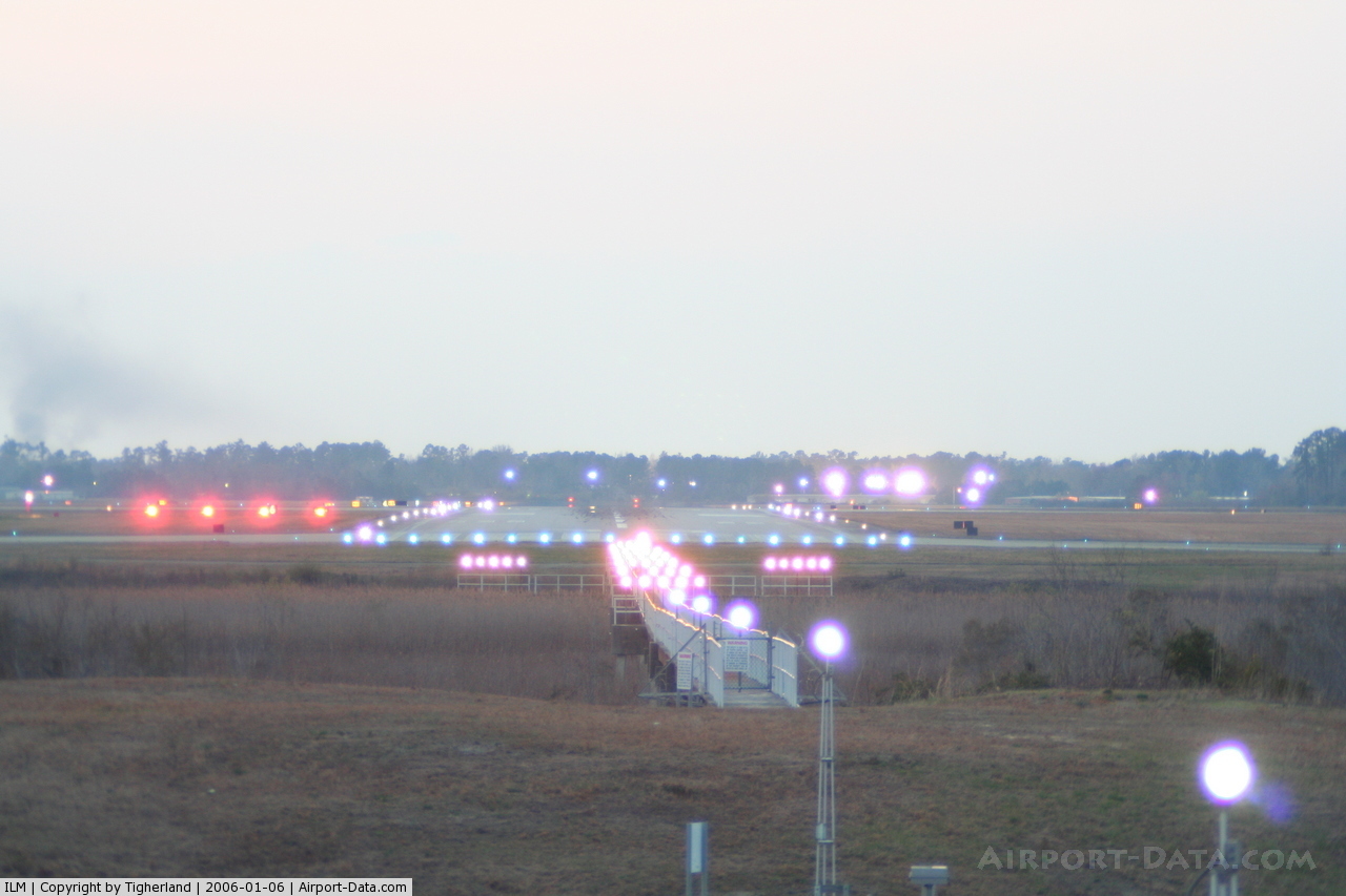
(Click on the photo to enlarge) |
 |
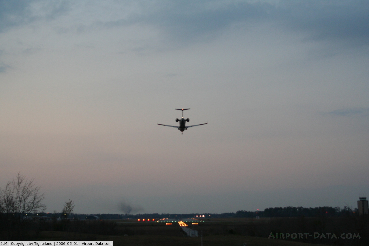
(Click on the photo to enlarge) |
 |
(Click on the photo to enlarge) |
Location & QuickFacts
| FAA Information Effective: | 2008-09-25 |
| Airport Identifier: | ILM |
| Airport Status: | Operational |
| Longitude/Latitude: | 077-54-09.0000W/34-16-14.4000N
-77.902500/34.270667 (Estimated) |
| Elevation: | 32 ft / 9.75 m (Surveyed) |
| Land: | 1800 acres |
| From nearest city: | 3 nautical miles NE of Wilmington, NC |
| Location: | New Hanover County, NC |
| Magnetic Variation: | 07W (1985) |
Owner & Manager
| Ownership: | Publicly owned |
| Owner: | New Hanover County |
| Address: | 1740 Airport Blvd
Wilmington, NC 28405 |
| Phone number: | 910-341-4333 |
| Manager: | Jon Rosborough |
| Address: | 1740 Airport Blvd
Wilmington, NC 28405 |
| Phone number: | 910-341-4333
EXT 1001. |
Airport Operations and Facilities
| Airport Use: | Open to public |
| Wind indicator: | Yes |
| Segmented Circle: | Yes |
| Control Tower: | Yes |
| Lighting Schedule: | DUSK-DAWN
ACTVT REIL RY 17, MALSR RY 35, HIRL RY 17-35, TWY A LGT- CTAF. |
| Beacon Color: | Clear-Green (lighted land airport) |
| Landing fee charge: | No |
| Sectional chart: | Charlotte |
| Region: | ASO - Southern |
| Boundary ARTCC: | ZDC - Washington |
| Tie-in FSS: | RDU - Raleigh
FSS-RALEIGH RDU-NOTAM ILM |
| FSS on Airport: | No |
| FSS Toll Free: | 1-800-WX-BRIEF |
| NOTAMs Facility: | ILM (NOTAM-d service avaliable) |
| Certification type/date: | I B S 05/1973 |
| Federal Agreements: | NGPRY3 |
Airport Communications
| CTAF: | 119.900 |
| Unicom: | 122.950 |
Airport Services
| Fuel available: | 100LLA |
| Airframe Repair: | MAJOR |
| Power Plant Repair: | MAJOR |
| Bottled Oxygen: | HIGH/LOW |
| Bulk Oxygen: | HIGH/LOW |
Runway Information
Runway 06/24
| Dimension: | 8016 x 150 ft / 2443.3 x 45.7 m
RUNWAY LENGTH CHANGED BASED ON OE/AAA DATA |
| Surface: | ASPH, Good Condition |
| Surface Treatment: | Saw-cut or plastic Grooved |
| Pavement Class: | 100/F/A/X/T |
| Weight Limit: | Single wheel: 75000 lbs.
Dual wheel: 160000 lbs.
Dual tandem wheel: 275000 lbs. |
| Edge Lights: | High
STEP 2 OTS INDEFLY. |
| |
Runway 06 |
Runway 24 |
| Longitude: | 077-54-37.1124W | 077-53-25.7332W |
| Latitude: | 34-15-42.7932N | 34-16-35.4770N |
| Elevation: | 21.00 ft | 20.00 ft |
| Alignment: | 48 | 127 |
| ILS Type: | ILS/DME | ILS |
| Traffic Pattern: | Left | Left |
| Markings: | Precision instrument, Good Condition | Precision instrument, Good Condition |
| Crossing Height: | 60.00 ft | 48.00 ft |
| VASI: | 4-box on left side | 4-box on left side |
| Visual Glide Angle: | 3.00° | 3.00° |
| RVR Equipment: | | touchdown |
| Approach lights: | | MALSR |
| Runway End Identifier: | Yes | No |
|
Runway 17/35
| Dimension: | 7004 x 150 ft / 2134.8 x 45.7 m
RUNWAY LENGTH CHANGED BASED ON OE/AAA DATA |
| Surface: | ASPH, Good Condition |
| Surface Treatment: | Saw-cut or plastic Grooved |
| Pavement Class: | 24 /F/A/X/T |
| Weight Limit: | Single wheel: 60000 lbs.
Dual wheel: 185000 lbs.
Dual tandem wheel: 300000 lbs. |
| Edge Lights: | High
STEP 2 OTS INDEFLY. |
| |
Runway 17 |
Runway 35 |
| Longitude: | 077-54-32.9206W | 077-54-03.3191W |
| Latitude: | 34-16-52.3220N | 34-15-47.5483N |
| Elevation: | 30.00 ft | 18.00 ft |
| Alignment: | 127 | 127 |
| ILS Type: | | ILS
|
| Traffic Pattern: | Left | Left |
| Markings: | Precision instrument, Good Condition | Nonstandard, Good Condition |
| Crossing Height: | 53.00 ft | 57.00 ft |
| VASI: | 4-box on left side | 4-light PAPI on left side |
| Visual Glide Angle: | 3.00° | 2.50° |
| RVR Equipment: | | touchdown |
| Approach lights: | | MALSR |
| Runway End Identifier: | Yes | |
| Obstruction: | 52 ft tree, 1500.0 ft from runway, 300 ft left of centerline, 25:1 slope to clear | , 50:1 slope to clear |
|
Radio Navigation Aids
| ID |
Type |
Name |
Ch |
Freq |
Var |
Dist |
| CLB | NDB | Carolina Beach | | 216.00 | 04W | 10.3 nm |
| SUT | NDB | Yaupon | | 233.00 | 08W | 22.3 nm |
| ACZ | NDB | Pendy | | 379.00 | 09W | 27.2 nm |
| TGQ | NDB | Elizabethtown | | 398.00 | 08W | 34.1 nm |
| NCA | NDB | New River | | 356.00 | 08W | 35.8 nm |
| CPC | NDB | Camp | | 227.00 | 07W | 40.3 nm |
| CTZ | NDB | Clinton | | 412.00 | 08W | 48.1 nm |
| DKA | NDB | Kenan | | 332.00 | 07W | 48.2 nm |
| DIW | NDB/DME | Dixon | 107X | 198.00 | 08W | 28.6 nm |
| NCA | TACAN | New River | 101X | | 08W | 34.8 nm |
| ILM | VORTAC | Wilmington | 117X | 117.00 | 07W | 5.1 nm |
| CRE | VORTAC | Grand Strand | 123X | 117.60 | 03W | 49.3 nm |
Remarks
- FUEL: A+ (AIR WILMINGTON, INC, C910-763-4691.) (NC-100LL)
- AF: NO TRAN MIL FAC AVBL.
- BEARING STRENGTH RWY 06-24: ST175
- BEARING STRENGTH RWY 17-35: ST175
- ARPT IN EXISTENCE IN 1956.
Images and information placed above are from
http://www.airport-data.com/airport/ILM/
We thank them for the data!
| General Info
|
| Country |
United States
|
| State |
NORTH CAROLINA
|
| FAA ID |
ILM
|
| Latitude |
34-16-14.200N
|
| Longitude |
077-54-09.200W
|
| Elevation |
32 feet
|
| Near City |
WILMINGTON
|
We don't guarantee the information is fresh and accurate. The data may
be wrong or outdated.
For more up-to-date information please refer to other sources.
|
|