|
|
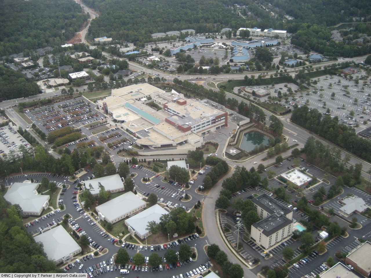
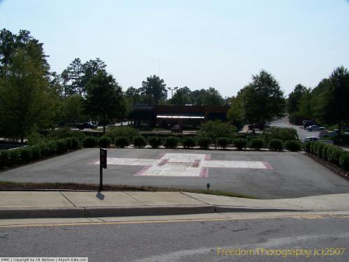
Western Wake Medical Center Heliport |
 |
(Click on the photo to enlarge) |
 |
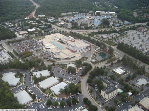
(Click on the photo to enlarge) |
 |
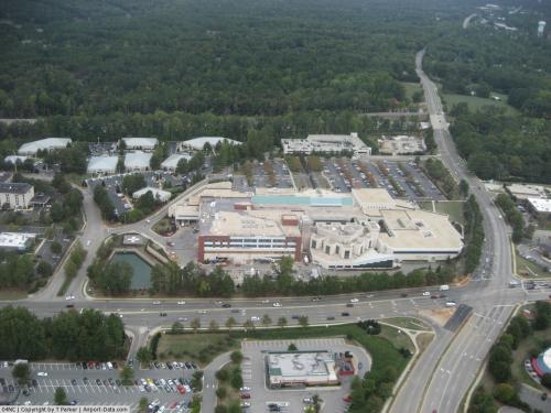
(Click on the photo to enlarge) |
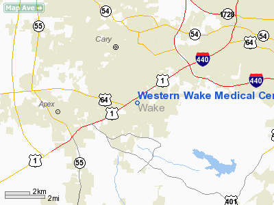
Location & QuickFacts
| FAA Information Effective: | 2008-09-25 |
| Airport Identifier: | 04NC |
| Airport Status: | Operational |
| Longitude/Latitude: | 078-46-56.0000W/35-44-21.0000N
-78.782222/35.739167 (Estimated) |
| Elevation: | 445 ft / 135.64 m (Estimated) |
| Land: | 22 acres |
| From nearest city: | 5 nautical miles SE of Cary, NC |
| Location: | Wake County, NC |
| Magnetic Variation: | 07W (1990) |
Owner & Manager
| Ownership: | Publicly owned |
| Owner: | Wake County Hospital Systems |
| Address: | 1900 Kildaire Farm Road
Cary, NC 27512-6616 |
| Phone number: | 919-233-2320 |
| Manager: | Jeff Kuhfahl |
| Address: | 1900 Kildaire Farm Road
Cary, NC 27512-6616 |
| Phone number: | 919-233-2320 |
Airport Operations and Facilities
| Airport Use: | Private
MEDICAL USE. |
| Wind indicator: | Yes |
| Segmented Circle: | No |
| Control Tower: | No |
| Sectional chart: | Charlotte |
| Region: | ASO - Southern |
| Boundary ARTCC: | ZDC - Washington |
| Tie-in FSS: | RDU - Raleigh |
| FSS on Airport: | No |
| FSS Toll Free: | 1-800-WX-BRIEF |
Runway Information
Helipad H1
| Dimension: | 91 x 35 ft / 27.7 x 10.7 m |
| Surface: | ASPH, |
| |
Runway H1 |
Runway |
| Traffic Pattern: | Left | Left |
|
Radio Navigation Aids
| ID |
Type |
Name |
Ch |
Freq |
Var |
Dist |
| LE | NDB | Leevy | | 350.00 | 07W | 11.7 nm |
| HQT | NDB | Harnett | | 417.00 | 08W | 19.1 nm |
| EUU | NDB | Jnall | | 251.00 | 07W | 22.4 nm |
| TT | NDB | Leeco | | 406.00 | 08W | 22.7 nm |
| JN | NDB | Jurly | | 263.00 | 09W | 23.6 nm |
| EEJ | NDB | Lee County/dcmsnd | | 428.00 | 07W | 30.8 nm |
| POB | NDB | Pope | | 338.00 | 07W | 31.9 nm |
| HUR | NDB | Person | | 220.00 | 08W | 32.7 nm |
| TOX | NDB | Siler City | | 371.00 | 07W | 33.2 nm |
| HXO | NDB | Huntsboro | | 271.00 | 07W | 34.7 nm |
| FGP | NDB | Fort Bragg | | 393.00 | 07W | 36.1 nm |
| RW | NDB | Jambe | | 235.00 | 09W | 39.9 nm |
| HB | NDB | Himun | | 361.00 | 08W | 41.7 nm |
| JYN | NDB | Wayne | | 208.00 | 08W | 44.9 nm |
| POB | TACAN | Pope | 085X | | 07W | 36.7 nm |
| GSB | TACAN | Seymour Johnson | 112X | | 08W | 46.5 nm |
| FAY | VOR/DME | Fayetteville | 025X | 108.80 | 04W | 45.5 nm |
| RDU | VORTAC | Raleigh/durham | 119X | 117.20 | 04W | 8.0 nm |
| LIB | VORTAC | Liberty | 077X | 113.00 | 03W | 40.7 nm |
Remarks
- SEE AIRSPACE CASE 98-ATL-0107-NRA.
Images and information placed above are from
http://www.airport-data.com/airport/04NC/
We thank them for the data!
| General Info
|
| Country |
United States
|
| State |
NORTH CAROLINA
|
| FAA ID |
04NC
|
| Latitude |
35-44-21.000N
|
| Longitude |
078-46-56.000W
|
| Elevation |
445 feet
|
| Near City |
CARY
|
We don't guarantee the information is fresh and accurate. The data may
be wrong or outdated.
For more up-to-date information please refer to other sources.
|
|