|
|
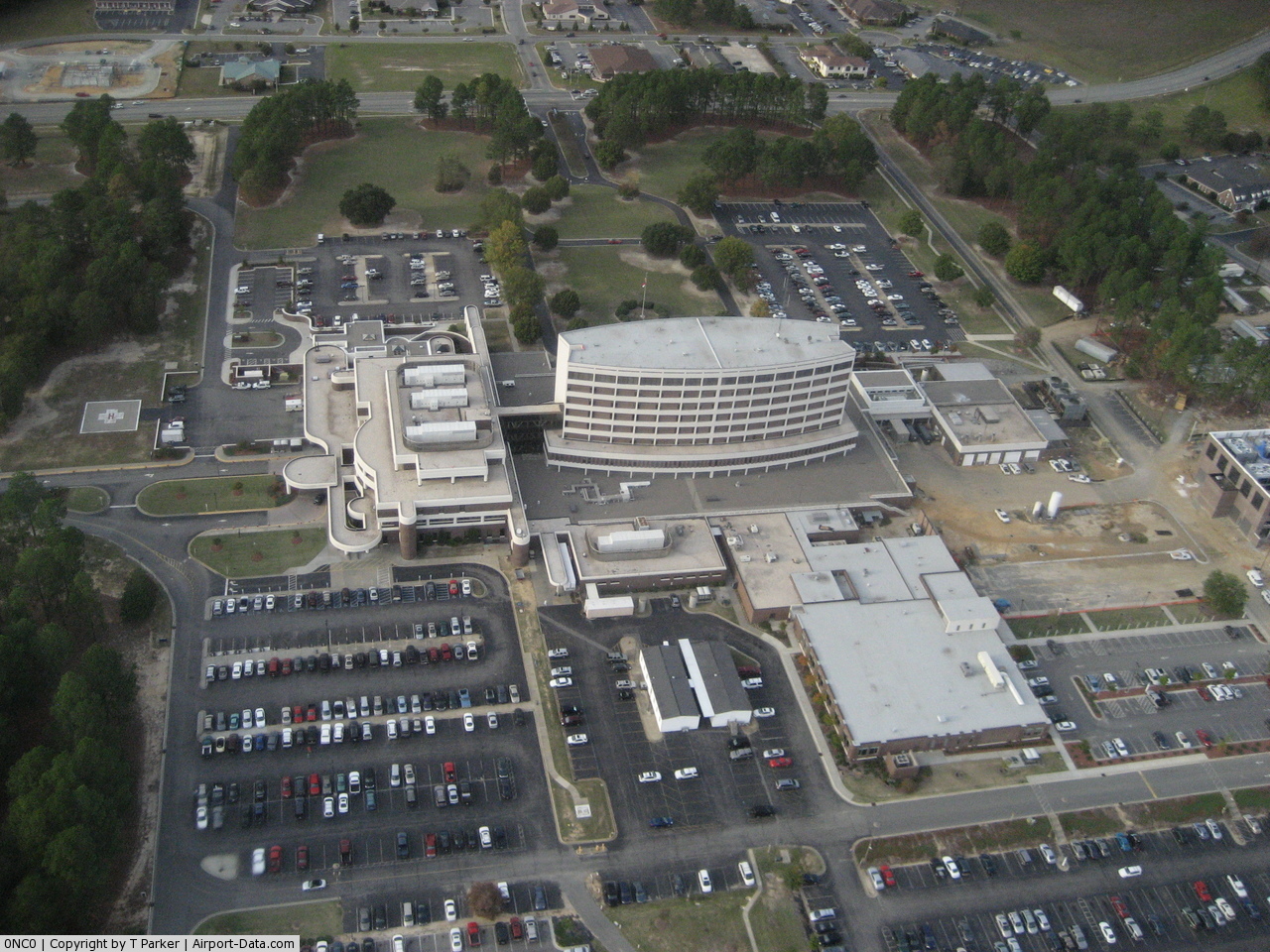
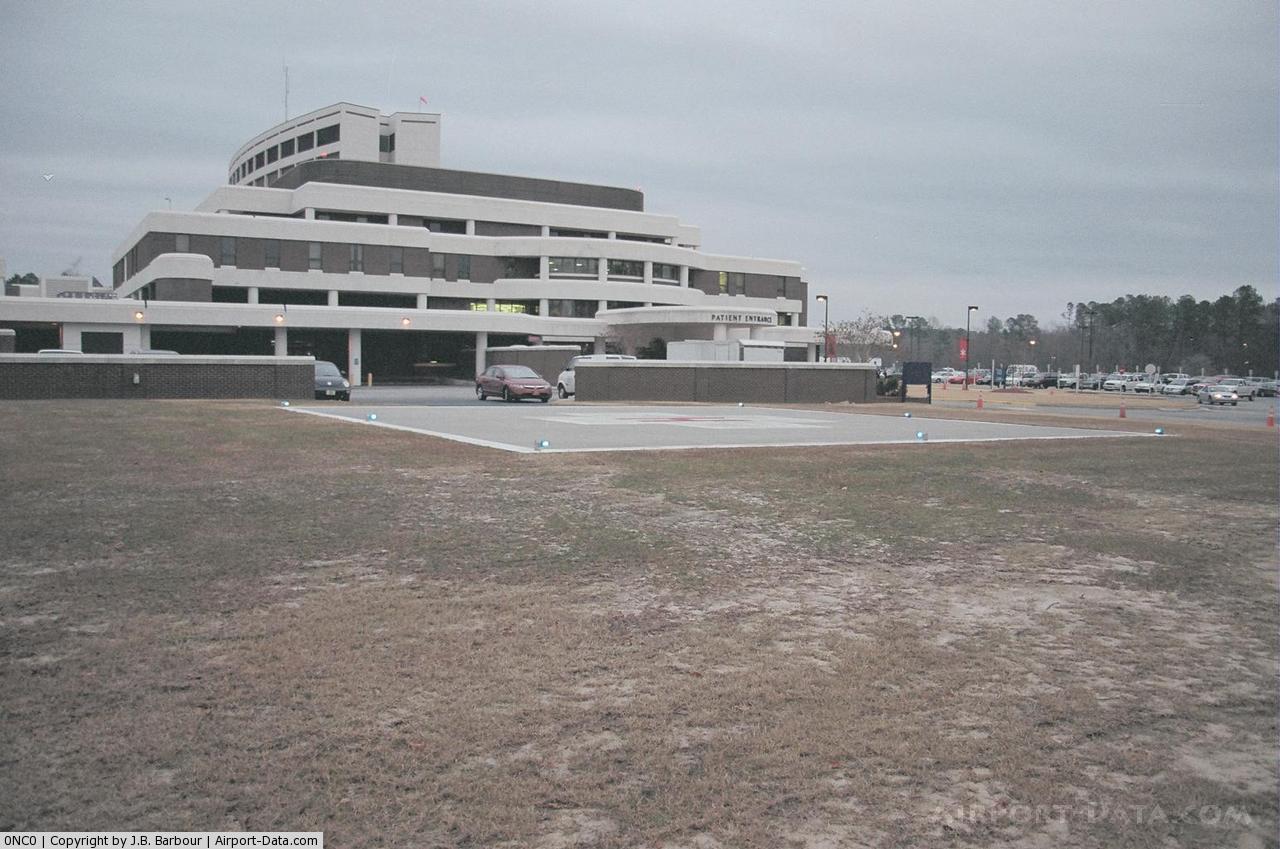
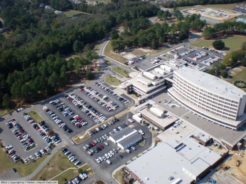
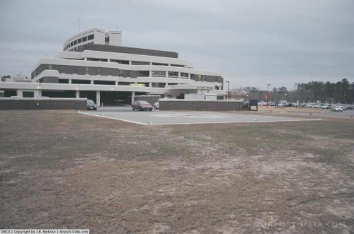
Wayne Memorial Hospital Inc. Heliport |
 |
(Click on the photo to enlarge) |
 |
(Click on the photo to enlarge) |
 |
(Click on the photo to enlarge) |
Location & QuickFacts
| FAA Information Effective: | 2008-09-25 |
| Airport Identifier: | 0NC0 |
| Airport Status: | Operational |
| Longitude/Latitude: | 077-56-58.9470W/35-23-55.5820N
-77.949708/35.398773 (Estimated) |
| Elevation: | 106 ft / 32.31 m (Estimated) |
| Land: | 0 acres |
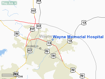
| From nearest city: | 2 nautical miles NE of Goldsboro, NC |
| Location: | Wayne County, NC |
| Magnetic Variation: | 07W (1985) |
Owner & Manager
| Ownership: | Publicly owned |
| Owner: | Wayne Memorial Hospital, Inc. |
| Address: | 2700 Wayne Memorial Drive
Goldsboro, NC 27530 |
| Phone number: | 919-736-1110 |
| Manager: | Michael J Wightman |
| Address: | 2700 Wayne Memorial Drive
Goldsboro, NC 27530 |
| Phone number: | 919-736-1110 |
Airport Operations and Facilities
| Airport Use: | Private
MEDICAL. |
| Wind indicator: | Yes |
| Segmented Circle: | No |
| Control Tower: | No |
| Sectional chart: | Charlotte |
| Region: | ASO - Southern |
| Boundary ARTCC: | ZDC - Washington |
| Tie-in FSS: | RDU - Raleigh |
| FSS on Airport: | No |
| FSS Toll Free: | 1-800-WX-BRIEF |
Runway Information
Helipad H1
| Dimension: | 50 x 50 ft / 15.2 x 15.2 m |
| Surface: | CONC, |
| |
Runway H1 |
Runway |
| Traffic Pattern: | Left | Left |
|
Radio Navigation Aids
| ID |
Type |
Name |
Ch |
Freq |
Var |
Dist |
| PGV | FAN MARKER | Belvoir | | | 06W | 31.3 nm |
| JYN | NDB | Wayne | | 208.00 | 08W | 8.0 nm |
| DKA | NDB | Kenan | | 332.00 | 07W | 19.7 nm |
| RW | NDB | Jambe | | 235.00 | 09W | 22.2 nm |
| EUU | NDB | Jnall | | 251.00 | 07W | 23.4 nm |
| JN | NDB | Jurly | | 263.00 | 09W | 23.7 nm |
| CTZ | NDB | Clinton | | 412.00 | 08W | 32.6 nm |
| AQE | NDB | Alwood | | 230.00 | 09W | 33.8 nm |
| HQT | NDB | Harnett | | 417.00 | 08W | 35.6 nm |
| ETC | NDB | Tarboro | | 257.00 | 08W | 37.8 nm |
| ACZ | NDB | Pendy | | 379.00 | 09W | 41.1 nm |
| RNW | NDB | Chocowinity | | 388.00 | 07W | 41.8 nm |
| FGP | NDB | Fort Bragg | | 393.00 | 07W | 45.1 nm |
| MCZ | NDB | Williamston | | 336.00 | 09W | 46.8 nm |
| NCA | NDB | New River | | 356.00 | 08W | 48.1 nm |
| LE | NDB | Leevy | | 350.00 | 07W | 49.3 nm |
| GSB | TACAN | Seymour Johnson | 112X | | 08W | 4.0 nm |
| NCA | TACAN | New River | 101X | | 08W | 48.5 nm |
| EWN | VOR/DME | New Bern | 083X | 113.60 | 08W | 48.5 nm |
| ISO | VORTAC | Kinston | 033X | 109.60 | 05W | 19.3 nm |
| TYI | VORTAC | Tar River | 125X | 117.80 | 05W | 36.8 nm |
| RDU | VORTAC | Raleigh/durham | 119X | 117.20 | 04W | 49.7 nm |
Remarks
- VFR, PVT USE, COORD USE OF HELI WITH RALEIGH GADO.
Images and information placed above are from
http://www.airport-data.com/airport/0NC0/
We thank them for the data!
| General Info
|
| Country |
United States
|
| State |
NORTH CAROLINA
|
| FAA ID |
0NC0
|
| Latitude |
35-23-55.582N
|
| Longitude |
077-56-58.947W
|
| Elevation |
106 feet
|
| Near City |
GOLDSBORO
|
We don't guarantee the information is fresh and accurate. The data may
be wrong or outdated.
For more up-to-date information please refer to other sources.
|
|