|
|
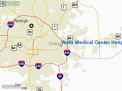
Wake Medical Center Heliport |
 |
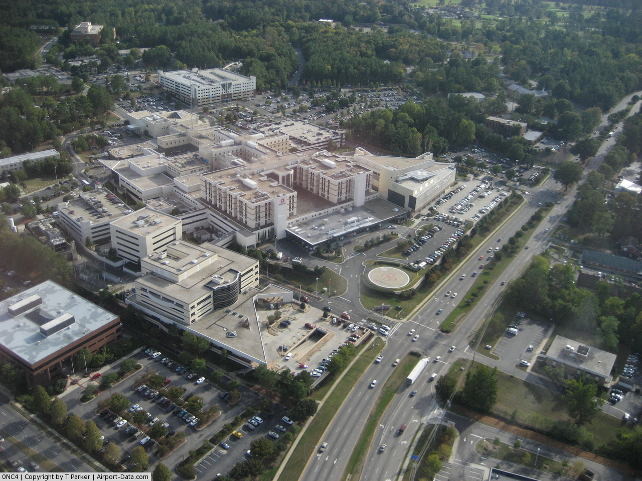
(Click on the photo to enlarge) |
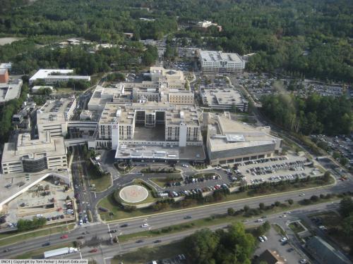 |
(Click on the photo to enlarge) |
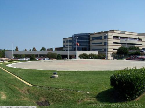 |
(Click on the photo to enlarge) |
Location & QuickFacts
| FAA Information Effective: | 2008-09-25 |
| Airport Identifier: | 0NC4 |
| Airport Status: | Operational |
| Longitude/Latitude: | 078-35-09.0080W/35-47-12.5450N
-78.585836/35.786818 (Estimated) |
| Elevation: | 245 ft / 74.68 m (Estimated) |
| Land: | 0 acres |
| From nearest city: | 2 nautical miles NE of Raleigh, NC |
| Location: | Wake County, NC |
| Magnetic Variation: | 07W (1985) |
Owner & Manager
| Ownership: | Publicly owned |
| Owner: | Wake Medical Center |
| Address: | 3000 New Bern Ave
Raleigh, NC 27610-1295 |
| Phone number: | 919-350-8104 |
| Manager: | Alan F. Holley |
| Address: | 3000 New Bern Ave
Raleigh, NC 27610-1295 |
| Phone number: | 919-350-8339 |
Airport Operations and Facilities
| Airport Use: | Private
MEDICAL. |
| Wind indicator: | Yes |
| Segmented Circle: | No |
| Control Tower: | No |
| Lighting Schedule: | PHONE REQ
FOR ROTG BCN & PERIMETER LGTS CALL 919-350-8171. |
| Beacon Color: | Clear (unlighted land airport)
SINGLE FLASHING 360 DEG STROBE. |
| Landing fee charge: | No |
| Sectional chart: | Charlotte |
| Region: | ASO - Southern |
| Boundary ARTCC: | ZDC - Washington |
| Tie-in FSS: | RDU - Raleigh |
| FSS on Airport: | No |
| FSS Toll Free: | 1-800-WX-BRIEF |
Runway Information
Helipad H1
| Dimension: | 70 x 70 ft / 21.3 x 21.3 m |
| Surface: | CONC, |
| |
Runway H1 |
Runway |
| Traffic Pattern: | Left | Left |
| Markings: | Basic, Good Condition | , |
|
Radio Navigation Aids
| ID |
Type |
Name |
Ch |
Freq |
Var |
Dist |
| LE | NDB | Leevy | | 350.00 | 07W | 10.7 nm |
| EUU | NDB | Jnall | | 251.00 | 07W | 15.6 nm |
| JN | NDB | Jurly | | 263.00 | 09W | 20.3 nm |
| HQT | NDB | Harnett | | 417.00 | 08W | 21.7 nm |
| RW | NDB | Jambe | | 235.00 | 09W | 30.3 nm |
| HXO | NDB | Huntsboro | | 271.00 | 07W | 30.9 nm |
| TT | NDB | Leeco | | 406.00 | 08W | 32.2 nm |
| HUR | NDB | Person | | 220.00 | 08W | 35.6 nm |
| JYN | NDB | Wayne | | 208.00 | 08W | 37.0 nm |
| POB | NDB | Pope | | 338.00 | 07W | 38.2 nm |
| EEJ | NDB | Lee County/dcmsnd | | 428.00 | 07W | 39.9 nm |
| FGP | NDB | Fort Bragg | | 393.00 | 07W | 40.5 nm |
| TOX | NDB | Siler City | | 371.00 | 07W | 42.8 nm |
| CTZ | NDB | Clinton | | 412.00 | 08W | 50.0 nm |
| HB | NDB | Himun | | 361.00 | 08W | 50.0 nm |
| GSB | TACAN | Seymour Johnson | 112X | | 08W | 40.5 nm |
| POB | TACAN | Pope | 085X | | 07W | 43.3 nm |
| RDU | VORTAC | Raleigh/durham | 119X | 117.20 | 04W | 10.9 nm |
| TYI | VORTAC | Tar River | 125X | 117.80 | 05W | 44.4 nm |
Remarks
- VFR, PVT USE, USE OF HELI IS COORDD WITH RALEIGH GADO.
Images and information placed above are from
http://www.airport-data.com/airport/0NC4/
We thank them for the data!
| General Info
|
| Country |
United States
|
| State |
NORTH CAROLINA
|
| FAA ID |
0NC4
|
| Latitude |
35-47-12.545N
|
| Longitude |
078-35-09.008W
|
| Elevation |
245 feet
|
| Near City |
RALEIGH
|
We don't guarantee the information is fresh and accurate. The data may
be wrong or outdated.
For more up-to-date information please refer to other sources.
|
|