|
|
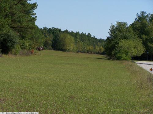 |
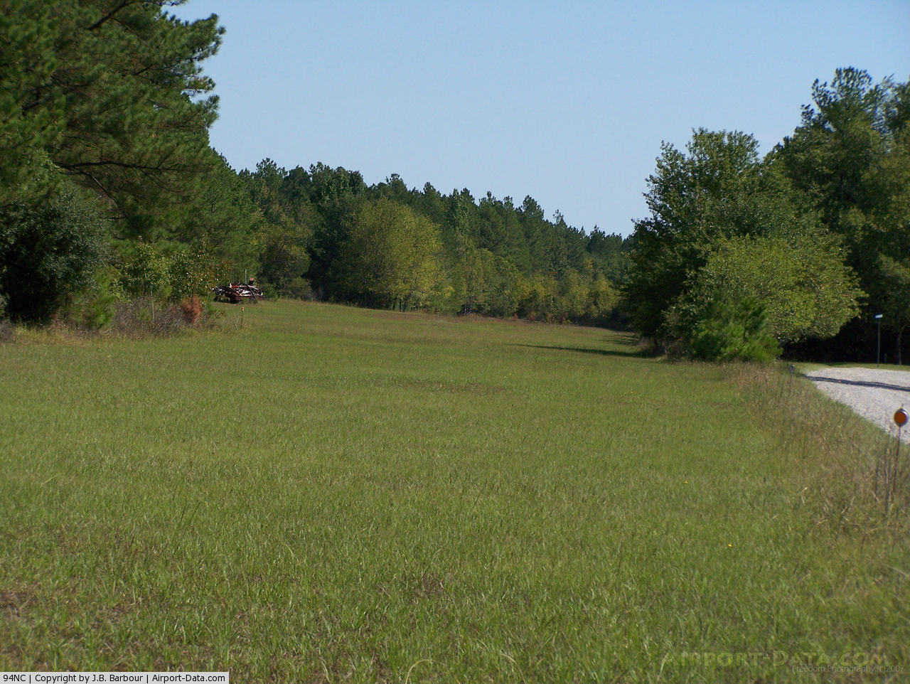
(Click on the photo to enlarge) |
Location & QuickFacts
| FAA Information Effective: | 2008-09-25 |
| Airport Identifier: | 94NC |
| Airport Status: | Operational |
| Longitude/Latitude: | 079-15-36.1200W/35-00-34.5980N
-79.260033/35.009611 (Estimated) |
| Elevation: | 295 ft / 89.92 m (Estimated) |
| Land: | 15 acres |
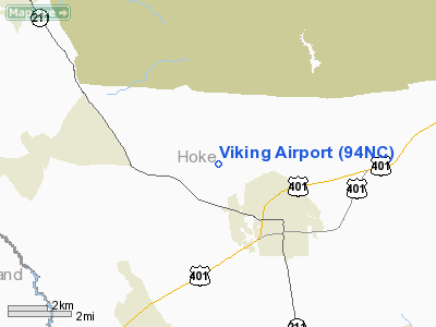
| From nearest city: | 3 nautical miles NW of Raeford, NC |
| Location: | Hoke County, NC |
| Magnetic Variation: | 06W (1985) |
Owner & Manager
| Ownership: | Privately owned |
| Owner: | Eric M. Christensen |
| Address: | 353 Christensen Lane
Raeford, NC 28376 |
| Phone number: | 910-875-4024 |
| Manager: | Eric M. Christensen |
| Address: | 353 Christensen Lane
Raeford, NC 28376 |
| Phone number: | 910-904-3500 |
Airport Operations and Facilities
| Airport Use: | Private |
| Segmented Circle: | No |
| Control Tower: | No |
| Landing fee charge: | No |
| Sectional chart: | Charlotte |
| Region: | ASO - Southern |
| Boundary ARTCC: | ZDC - Washington |
| Tie-in FSS: | RDU - Raleigh |
| FSS on Airport: | No |
| FSS Toll Free: | 1-800-WX-BRIEF |
Airport Services
| Fuel available: | MOGAS |
| Airframe Repair: | MAJOR |
| Power Plant Repair: | MAJOR |
Runway Information
Runway 07/25
| Dimension: | 2600 x 65 ft / 792.5 x 19.8 m |
| Surface: | TURF, |
| |
Runway 07 |
Runway 25 |
| Traffic Pattern: | Left | Right |
| Obstruction: | 25 ft pline, 640.0 ft from runway | 25 ft pline, 850.0 ft from runway |
|
Radio Navigation Aids
| ID |
Type |
Name |
Ch |
Freq |
Var |
Dist |
| HFF | NDB | Mackall | | 278.00 | 06W | 11.2 nm |
| ME | NDB | Maxtn | | 257.00 | 08W | 18.9 nm |
| POB | NDB | Pope | | 338.00 | 07W | 19.9 nm |
| EEJ | NDB | Lee County/dcmsnd | | 428.00 | 07W | 21.9 nm |
| FGP | NDB | Fort Bragg | | 393.00 | 07W | 23.3 nm |
| RCZ | NDB | Roscoe | | 375.00 | 07W | 23.4 nm |
| RSY | NDB | Robeson | | 359.00 | 08W | 25.8 nm |
| JB | NDB | Jigel | | 384.00 | 08W | 28.5 nm |
| TT | NDB | Leeco | | 406.00 | 08W | 29.9 nm |
| BES | NDB | Bennettsville | | 230.00 | 07W | 33.1 nm |
| CQW | NDB | Cheraw | | 409.00 | 05W | 33.9 nm |
| DLC | NDB | Dillon | | 274.00 | 05W | 34.1 nm |
| HQT | NDB | Harnett | | 417.00 | 08W | 38.4 nm |
| AFP | NDB | Anson County | | 283.00 | 07W | 40.5 nm |
| CTZ | NDB | Clinton | | 412.00 | 08W | 44.2 nm |
| UDG | NDB | Darlington | | 245.00 | 06W | 46.0 nm |
| TOX | NDB | Siler City | | 371.00 | 07W | 46.3 nm |
| TGQ | NDB | Elizabethtown | | 398.00 | 08W | 46.8 nm |
| VU | NDB | Aller | | 346.00 | 06W | 49.5 nm |
| JN | NDB | Jurly | | 263.00 | 09W | 49.6 nm |
| MAO | NDB | Marion | | 388.00 | 06W | 49.7 nm |
| POB | TACAN | Pope | 085X | | 07W | 14.8 nm |
| LBT | VOR | Lumberton | | 110.00 | 08W | 26.0 nm |
| FAY | VOR/DME | Fayetteville | 025X | 108.80 | 04W | 19.0 nm |
| SDZ | VORTAC | Sandhills | 055X | 111.80 | 03W | 20.3 nm |
Remarks
- VFR OPNS, PVT USE, ALL MANEUVERING TURNS NW OF EXTNDD RWY CNTRLN.
Images and information placed above are from
http://www.airport-data.com/airport/94NC/
We thank them for the data!
| General Info
|
| Country |
United States
|
| State |
NORTH CAROLINA
|
| FAA ID |
94NC
|
| Latitude |
35-00-34.598N
|
| Longitude |
079-15-36.120W
|
| Elevation |
295 feet
|
| Near City |
RAEFORD
|
We don't guarantee the information is fresh and accurate. The data may
be wrong or outdated.
For more up-to-date information please refer to other sources.
|
|