 |
|
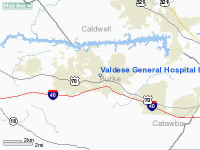
Valdese General Hospital Heliport |
Location & QuickFacts
| FAA Information Effective: | 2008-09-25 |
| Airport Identifier: | 37NC |
| Airport Status: | Operational |
| Longitude/Latitude: | 081-31-21.0000W/35-44-53.0000N
-81.522500/35.748056 (Estimated) |
| Elevation: | 1250 ft / 381.00 m (Estimated) |
| Land: | 0 acres |
| From nearest city: | 4 nautical miles E of Valdese, NC |
| Location: | Burke County, NC |
| Magnetic Variation: | 06W (1995) |
Owner & Manager
| Ownership: | Privately owned |
| Owner: | Valdese General Hospital, Inc |
| Address: | P.o. Box 700
Valdese, NC 28690 |
| Phone number: | 828-580-5000 |
| Manager: | S.e. Hitt, Vp Clin Svcs |
| Address: | 2201 S. Sterling St
Morgantown, NC 28655 |
| Phone number: | 704-879-7523 |
Airport Operations and Facilities
| Airport Use: | Private
MEDICAL USE. |
| Wind indicator: | Yes |
| Segmented Circle: | No |
| Control Tower: | No |
| Lighting Schedule: | PHONE REQ
FOR PERIMETER LGTS CTC AMGR 704-879-7523. |
| Sectional chart: | Atlanta |
| Region: | ASO - Southern |
| Boundary ARTCC: | ZTL - Atlanta |
| Tie-in FSS: | RDU - Raleigh |
| FSS on Airport: | No |
| FSS Toll Free: | 1-800-WX-BRIEF |
Runway Information
Helipad H1
| Dimension: | 48 x 50 ft / 14.6 x 15.2 m |
| Surface: | ASPH, |
| |
Runway H1 |
Runway |
| Traffic Pattern: | Left | Left |
|
Radio Navigation Aids
| ID |
Type |
Name |
Ch |
Freq |
Var |
Dist |
| MRN | FAN MARKER | Lenoir | | | 03W | 5.8 nm |
| FIQ | NDB | Fiddlers | | 391.00 | 07W | 7.6 nm |
| HK | NDB | Tawba | | 332.00 | 06W | 10.8 nm |
| VW | NDB | Temky | | 280.00 | 05W | 22.4 nm |
| IZN | NDB | Lincolnton | | 432.00 | 06W | 24.8 nm |
| BAR | NDB | Hemlock | | 320.00 | 02W | 29.9 nm |
| SLP | NDB | First River | | 417.00 | 06W | 30.0 nm |
| UKF | NDB | Wilki | | 209.00 | 06W | 30.1 nm |
| RFE | NDB | Rutherford | | 344.00 | 05W | 31.9 nm |
| GHJ | NDB | Stonia | | 260.00 | 06W | 37.9 nm |
| JU | NDB | Ashee | | 410.00 | 07W | 42.4 nm |
| JJO | NDB | Mountain City | | 396.00 | 04W | 42.8 nm |
| EZT | NDB | Elizabethton | | 275.00 | 02W | 49.9 nm |
| BZM | VOR/DME | Barretts Mountain | 045X | 110.80 | 06W | 15.5 nm |
| CLT | VOR/DME | Charlotte | 097X | 115.00 | 05W | 43.6 nm |
| SUG | VORTAC | Sugarloaf Mountain | 059X | 112.20 | 02W | 41.9 nm |
| SPA | VORTAC | Spartanburg | 104X | 115.70 | 02W | 47.3 nm |
| HKY | VOT | Hickory Regional | | 110.00 | | 6.4 nm |
| CLT | VOT | Charlotte | | 112.00 | | 43.0 nm |
Remarks
- PRVDD VFR/PVT USE ONLY; ALL APCH/DEP FROM 090-240; AREA IS MKD; LIGHTED WIND INDICATOR IS INSTALLED.
Images and information placed above are from
http://www.airport-data.com/airport/37NC/
We thank them for the data!
| General Info
|
| Country |
United States
|
| State |
NORTH CAROLINA
|
| FAA ID |
37NC
|
| Latitude |
35-44-53.000N
|
| Longitude |
081-31-21.000W
|
| Elevation |
1250 feet
|
| Near City |
VALDESE
|
We don't guarantee the information is fresh and accurate. The data may
be wrong or outdated.
For more up-to-date information please refer to other sources.
|
|


