|
|
 |
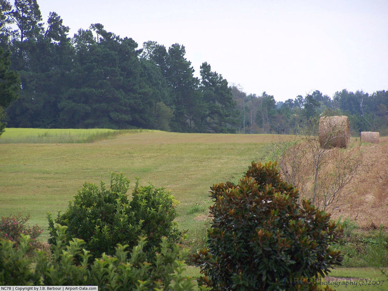
(Click on the photo to enlarge) |
Location & QuickFacts
| FAA Information Effective: | 2008-09-25 |
| Airport Identifier: | NC78 |
| Airport Status: | Operational |
| Longitude/Latitude: | 078-57-19.1010W/34-12-36.6060N
-78.955306/34.210168 (Estimated) |
| Elevation: | 105 ft / 32.00 m (Estimated) |
| Land: | 0 acres |
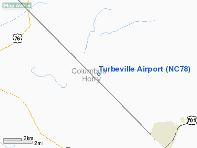
| From nearest city: | 6 nautical miles NW of Tabor City, NC |
| Location: | Columbus County, NC |
| Magnetic Variation: | 06W (1985) |
Owner & Manager
| Ownership: | Privately owned |
| Owner: | Jimmy Turbeville |
| Address: | Route 2 Box 55a
Tabor City, NC 28463 |
| Phone number: | 910-649-7210 |
| Manager: | Jimmy Turbeville |
| Address: | 7528 Swamp Fox Hwy W
Tabor City, NC 28463-8778 |
| Phone number: | 910-649-7210 |
Airport Operations and Facilities
| Airport Use: | Private |
| Segmented Circle: | No |
| Control Tower: | No |
| Landing fee charge: | No |
| Sectional chart: | Charlotte |
| Region: | ASO - Southern |
| Boundary ARTCC: | ZJX - Jacksonville |
| Tie-in FSS: | RDU - Raleigh |
| FSS on Airport: | No |
| FSS Toll Free: | 1-800-WX-BRIEF |
Runway Information
Runway 08/26
| Dimension: | 1700 x 100 ft / 518.2 x 30.5 m |
| Surface: | TURF, |
| |
Runway 08 |
Runway 26 |
| Traffic Pattern: | Left | Left |
|
Radio Navigation Aids
| ID |
Type |
Name |
Ch |
Freq |
Var |
Dist |
| CPC | NDB | Camp | | 227.00 | 07W | 12.6 nm |
| MAO | NDB | Marion | | 388.00 | 06W | 18.8 nm |
| JB | NDB | Jigel | | 384.00 | 08W | 22.1 nm |
| RSY | NDB | Robeson | | 359.00 | 08W | 24.8 nm |
| HYW | NDB | Horry | | 370.00 | 08W | 24.8 nm |
| DLC | NDB | Dillon | | 274.00 | 05W | 25.1 nm |
| TGQ | NDB | Elizabethtown | | 398.00 | 08W | 29.0 nm |
| ME | NDB | Maxtn | | 257.00 | 08W | 39.7 nm |
| HEK | NDB | Stuckey | | 236.00 | 06W | 40.6 nm |
| CFY | NDB | Evans | | 420.00 | 06W | 45.6 nm |
| BES | NDB | Bennettsville | | 230.00 | 07W | 45.8 nm |
| SUT | NDB | Yaupon | | 233.00 | 08W | 47.0 nm |
| UDG | NDB | Darlington | | 245.00 | 06W | 48.3 nm |
| CLB | NDB | Carolina Beach | | 216.00 | 04W | 49.8 nm |
| LBT | VOR | Lumberton | | 110.00 | 08W | 24.6 nm |
| FAY | VOR/DME | Fayetteville | 025X | 108.80 | 04W | 46.8 nm |
| CRE | VORTAC | Grand Strand | 123X | 117.60 | 03W | 26.5 nm |
| FLO | VORTAC | Florence | 099X | 115.20 | 03W | 34.9 nm |
Remarks
- VFR OPERATIONS/PERSONAL USE.
Images and information placed above are from
http://www.airport-data.com/airport/NC78/
We thank them for the data!
| General Info
|
| Country |
United States
|
| State |
NORTH CAROLINA
|
| FAA ID |
NC78
|
| Latitude |
34-12-36.606N
|
| Longitude |
078-57-19.101W
|
| Elevation |
105 feet
|
| Near City |
TABOR CITY
|
We don't guarantee the information is fresh and accurate. The data may
be wrong or outdated.
For more up-to-date information please refer to other sources.
|
|