|
|
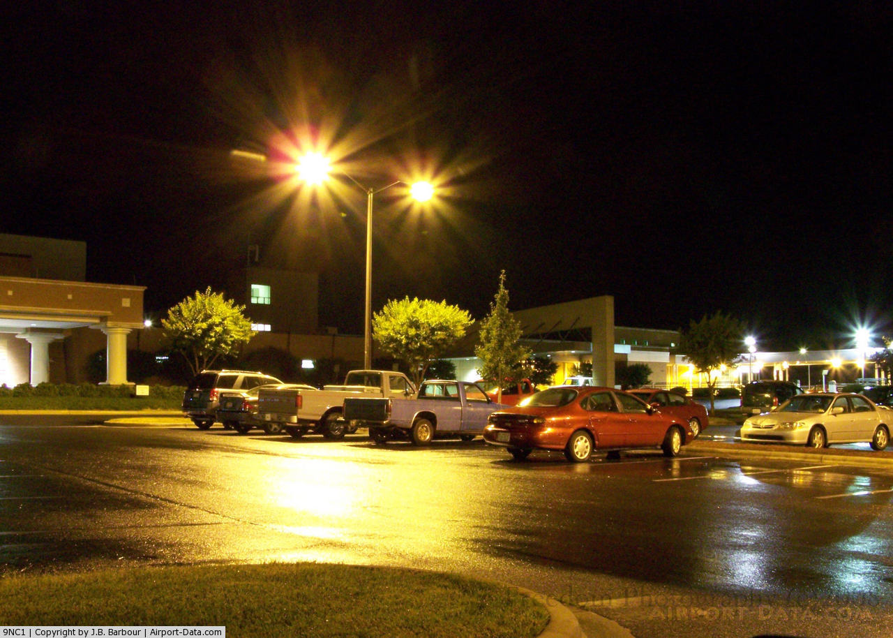
Stanley Memorial Hospital Heliport |
 |
(Click on the photo to enlarge) |
Location & QuickFacts
| FAA Information Effective: | 2008-09-25 |
| Airport Identifier: | 9NC1 |
| Airport Status: | Operational |
| Longitude/Latitude: | 080-11-41.0000W/35-21-48.0000N
-80.194722/35.363333 (Estimated) |
| Elevation: | 650 ft / 198.12 m (Estimated) |
| Land: | 0 acres |
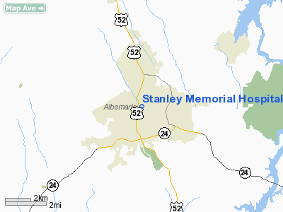
| From nearest city: | 0 nautical miles N of Albemarle, NC |
| Location: | Stanly County, NC |
| Magnetic Variation: | 06W () |
Owner & Manager
| Ownership: | Privately owned |
| Owner: | Stanley Memorial Hospital |
| Address: | Po Box 1489
Albemarle, NC 28001-1489 |
| Phone number: | 704-984-4000 |
| Manager: | Dale Burris
DIRECTOR OF PLANT SERVICES. |
| Address: | 301 Yadkin Street
Albemarle, NC 28001 |
| Phone number: | 704-984-4337 |
Airport Operations and Facilities
| Airport Use: | Private |
| Wind indicator: | Yes |
| Segmented Circle: | No |
| Control Tower: | No |
| Sectional chart: | Charlotte |
| Region: | ASO - Southern |
| Boundary ARTCC: | ZTL - Atlanta |
| Tie-in FSS: | RDU - Raleigh |
| FSS Toll Free: | 1-800-WX-BRIEF |
Runway Information
Helipad H1
| Dimension: | 40 x 40 ft / 12.2 x 12.2 m |
| Surface: | CONC, |
| |
Runway H1 |
Runway |
| Traffic Pattern: | Left | Left |
|
Radio Navigation Aids
| ID |
Type |
Name |
Ch |
Freq |
Var |
Dist |
| VU | NDB | Aller | | 346.00 | 06W | 9.4 nm |
| AFP | NDB | Anson County | | 283.00 | 07W | 21.1 nm |
| SEN | NDB | Swearing/dcmsnd | | 260.00 | 06W | 25.6 nm |
| RU | NDB | Rovdy | | 275.00 | 06W | 26.5 nm |
| CQJ | NDB | City Lake | | 266.00 | 08W | 26.6 nm |
| TWL | NDB | Wesley | | 204.00 | 06W | 35.2 nm |
| DVZ | NDB | Davie | | 354.00 | 06W | 35.4 nm |
| PYG | NDB | Pageland | | 270.00 | 06W | 37.8 nm |
| RCZ | NDB | Roscoe | | 375.00 | 07W | 39.4 nm |
| HFF | NDB | Mackall | | 278.00 | 06W | 40.2 nm |
| CQW | NDB | Cheraw | | 409.00 | 05W | 40.7 nm |
| TOX | NDB | Siler City | | 371.00 | 07W | 43.1 nm |
| IZN | NDB | Lincolnton | | 432.00 | 06W | 44.9 nm |
| HB | NDB | Himun | | 361.00 | 08W | 47.5 nm |
| EEJ | NDB | Lee County/dcmsnd | | 428.00 | 07W | 47.6 nm |
| GHJ | NDB | Stonia | | 260.00 | 06W | 48.3 nm |
| VW | NDB | Temky | | 280.00 | 05W | 49.2 nm |
| CLT | VOR/DME | Charlotte | 097X | 115.00 | 05W | 38.6 nm |
| CTF | VOR/DME | Chesterfield | 019X | 108.20 | 03W | 43.0 nm |
| SDZ | VORTAC | Sandhills | 055X | 111.80 | 03W | 31.1 nm |
| LIB | VORTAC | Liberty | 077X | 113.00 | 03W | 39.2 nm |
| GSO | VORTAC | Greensboro | 109X | 116.20 | 03W | 42.4 nm |
| FML | VORTAC | Fort Mill | 071X | 112.40 | 02W | 43.6 nm |
| CLT | VOT | Charlotte | | 112.00 | | 37.5 nm |
Remarks
- SEE AIRSPACE CASE 97-ATL-061-NRA.
Images and information placed above are from
http://www.airport-data.com/airport/9NC1/
We thank them for the data!
| General Info
|
| Country |
United States
|
| State |
NORTH CAROLINA
|
| FAA ID |
9NC1
|
| Latitude |
35-21-48.000N
|
| Longitude |
080-11-41.000W
|
| Elevation |
650 feet
|
| Near City |
ALBEMARLE
|
We don't guarantee the information is fresh and accurate. The data may
be wrong or outdated.
For more up-to-date information please refer to other sources.
|
|