|
|
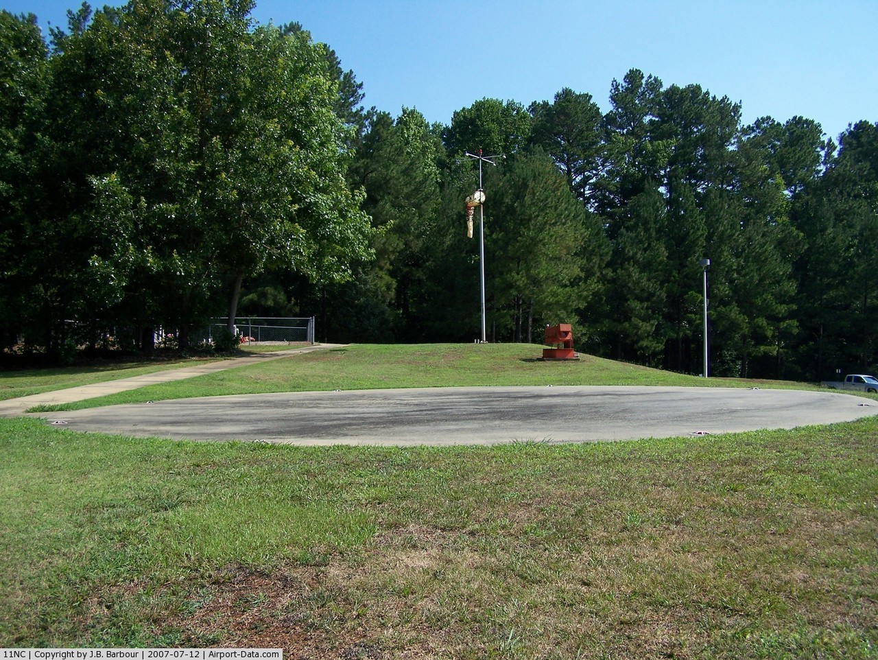
Sprint/midatlantic Telecom Heliport |

 |
(Click on the photo to enlarge) |
Location & QuickFacts
| FAA Information Effective: | 2008-09-25 |
| Airport Identifier: | 11NC |
| Airport Status: | Operational |
| Longitude/Latitude: | 078-31-08.0020W/36-01-17.5420N
-78.518889/36.021539 (Estimated) |
| Elevation: | 427 ft / 130.15 m (Estimated) |
| Land: | 0 acres |
| From nearest city: | 2 nautical miles SW of Youngsville, NC |
| Location: | Franklin County, NC |
| Magnetic Variation: | 08W (1990) |
Owner & Manager
| Ownership: | Privately owned |
| Owner: | Sprint/midatlantic Telecom |
| Address: | 14111 Capital Blvd
Wake Forest, NC 27587-5900 |
| Phone number: | 919-554-5363 |
| Manager: | Ronald D. Hardin |
| Address: | 14111 Capital Blvd
Wake Forest, NC 27587-5900 |
| Phone number: | 919-554-5365 |
Airport Operations and Facilities
| Airport Use: | Private |
| Wind indicator: | Yes |
| Segmented Circle: | No |
| Control Tower: | No |
| Lighting Schedule: | PHONE REQ
FOR PERIMETER LGTS & HELIPLASI CALL 919-554-5365. |
| Sectional chart: | Washington |
| Region: | ASO - Southern |
| Boundary ARTCC: | ZDC - Washington |
| Tie-in FSS: | RDU - Raleigh |
| FSS on Airport: | No |
| FSS Toll Free: | 1-800-WX-BRIEF |
Runway Information
Helipad H1
| Dimension: | 40 x 40 ft / 12.2 x 12.2 m |
| Surface: | CONC, |
| |
Runway H1 |
Runway |
| Traffic Pattern: | Left | Left |
|
Radio Navigation Aids
| ID |
Type |
Name |
Ch |
Freq |
Var |
Dist |
| LE | NDB | Leevy | | 350.00 | 07W | 11.4 nm |
| HXO | NDB | Huntsboro | | 271.00 | 07W | 17.4 nm |
| EUU | NDB | Jnall | | 251.00 | 07W | 26.2 nm |
| HUR | NDB | Person | | 220.00 | 08W | 29.4 nm |
| RW | NDB | Jambe | | 235.00 | 09W | 31.0 nm |
| JN | NDB | Jurly | | 263.00 | 09W | 33.2 nm |
| HQT | NDB | Harnett | | 417.00 | 08W | 36.2 nm |
| AEA | NDB | Jones | | 373.00 | 09W | 42.2 nm |
| JYN | NDB | Wayne | | 208.00 | 08W | 42.4 nm |
| TT | NDB | Leeco | | 406.00 | 08W | 43.7 nm |
| MBV | NDB | Mecklenburg/dcmsnd | | 356.00 | 08W | 46.1 nm |
| RZZ | NDB | Rapids | | 407.00 | 08W | 46.7 nm |
| ETC | NDB | Tarboro | | 257.00 | 08W | 47.6 nm |
| TOX | NDB | Siler City | | 371.00 | 07W | 48.5 nm |
| GSB | TACAN | Seymour Johnson | 112X | | 08W | 49.2 nm |
| RDU | VORTAC | Raleigh/durham | 119X | 117.20 | 04W | 15.7 nm |
| TYI | VORTAC | Tar River | 125X | 117.80 | 05W | 39.7 nm |
| SBV | VORTAC | South Boston | 041X | 110.40 | 05W | 46.0 nm |
Remarks
- HELIPORT HAS A HELIPLASI.
- PRVDD VFR/PR USE; ALL APCH/DEP OPNS ARE FROM 070-100 DEG AND FROM 245-275 DEG; AREA APPROPRIATELY MKD; A WIND INDICATOR IS MNTND.
Images and information placed above are from
http://www.airport-data.com/airport/11NC/
We thank them for the data!
| General Info
|
| Country |
United States
|
| State |
NORTH CAROLINA
|
| FAA ID |
11NC
|
| Latitude |
36-01-17.542N
|
| Longitude |
078-31-08.002W
|
| Elevation |
427 feet
|
| Near City |
YOUNGSVILLE
|
We don't guarantee the information is fresh and accurate. The data may
be wrong or outdated.
For more up-to-date information please refer to other sources.
|
|