|
|
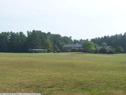 |
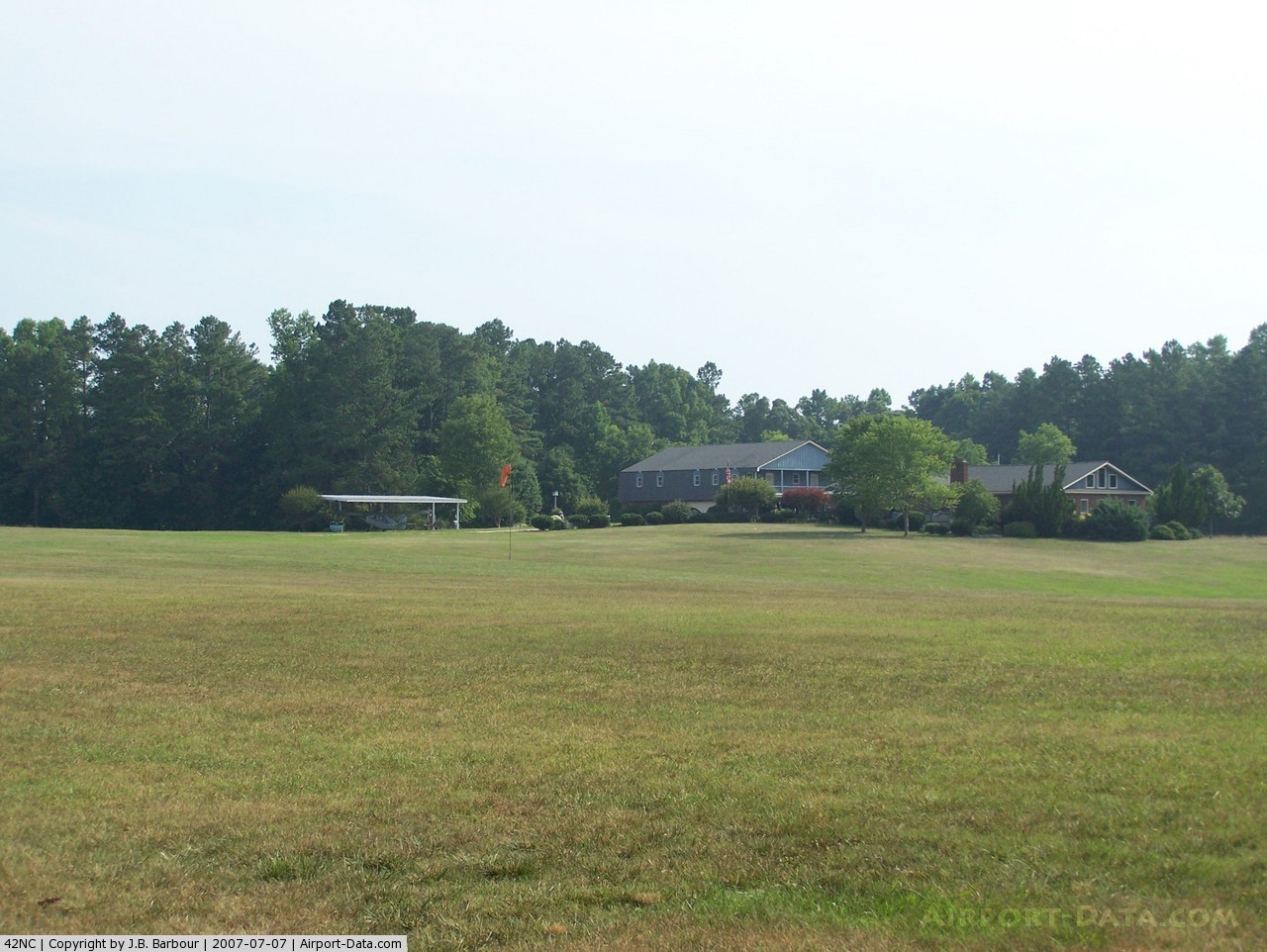
(Click on the photo to enlarge) |
Location & QuickFacts
| FAA Information Effective: | 2008-09-25 |
| Airport Identifier: | 42NC |
| Airport Status: | Operational |
| Longitude/Latitude: | 078-10-14.0000W/35-57-28.0000N
-78.170556/35.957778 (Estimated) |
| Elevation: | 290 ft / 88.39 m (Estimated) |
| Land: | 150 acres |
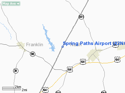
| From nearest city: | 4 nautical miles W of Spring Hope, NC |
| Location: | Franklin County, NC |
| Magnetic Variation: | 08W (1995) |
Owner & Manager
| Ownership: | Privately owned |
| Owner: | Stanley D. James |
| Address: | 383 Thomas Gay Road
Spring Hope, NC 27882 |
| Phone number: | 252-478-4567 |
| Manager: | Stanley D. James |
| Address: | 383 Thomas Gay Road
Spring Hope, NC 27882 |
| Phone number: | 252-478-4567 |
Airport Operations and Facilities
| Airport Use: | Private |
| Wind indicator: | Yes |
| Segmented Circle: | No |
| Control Tower: | No |
| Sectional chart: | Charlotte |
| Region: | ASO - Southern |
| Boundary ARTCC: | ZDC - Washington |
| Tie-in FSS: | RDU - Raleigh |
| FSS Toll Free: | 1-800-WX-BRIEF |
Airport Services
Runway Information
Runway 17/35
| Dimension: | 1200 x 50 ft / 365.8 x 15.2 m |
| Surface: | TURF, |
| |
Runway 17 |
Runway 35 |
| Traffic Pattern: | Left | Left |
|
Radio Navigation Aids
| ID |
Type |
Name |
Ch |
Freq |
Var |
Dist |
| PGV | FAN MARKER | Belvoir | | | 06W | 42.9 nm |
| RW | NDB | Jambe | | 235.00 | 09W | 15.2 nm |
| EUU | NDB | Jnall | | 251.00 | 07W | 22.9 nm |
| LE | NDB | Leevy | | 350.00 | 07W | 26.9 nm |
| JYN | NDB | Wayne | | 208.00 | 08W | 29.1 nm |
| HXO | NDB | Huntsboro | | 271.00 | 07W | 30.0 nm |
| ETC | NDB | Tarboro | | 257.00 | 08W | 30.4 nm |
| JN | NDB | Jurly | | 263.00 | 09W | 31.6 nm |
| RZZ | NDB | Rapids | | 407.00 | 08W | 36.7 nm |
| AEA | NDB | Jones | | 373.00 | 09W | 39.9 nm |
| HQT | NDB | Harnett | | 417.00 | 08W | 40.0 nm |
| AQE | NDB | Alwood | | 230.00 | 09W | 41.7 nm |
| MBV | NDB | Mecklenburg/dcmsnd | | 356.00 | 08W | 44.5 nm |
| HUR | NDB | Person | | 220.00 | 08W | 46.5 nm |
| MCZ | NDB | Williamston | | 336.00 | 09W | 48.7 nm |
| GSB | TACAN | Seymour Johnson | 112X | | 08W | 38.7 nm |
| TYI | VORTAC | Tar River | 125X | 117.80 | 05W | 22.7 nm |
| RDU | VORTAC | Raleigh/durham | 119X | 117.20 | 04W | 30.3 nm |
| ISO | VORTAC | Kinston | 033X | 109.60 | 05W | 46.2 nm |
Remarks
- 60 FT TREES 100 FT EAST & WEST OF RY.
- PRVDD VFR/PVT USE, YOU ARE AWARE OF MILITARY TRAINING ROUTES IN AREA.
Images and information placed above are from
http://www.airport-data.com/airport/42NC/
We thank them for the data!
| General Info
|
| Country |
United States
|
| State |
NORTH CAROLINA
|
| FAA ID |
42NC
|
| Latitude |
35-57-28.000N
|
| Longitude |
078-10-14.000W
|
| Elevation |
290 feet
|
| Near City |
SPRING HOPE
|
We don't guarantee the information is fresh and accurate. The data may
be wrong or outdated.
For more up-to-date information please refer to other sources.
|
|