|
|
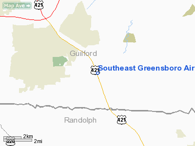
Southeast Greensboro Airport |
 |
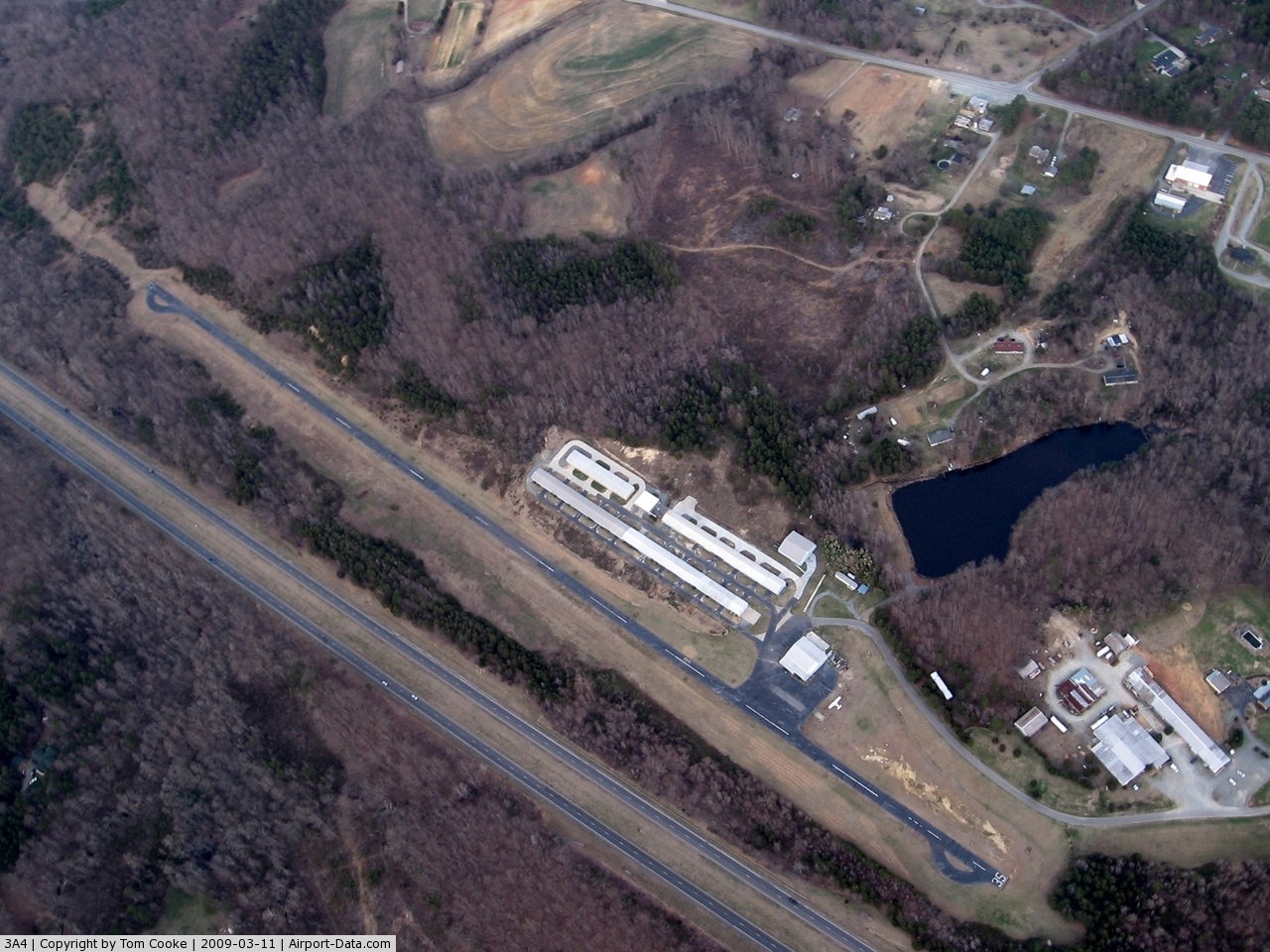
(Click on the photo to enlarge) |
 |
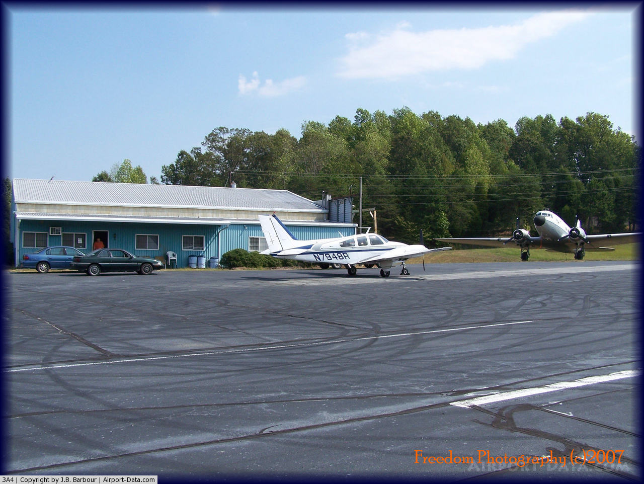
(Click on the photo to enlarge) |
 |
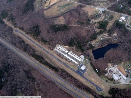
(Click on the photo to enlarge) |
Location & QuickFacts
| FAA Information Effective: | 2008-09-25 |
| Airport Identifier: | 3A4 |
| Airport Status: | Operational |
| Longitude/Latitude: | 079-41-07.8810W/35-56-31.1290N
-79.685523/35.941980 (Estimated) |
| Elevation: | 737 ft / 224.64 m (Estimated) |
| Land: | 70 acres |
| From nearest city: | 8 nautical miles SE of Greensboro, NC |
| Location: | Guilford County, NC |
| Magnetic Variation: | 06W (1985) |
Owner & Manager
| Ownership: | Privately owned |
| Owner: | Jennifer Ward And Andrew Williams |
| Address: | 6328 Monnett Rd
Climax, NC 27233-0007 |
| Phone number: | 336-676-1636 |
| Manager: | Edward Rucinski |
| Address: | 5816 Liberty Road
Climax, NC 27233-8088 |
| Phone number: | 336-420-3776
FAX NR- 336-674-9943 |
Airport Operations and Facilities
| Airport Use: | Open to public |
| Wind indicator: | Yes |
| Segmented Circle: | No |
| Control Tower: | No |
| Lighting Schedule: | DUSK-DAWN |
| Landing fee charge: | No |
| Sectional chart: | Charlotte |
| Region: | ASO - Southern |
| Boundary ARTCC: | ZDC - Washington |
| Responsible ARTCC: | ZTL - Atlanta |
| Tie-in FSS: | RDU - Raleigh |
| FSS on Airport: | No |
| FSS Toll Free: | 1-800-WX-BRIEF |
| NOTAMs Facility: | RDU (NOTAM-d service avaliable) |
Airport Communications
| CTAF: | 122.800 |
| Unicom: | 122.800 |
Airport Services
| Airframe Repair: | MAJOR |
| Power Plant Repair: | MAJOR |
| Bottled Oxygen: | NONE |
| Bulk Oxygen: | NONE |
Runway Information
Runway 17/35
| Dimension: | 3063 x 30 ft / 933.6 x 9.1 m |
| Surface: | ASPH, Good Condition |
| Weight Limit: | Single wheel: 8000 lbs. |
| Edge Lights: | Medium
RY 17/35 LIGHTS OTS INDEFLY. |
| |
Runway 17 |
Runway 35 |
| Traffic Pattern: | Left | Left |
| Markings: | Nonstandard, Fair Condition
RY 17 NRS UNDERSIZED. | Nonstandard, Fair Condition
RY 35 NRS UNDERSIZED. |
| Obstruction: | 21 ft trees, 227.0 ft from runway, 73 ft right of centerline, 1:1 slope to clear
NMRS 20+ FT TREES 50-100 FT FM THLD, 50 FT LEFT. 5+ FT TREES 18 FT FM THLD, 25 FT RIGHT OF CNTRLN. | 30 ft trees, 200.0 ft from runway
30+ FT TREES 100 FT FM THLD, 16 FT RIGHT OF CNTRLN. NMRS 30+ FT TREES 200 FT FM THLD BOTH SIDES OF CNTRLN. |
|
Radio Navigation Aids
| ID |
Type |
Name |
Ch |
Freq |
Var |
Dist |
| OQA | FAN MARKER | Rockingham County | | | | 30.0 nm |
| HB | NDB | Himun | | 361.00 | 08W | 5.4 nm |
| TOX | NDB | Siler City | | 371.00 | 07W | 15.4 nm |
| CQJ | NDB | City Lake | | 266.00 | 08W | 16.2 nm |
| SIF | NDB | Slammer | | 423.00 | 07W | 26.7 nm |
| SEN | NDB | Swearing/dcmsnd | | 260.00 | 06W | 31.4 nm |
| VU | NDB | Aller | | 346.00 | 06W | 33.4 nm |
| HUR | NDB | Person | | 220.00 | 08W | 34.8 nm |
| DVZ | NDB | Davie | | 354.00 | 06W | 37.5 nm |
| TT | NDB | Leeco | | 406.00 | 08W | 37.7 nm |
| UV | NDB | Bales | | 396.00 | 07W | 40.5 nm |
| EEJ | NDB | Lee County/dcmsnd | | 428.00 | 07W | 41.0 nm |
| RU | NDB | Rovdy | | 275.00 | 06W | 41.1 nm |
| LE | NDB | Leevy | | 350.00 | 07W | 46.9 nm |
| AZW | NDB | Mount Airy | | 223.00 | 07W | 49.2 nm |
| DAN | VOR | Danville | | 113.10 | 06W | 41.3 nm |
| LIB | VORTAC | Liberty | 077X | 113.00 | 03W | 8.6 nm |
| GSO | VORTAC | Greensboro | 109X | 116.20 | 03W | 15.5 nm |
| SDZ | VORTAC | Sandhills | 055X | 111.80 | 03W | 43.9 nm |
| RDU | VORTAC | Raleigh/durham | 119X | 117.20 | 04W | 44.1 nm |
Remarks
- RWY 17 UPHILL LNDG PREFERRED.
- NMRS +40' TREES IN THE APCHS & ALONG THE SIDES OF THE RY; NMRS +15' TREES IN THE PRIM SFC.
- EMERG CTC NR 336-420-3776.
Images and information placed above are from
http://www.airport-data.com/airport/3A4/
We thank them for the data!
| General Info
|
| Country |
United States
|
| State |
NORTH CAROLINA
|
| FAA ID |
3A4
|
| Latitude |
35-56-31.129N
|
| Longitude |
079-41-07.881W
|
| Elevation |
737 feet
|
| Near City |
GREENSBORO
|
We don't guarantee the information is fresh and accurate. The data may
be wrong or outdated.
For more up-to-date information please refer to other sources.
|
|