|
|
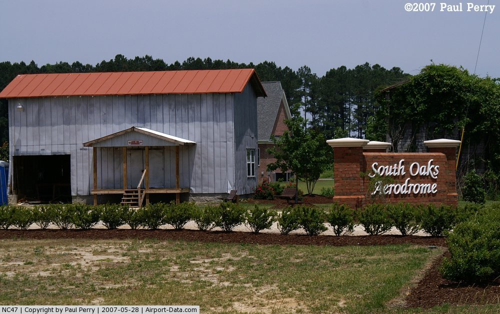
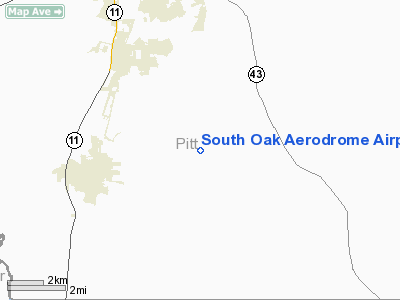
South Oak Aerodrome Airport |
 |
(Click on the photo to enlarge) |
 |
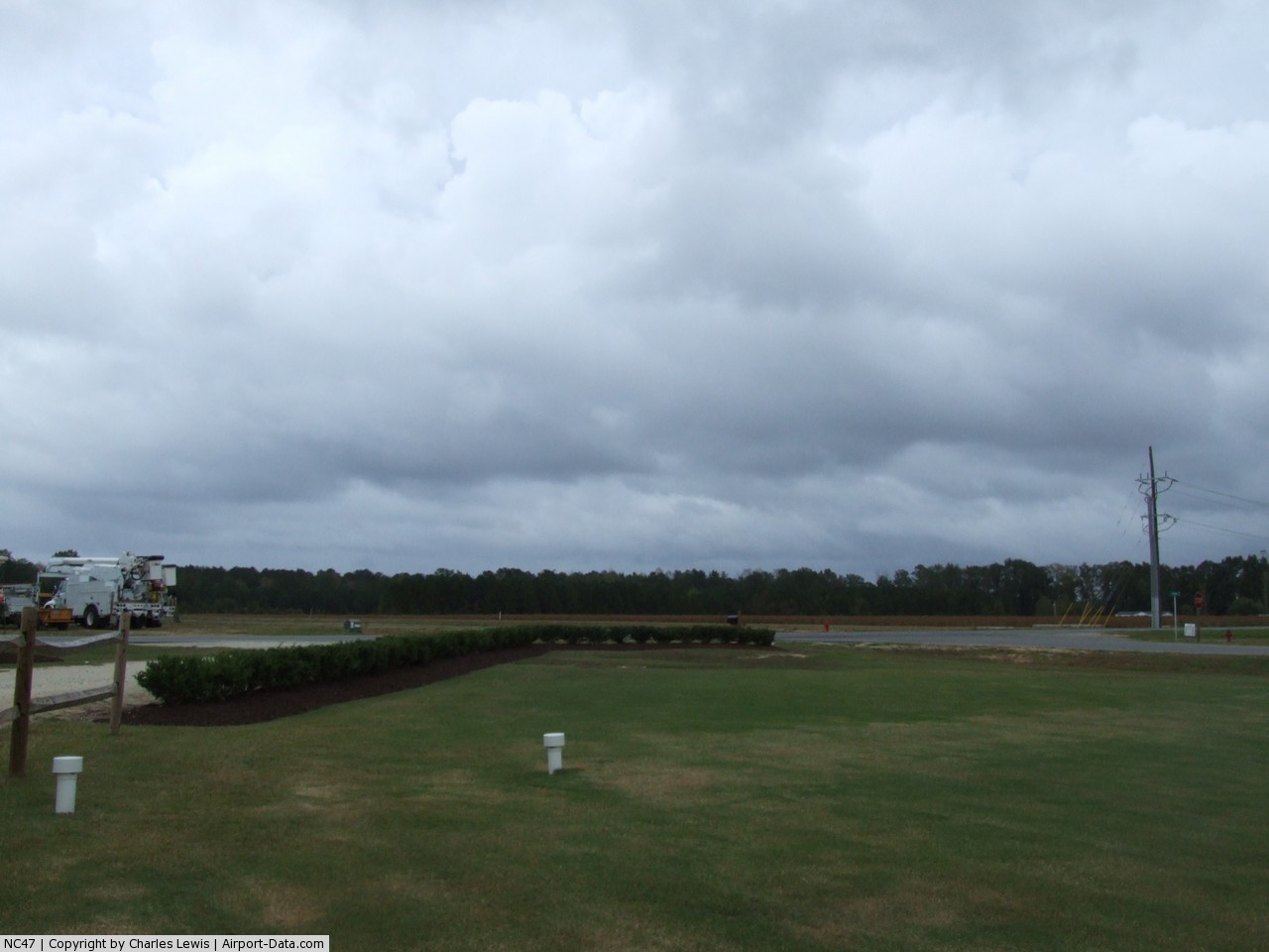
(Click on the photo to enlarge) |
Location & QuickFacts
| FAA Information Effective: | 2008-09-25 |
| Airport Identifier: | NC47 |
| Airport Status: | Operational |
| Longitude/Latitude: | 077-21-12.0000W/35-28-58.0000N
-77.353333/35.482778 (Estimated) |
| Elevation: | 50 ft / 15.24 m (Estimated) |
| Land: | 0 acres |
| From nearest city: | 5 nautical miles SE of Winterville, NC |
| Location: | Pitt County, NC |
| Magnetic Variation: | () |
Owner & Manager
| Ownership: | Privately owned |
| Owner: | Charles A. Lewis Jr |
| Address: | 5245 County Home Road
Winterville, NC 28590 |
| Phone number: | 252-714-0514
EXT 206. |
| Manager: | Charles A. Lewis Jr |
| Address: | 5245 County Home Road
Winterville, NC 28590 |
| Phone number: | 252-714-0514
EXT 206. |
Airport Operations and Facilities
| Airport Use: | Private |
| Control Tower: | No |
| Sectional chart: | Charlotte |
| Region: | ASO - Southern |
| Boundary ARTCC: | ZDC - Washington |
| Tie-in FSS: | RDU - Raleigh |
| FSS Toll Free: | 1-800-WX-BRIEF |
Runway Information
Runway 07/25
| Dimension: | 1850 x 50 ft / 563.9 x 15.2 m |
| Surface: | TURF, |
| |
Runway 07 |
Runway 25 |
| Traffic Pattern: | Left | Left |
|
Radio Navigation Aids
| ID |
Type |
Name |
Ch |
Freq |
Var |
Dist |
| PGV | FAN MARKER | Belvoir | | | 06W | 9.6 nm |
| RNW | NDB | Chocowinity | | 388.00 | 07W | 12.2 nm |
| AQE | NDB | Alwood | | 230.00 | 09W | 13.5 nm |
| MCZ | NDB | Williamston | | 336.00 | 09W | 24.2 nm |
| JYN | NDB | Wayne | | 208.00 | 08W | 26.9 nm |
| ETC | NDB | Tarboro | | 257.00 | 08W | 28.8 nm |
| RW | NDB | Jambe | | 235.00 | 09W | 34.4 nm |
| PMZ | NDB | Plymouth | | 221.00 | 10W | 34.9 nm |
| DKA | NDB | Kenan | | 332.00 | 07W | 37.1 nm |
| NCA | NDB | New River | | 356.00 | 08W | 45.9 nm |
| EUU | NDB | Jnall | | 251.00 | 07W | 49.5 nm |
| ASJ | NDB | Ahoskie | | 415.00 | 10W | 49.8 nm |
| GSB | TACAN | Seymour Johnson | 112X | | 08W | 31.6 nm |
| NKT | TACAN | Cherry Point | 075X | | 09W | 42.1 nm |
| NCA | TACAN | New River | 101X | | 08W | 46.8 nm |
| EWN | VOR/DME | New Bern | 083X | 113.60 | 08W | 28.9 nm |
| ISO | VORTAC | Kinston | 033X | 109.60 | 05W | 12.1 nm |
| TYI | VORTAC | Tar River | 125X | 117.80 | 05W | 34.3 nm |
Remarks
- PRVDD VFR OPNS AND PRVT USE.
Images and information placed above are from
http://www.airport-data.com/airport/NC47/
We thank them for the data!
| General Info
|
| Country |
United States
|
| State |
NORTH CAROLINA
|
| FAA ID |
NC47
|
| Latitude |
35-09-43.519N
|
| Longitude |
080-49-14.256W
|
| Elevation |
700 feet
|
| Near City |
CHARLOTTE
|
We don't guarantee the information is fresh and accurate. The data may
be wrong or outdated.
For more up-to-date information please refer to other sources.
|
|