|
|
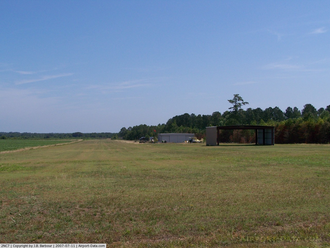
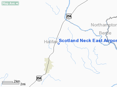
Scotland Neck East Airport |
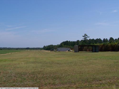 |
(Click on the photo to enlarge) |
Location & QuickFacts
| FAA Information Effective: | 2008-09-25 |
| Airport Identifier: | 2NC7 |
| Airport Status: | Operational |
| Longitude/Latitude: | 077-23-55.8900W/36-10-04.5600N
-77.398858/36.167933 (Estimated) |
| Elevation: | 103 ft / 31.39 m (Estimated) |
| Land: | 32 acres |
| From nearest city: | 2 nautical miles NE of Scotland Neck, NC |
| Location: | Halifax County, NC |
| Magnetic Variation: | 08W (1985) |
Owner & Manager
| Ownership: | Privately owned |
| Owner: | Robert A. Bell |
| Address: | Box 296
Scotland Neck, NC 27874 |
| Phone number: | 252-826-5164 |
| Manager: | Robert A. Bell |
| Address: | Box 296
Scotland Neck, NC 27874 |
| Phone number: | 252-826-4210 |
Airport Operations and Facilities
| Airport Use: | Private |
| Wind indicator: | Yes |
| Segmented Circle: | No |
| Control Tower: | No |
| Sectional chart: | Charlotte |
| Region: | ASO - Southern |
| Boundary ARTCC: | ZDC - Washington |
| Tie-in FSS: | RDU - Raleigh |
| FSS on Airport: | No |
| FSS Toll Free: | 1-800-WX-BRIEF |
Airport Services
Runway Information
Runway 18/36
| Dimension: | 3000 x 100 ft / 914.4 x 30.5 m |
| Surface: | TURF, |
| |
Runway 18 |
Runway 36 |
| Traffic Pattern: | Left | Left |
| Displaced threshold: | 0.00 ft | 500.00 ft |
|
Radio Navigation Aids
| ID |
Type |
Name |
Ch |
Freq |
Var |
Dist |
| PGV | FAN MARKER | Belvoir | | | 06W | 31.7 nm |
| ASJ | NDB | Ahoskie | | 415.00 | 10W | 13.4 nm |
| ETC | NDB | Tarboro | | 257.00 | 08W | 15.7 nm |
| MCZ | NDB | Williamston | | 336.00 | 09W | 21.4 nm |
| RZZ | NDB | Rapids | | 407.00 | 08W | 22.2 nm |
| ELQ | NDB | Emporia | | 261.00 | 10W | 27.1 nm |
| AQE | NDB | Alwood | | 230.00 | 09W | 27.7 nm |
| RW | NDB | Jambe | | 235.00 | 09W | 36.6 nm |
| PMZ | NDB | Plymouth | | 221.00 | 10W | 37.7 nm |
| EDE | NDB | Edenton | | 265.00 | 10W | 41.3 nm |
| AEA | NDB | Jones | | 373.00 | 09W | 41.5 nm |
| RNW | NDB | Chocowinity | | 388.00 | 07W | 42.1 nm |
| RK | NDB | Waley | | 249.00 | 10W | 44.6 nm |
| MBV | NDB | Mecklenburg/dcmsnd | | 356.00 | 08W | 44.8 nm |
| JYN | NDB | Wayne | | 208.00 | 08W | 45.7 nm |
| TYI | VORTAC | Tar River | 125X | 117.80 | 05W | 18.7 nm |
| CVI | VORTAC | Cofield | 093X | 114.60 | 09W | 28.4 nm |
| FKN | VORTAC | Franklin | 043X | 110.60 | 09W | 37.8 nm |
| LVL | VORTAC | Lawrenceville | 076X | 112.90 | 08W | 46.0 nm |
| ISO | VORTAC | Kinston | 033X | 109.60 | 05W | 48.5 nm |
Remarks
Images and information placed above are from
http://www.airport-data.com/airport/2NC7/
We thank them for the data!
| General Info
|
| Country |
United States
|
| State |
NORTH CAROLINA
|
| FAA ID |
2NC7
|
| Latitude |
36-10-04.560N
|
| Longitude |
077-23-55.890W
|
| Elevation |
103 feet
|
| Near City |
SCOTLAND NECK
|
We don't guarantee the information is fresh and accurate. The data may
be wrong or outdated.
For more up-to-date information please refer to other sources.
|
|