|
|
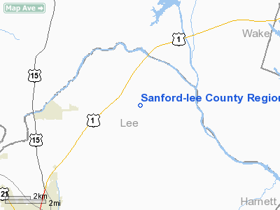
Sanford-lee County Rgnl Airport |
| Raleigh Executive Jetport |
| IATA: none – ICAO: KTTA – FAA LID: TTA |
| Summary |
| Airport type |
Public |
| Operator |
Sanford-Lee County Regional Airport Authority |
| Location |
Sanford, North Carolina |
| Elevation AMSL |
247 ft / 75.3 m |
| Coordinates |
35°35′01″N 79°06′03″W / 35.58361°N 79.10083°W / 35.58361; -79.10083Coordinates: 35°35′01″N 79°06′03″W / 35.58361°N 79.10083°W / 35.58361; -79.10083 |
| Runways |
| Direction |
Length |
Surface |
| ft |
m |
| 3/21 |
6,500 |
1,981 |
Asphalt |
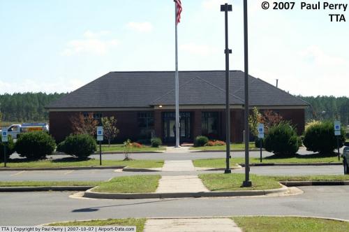
Raleigh Executive Jetport (formerly the Sanford-Lee County Regional Airport) (ICAO: KTTA, FAA LID: TTA) is a public airport located seven miles (11 km) northeast of the central business district (CBD) of Sanford, a city in Lee County, North Carolina, USA. This general aviation airport has one runway.
Although most U.S. airports use the same three-letter location identifier for the FAA and IATA, Raleigh Executive Jetport is assigned TTA by the FAA but has no designation from the IATA (which assigned TTA to Plage Blanche Airport in Tan-Tan, Morocco). The airport's ICAO identifier is KTTA.
The above content comes from Wikipedia and is published under free licenses – click here to read more.
 |
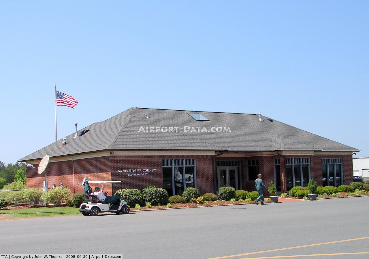
(Click on the photo to enlarge) |
 |
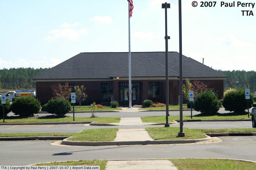
(Click on the photo to enlarge) |
 |
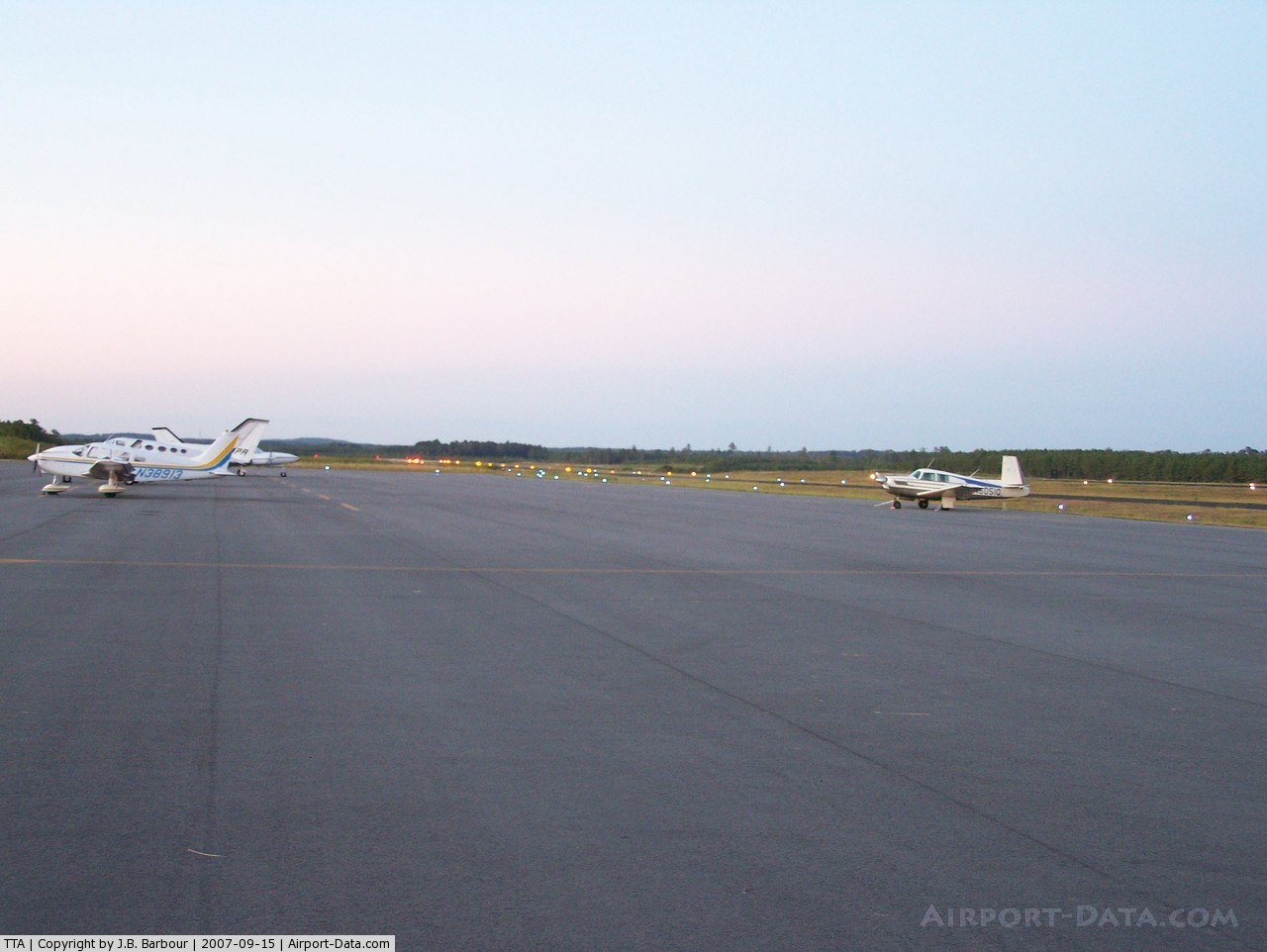
(Click on the photo to enlarge) |
 |
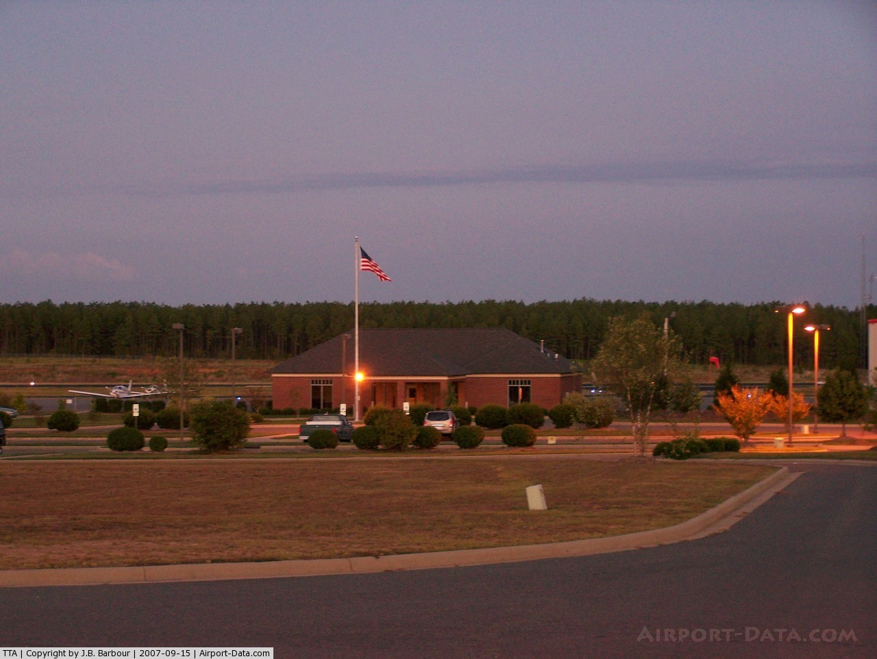
(Click on the photo to enlarge) |
Location & QuickFacts
| FAA Information Effective: | 2008-09-25 |
| Airport Identifier: | TTA |
| Airport Status: | Operational |
| Longitude/Latitude: | 079-06-02.7560W/35-35-01.4620N
-79.100766/35.583739 (Estimated) |
| Elevation: | 247 ft / 75.29 m (Surveyed) |
| Land: | 700 acres |
| From nearest city: | 7 nautical miles NE of Sanford, NC |
| Location: | Lee County, NC |
| Magnetic Variation: | 08W (2000) |
Owner & Manager
| Ownership: | Publicly owned |
| Owner: | Sanford-lee County Rgnl Arpt Auth |
| Address: | 700 Rod Sullivan Rd
Sanford, NC 27330 |
| Phone number: | 919-776-2939 |
| Manager: | Dan Swanson |
| Address: | 700 Rod Sullivan Rd
Sanford, NC 27330 |
| Phone number: | 919-776-2939 |
Airport Operations and Facilities
| Airport Use: | Open to public |
| Wind indicator: | Yes |
| Segmented Circle: | Yes |
| Control Tower: | No |
| Lighting Schedule: | DUSK-DAWN
ACTVT HIRL RY 3/21 - CTAF; PAPI RYS 03 & 21 ON 24 HRS. |
| Beacon Color: | Clear-Green (lighted land airport) |
| Sectional chart: | Charlotte |
| Region: | ASO - Southern |
| Boundary ARTCC: | ZDC - Washington |
| Tie-in FSS: | RDU - Raleigh |
| FSS Toll Free: | 1-800-WX-BRIEF |
| NOTAMs Facility: | TTA (NOTAM-d service avaliable) |
| Federal Agreements: | NGHY |
Airport Communications
| CTAF: | 123.075 |
| Unicom: | 123.075 |
Airport Services
| Fuel available: | 100LLA+ |
| Airframe Repair: | MAJOR |
| Power Plant Repair: | MAJOR |
| Bottled Oxygen: | HIGH |
Runway Information
Runway 03/21
| Dimension: | 6500 x 100 ft / 1981.2 x 30.5 m |
| Surface: | ASPH, Good Condition |
| Weight Limit: | Single wheel: 30000 lbs.
Dual wheel: 60000 lbs. |
| Edge Lights: | High |
| |
Runway 03 |
Runway 21 |
| Longitude: | 079-06-18.9000W | 079-05-50.9000W |
| Latitude: | 35-34-26.8000N | 35-35-26.9000N |
| Elevation: | 246.00 ft | 230.00 ft |
| Alignment: | 21 | 127 |
| ILS Type: | ILS/DME
| |
| Traffic Pattern: | Left | Left |
| Markings: | Precision instrument, Fair Condition | Precision instrument, Fair Condition |
| Crossing Height: | 45.00 ft | 45.00 ft |
| VASI: | 4-light PAPI on left side | 4-light PAPI on left side |
| Visual Glide Angle: | 3.00° | 3.00° |
| Approach lights: | MALSR | |
| Runway End Identifier: | No | Yes |
|
Radio Navigation Aids
| ID |
Type |
Name |
Ch |
Freq |
Var |
Dist |
| TT | NDB | Leeco | | 406.00 | 08W | 5.5 nm |
| EEJ | NDB | Lee County/dcmsnd | | 428.00 | 07W | 14.0 nm |
| TOX | NDB | Siler City | | 371.00 | 07W | 20.6 nm |
| POB | NDB | Pope | | 338.00 | 07W | 22.6 nm |
| HQT | NDB | Harnett | | 417.00 | 08W | 22.7 nm |
| LE | NDB | Leevy | | 350.00 | 07W | 27.7 nm |
| FGP | NDB | Fort Bragg | | 393.00 | 07W | 30.2 nm |
| HB | NDB | Himun | | 361.00 | 08W | 33.5 nm |
| JN | NDB | Jurly | | 263.00 | 09W | 33.7 nm |
| EUU | NDB | Jnall | | 251.00 | 07W | 36.5 nm |
| CQJ | NDB | City Lake | | 266.00 | 08W | 38.2 nm |
| HFF | NDB | Mackall | | 278.00 | 06W | 38.4 nm |
| HUR | NDB | Person | | 220.00 | 08W | 39.1 nm |
| VU | NDB | Aller | | 346.00 | 06W | 48.3 nm |
| HXO | NDB | Huntsboro | | 271.00 | 07W | 49.1 nm |
| POB | TACAN | Pope | 085X | | 07W | 25.8 nm |
| FAY | VOR/DME | Fayetteville | 025X | 108.80 | 04W | 37.6 nm |
| RDU | VORTAC | Raleigh/durham | 119X | 117.20 | 04W | 23.3 nm |
| LIB | VORTAC | Liberty | 077X | 113.00 | 03W | 28.5 nm |
| SDZ | VORTAC | Sandhills | 055X | 111.80 | 03W | 32.6 nm |
Remarks
- GCO AVBL ON FREQ 135.075 THRU RDU CLEARANCE DELIVERY.
Images and information placed above are from
http://www.airport-data.com/airport/TTA/
We thank them for the data!
| General Info
|
| Country |
United States
|
| State |
NORTH CAROLINA
|
| FAA ID |
TTA
|
| Latitude |
35-35-01.462N
|
| Longitude |
079-06-02.756W
|
| Elevation |
247 feet
|
| Near City |
SANFORD
|
We don't guarantee the information is fresh and accurate. The data may
be wrong or outdated.
For more up-to-date information please refer to other sources.
|
|