|
|
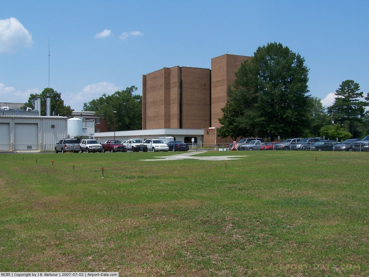
Sampson Rgnl Medical Center Heliport |
 |
(Click on the photo to enlarge) |
Location & QuickFacts
| FAA Information Effective: | 2008-09-25 |
| Airport Identifier: | NC85 |
| Airport Status: | Operational |
| Longitude/Latitude: | 078-19-08.9960W/35-00-30.6020N
-78.319166/35.008501 (Estimated) |
| Elevation: | 159 ft / 48.46 m (Estimated) |
| Land: | 0 acres |
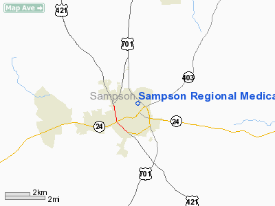
| From nearest city: | 2 nautical miles SW of Clinton, NC |
| Location: | Sampson County, NC |
| Magnetic Variation: | 07W (1985) |
Owner & Manager
| Ownership: | Publicly owned |
| Owner: | Sampson County |
| Address: | 607 Beaman Street
Clinton, NC 28328-2603 |
| Phone number: | 910-592-8511 |
| Manager: | James R. Alderman |
| Address: | 607 Beaman Street
Clinton, NC 28328-2603 |
| Phone number: | 910-590-8904 |
Airport Operations and Facilities
| Airport Use: | Private
MEDICAL. |
| Wind indicator: | Yes |
| Segmented Circle: | Yes |
| Control Tower: | No |
| Lighting Schedule: | PHONE REQ
FOR STROBE LGTS & PERIMETER LGTS CALL 910-592-8511 AND ASK FOR SECURITY. |
| Beacon Color: | Clear (unlighted land airport)
STROBE LGTS. |
| Landing fee charge: | No |
| Sectional chart: | Charlotte |
| Region: | ASO - Southern |
| Boundary ARTCC: | ZDC - Washington |
| Tie-in FSS: | RDU - Raleigh |
| FSS on Airport: | No |
| FSS Toll Free: | 1-800-WX-BRIEF |
Runway Information
Helipad H1
| Dimension: | 30 x 10 ft / 9.1 x 3.0 m
WITHIN 160'X105' LANDING/TAKEOFF AREA. |
| Surface: | CONC, |
| |
Runway H1 |
Runway |
| Traffic Pattern: | Left | Left |
|
Radio Navigation Aids
| ID |
Type |
Name |
Ch |
Freq |
Var |
Dist |
| CTZ | NDB | Clinton | | 412.00 | 08W | 2.9 nm |
| DKA | NDB | Kenan | | 332.00 | 07W | 20.1 nm |
| ACZ | NDB | Pendy | | 379.00 | 09W | 23.5 nm |
| FGP | NDB | Fort Bragg | | 393.00 | 07W | 25.5 nm |
| JN | NDB | Jurly | | 263.00 | 09W | 28.5 nm |
| TGQ | NDB | Elizabethtown | | 398.00 | 08W | 30.4 nm |
| HQT | NDB | Harnett | | 417.00 | 08W | 30.9 nm |
| POB | NDB | Pope | | 338.00 | 07W | 33.9 nm |
| EUU | NDB | Jnall | | 251.00 | 07W | 36.0 nm |
| JYN | NDB | Wayne | | 208.00 | 08W | 37.3 nm |
| RSY | NDB | Robeson | | 359.00 | 08W | 43.6 nm |
| NCA | NDB | New River | | 356.00 | 08W | 47.1 nm |
| CPC | NDB | Camp | | 227.00 | 07W | 48.4 nm |
| RW | NDB | Jambe | | 235.00 | 09W | 48.8 nm |
| JB | NDB | Jigel | | 384.00 | 08W | 49.1 nm |
| EEJ | NDB | Lee County/dcmsnd | | 428.00 | 07W | 49.5 nm |
| TT | NDB | Leeco | | 406.00 | 08W | 49.9 nm |
| GSB | TACAN | Seymour Johnson | 112X | | 08W | 26.0 nm |
| POB | TACAN | Pope | 085X | | 07W | 35.7 nm |
| NCA | TACAN | New River | 101X | | 08W | 47.0 nm |
| LBT | VOR | Lumberton | | 110.00 | 08W | 43.5 nm |
| FAY | VOR/DME | Fayetteville | 025X | 108.80 | 04W | 27.4 nm |
| ISO | VORTAC | Kinston | 033X | 109.60 | 05W | 43.3 nm |
| ILM | VORTAC | Wilmington | 117X | 117.00 | 07W | 45.2 nm |
Remarks
- VFR PVT USE; USE OF HELI COORD WITH THE RALEIGH GADO OFFICE RALEIGH NC.
Images and information placed above are from
http://www.airport-data.com/airport/NC85/
We thank them for the data!
| General Info
|
| Country |
United States
|
| State |
NORTH CAROLINA
|
| FAA ID |
NC85
|
| Latitude |
35-00-30.602N
|
| Longitude |
078-19-08.996W
|
| Elevation |
159 feet
|
| Near City |
CLINTON
|
We don't guarantee the information is fresh and accurate. The data may
be wrong or outdated.
For more up-to-date information please refer to other sources.
|
|