|
|
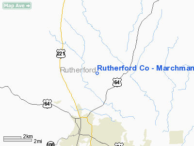
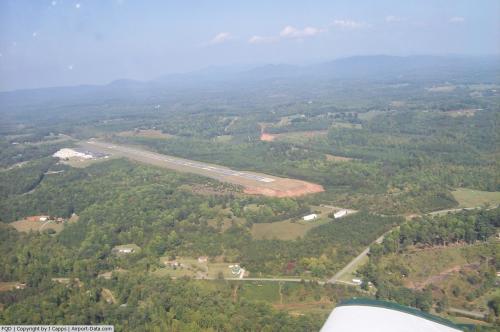
Rutherford Co - Marchman Field Airport |
 |
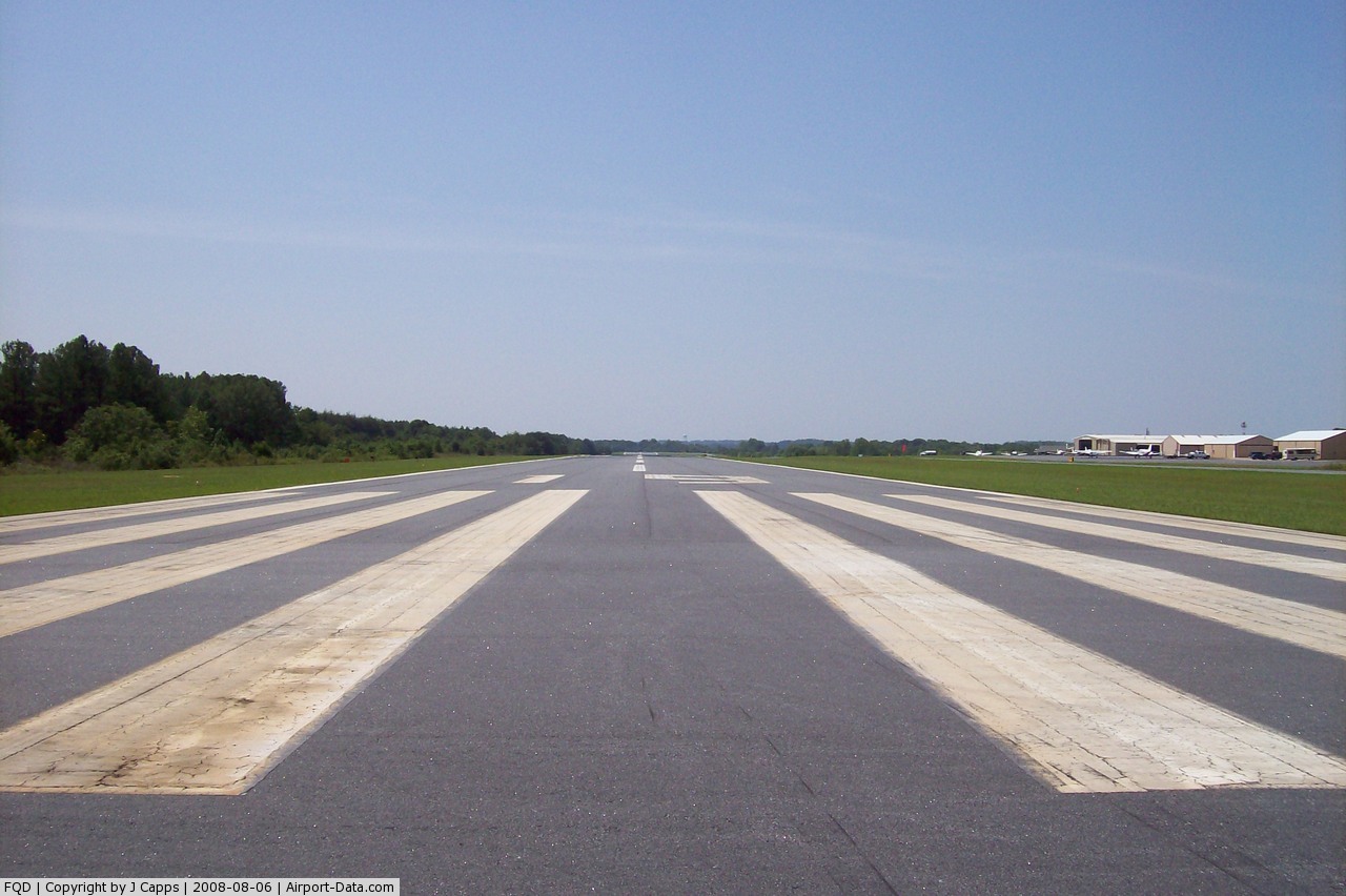
(Click on the photo to enlarge) |
 |
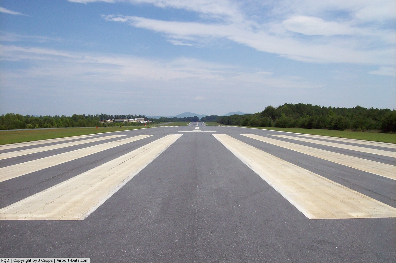
(Click on the photo to enlarge) |
 |
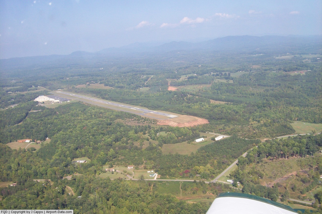
(Click on the photo to enlarge) |
Location & QuickFacts
| FAA Information Effective: | 2008-09-25 |
| Airport Identifier: | FQD |
| Airport Status: | Operational |
| Longitude/Latitude: | 081-56-06.2800W/35-25-41.6000N
-81.935078/35.428222 (Estimated) |
| Elevation: | 1078 ft / 328.57 m (Estimated) |
| Land: | 140 acres |
| From nearest city: | 3 nautical miles N of Rutherfordton, NC |
| Location: | Rutherford County, NC |
| Magnetic Variation: | 05W (1995) |
Owner & Manager
| Ownership: | Publicly owned |
| Owner: | Rutherford County Arpt Auth |
| Address: | 622 Airport Rd Ste 101
Rutherfordton, NC 28139 |
| Phone number: | 828-287-0800 |
| Manager: | George Ronan |
| Address: | 622 Airport Rd
Rutherfordton, NC 28139 |
| Phone number: | 828-287-0800
ARPT PHONE 828-286-1374. |
Airport Operations and Facilities
| Airport Use: | Open to public |
| Wind indicator: | Yes |
| Segmented Circle: | No |
| Control Tower: | No |
| Lighting Schedule: | DUSK-DAWN
ACTIVATE MIRL RY 01/19 & REIL RY 01 - CTAF AFTER 2200. |
| Beacon Color: | Clear-Green (lighted land airport) |
| Landing fee charge: | No |
| Sectional chart: | Atlanta |
| Region: | ASO - Southern |
| Boundary ARTCC: | ZTL - Atlanta |
| Tie-in FSS: | RDU - Raleigh |
| FSS on Airport: | No |
| FSS Toll Free: | 1-800-WX-BRIEF |
| NOTAMs Facility: | FQD (NOTAM-d service avaliable) |
| Federal Agreements: | NGY |
Airport Communications
| CTAF: | 122.800 |
| Unicom: | 122.800 |
Airport Services
| Fuel available: | 100LLA1+ |
| Airframe Repair: | MAJOR |
| Power Plant Repair: | MAJOR |
| Bottled Oxygen: | HIGH |
| Bulk Oxygen: | HIGH |
Runway Information
Runway 01/19
| Dimension: | 5000 x 100 ft / 1524.0 x 30.5 m |
| Surface: | ASPH, Good Condition |
| Weight Limit: | Single wheel: 12500 lbs. |
| Edge Lights: | Medium |
| |
Runway 01 |
Runway 19 |
| Longitude: | 081-56-08.1730W | 081-56-04.3820W |
| Latitude: | 35-25-16.9480N | 35-26-06.3080N |
| Elevation: | 1058.00 ft | 1078.00 ft |
| Alignment: | 4 | 127 |
| ILS Type: | LOC/DME
| |
| Traffic Pattern: | Left | Left |
| Markings: | Precision instrument, Good Condition | Non-precision instrument, Good Condition |
| Crossing Height: | 29.00 ft | 20.00 ft |
| VASI: | 2-light PAPI on left side | 2-light PAPI on left side |
| Visual Glide Angle: | 3.00° | 3.50° |
| Runway End Identifier: | Yes | |
| Obstruction: | , 50:1 slope to clear
RY 01 HAS +3 FT TREES 162 FT FROM THLD 154 FT R. | 57 ft trees, 1833.0 ft from runway, 274 ft left of centerline, 28:1 slope to clear
RY 19 HAS +31 FT TREES 40 FT FM THLD 196 FT L. |
|
Radio Navigation Aids
| ID |
Type |
Name |
Ch |
Freq |
Var |
Dist |
| MRN | FAN MARKER | Lenoir | | | 03W | 26.8 nm |
| RFE | NDB | Rutherford | | 344.00 | 05W | 4.8 nm |
| SLP | NDB | First River | | 417.00 | 06W | 19.6 nm |
| FIQ | NDB | Fiddlers | | 391.00 | 07W | 21.3 nm |
| BRA | NDB | Broad River | | 379.00 | 04W | 27.9 nm |
| FRT | NDB | Fairmont | | 248.00 | 05W | 31.7 nm |
| HK | NDB | Tawba | | 332.00 | 06W | 37.6 nm |
| GHJ | NDB | Stonia | | 260.00 | 06W | 40.7 nm |
| IZN | NDB | Lincolnton | | 432.00 | 06W | 42.1 nm |
| BAR | NDB | Hemlock | | 320.00 | 02W | 43.7 nm |
| UOT | NDB | Union County | | 326.00 | 04W | 47.0 nm |
| VW | NDB | Temky | | 280.00 | 05W | 47.3 nm |
| BZM | VOR/DME | Barretts Mountain | 045X | 110.80 | 06W | 43.0 nm |
| SUG | VORTAC | Sugarloaf Mountain | 059X | 112.20 | 02W | 16.4 nm |
| SPA | VORTAC | Spartanburg | 104X | 115.70 | 02W | 23.7 nm |
| HKY | VOT | Hickory Regional | | 110.00 | | 32.6 nm |
Remarks
- 100 FT DROPOFF 230 FT FM THLD RY 01; 0B.
Images and information placed above are from
http://www.airport-data.com/airport/FQD/
We thank them for the data!
| General Info
|
| Country |
United States
|
| State |
NORTH CAROLINA
|
| FAA ID |
FQD
|
| Latitude |
35-25-41.600N
|
| Longitude |
081-56-06.280W
|
| Elevation |
1078 feet
|
| Near City |
RUTHERFORDTON
|
We don't guarantee the information is fresh and accurate. The data may
be wrong or outdated.
For more up-to-date information please refer to other sources.
|
|