|
|
Rocky Mount-wilson Rgnl Airport |
Coordinates: 35°51′23″N 077°53′31″W / 35.85639°N 77.89194°W / 35.85639; -77.89194
| Rocky Mount-Wilson Regional Airport |
| IATA: RWI – ICAO: KRWI – FAA LID: RWI |
| Summary |
| Airport type |
Public |
| Owner |
Rocky Mount-Wilson Airport Authority |
| Serves |
Rocky Mount / Wilson, North Carolina |
| Elevation AMSL |
159 ft / 48 m |
| Runways |
| Direction |
Length |
Surface |
| ft |
m |
| 4/22 |
7,100 |
2,164 |
Asphalt |
| Statistics (2005) |
| Aircraft operations |
24,904 |
| Based aircraft |
23 |
| Source: Federal Aviation Administration |
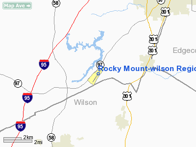
Rocky Mount-Wilson Regional Airport (IATA: RWI, ICAO: KRWI, FAA LID: RWI) is a public airport located seven miles (11 km) southwest of the central business district of Rocky Mount, a city located in Nash and Edgecombe Counties in the U.S. state of North Carolina. It is also north of Wilson, a city in Wilson County. The airport is owned by the Rocky Mount-Wilson Airport Authority.
Facilities and aircraft
Rocky Mount-Wilson Regional Airport covers an area of 364 acres (147 ha) which contains one asphalt paved runway (4/22) measuring 7,100 x 150 ft (2,164 x 46 m).
For the 12-month period ending July 31, 2005, the airport had 24,904 aircraft operations, an average of 68 per day: 93% general aviation, 6% air taxi, 1% military and <1% scheduled commercial. There are 23 aircraft based at this airport: 16 single engine, 6 multi-engine and 1 jet.
The above content comes from Wikipedia and is published under free licenses – click here to read more.
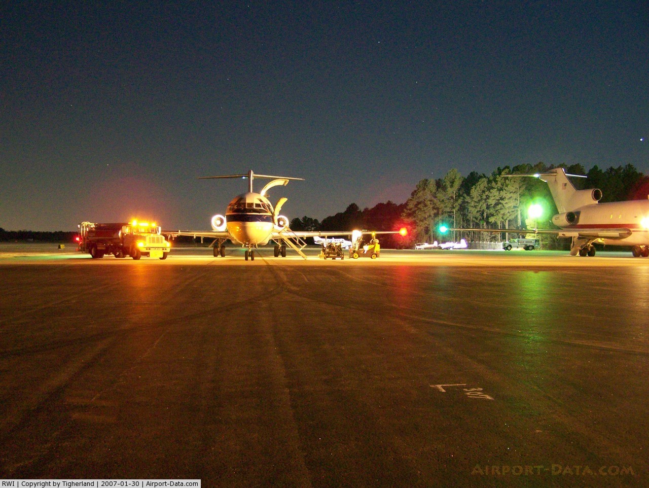
 |
(Click on the photo to enlarge) |
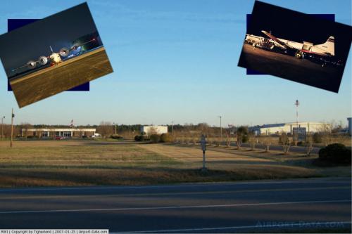
 |
(Click on the photo to enlarge) |
Location & QuickFacts
| FAA Information Effective: | 2008-09-25 |
| Airport Identifier: | RWI |
| Airport Status: | Operational |
| Longitude/Latitude: | 077-53-30.9600W/35-51-22.5100N
-77.891933/35.856253 (Estimated) |
| Elevation: | 159 ft / 48.46 m (Surveyed) |
| Land: | 364 acres |
| From nearest city: | 7 nautical miles SW of Rocky Mount, NC |
| Location: | Nash County, NC |
| Magnetic Variation: | 09W (2005) |
Owner & Manager
| Ownership: | Publicly owned |
| Owner: | Rocky Mount-wilson Arpt Auth |
| Address: | 7265 Air Terminal Dr
Elm City, NC 27822 |
| Phone number: | 252-446-7057 |
| Manager: | Hans Hess |
| Address: | 7265 Air Terminal Dr
Elm City, NC 27822 |
| Phone number: | 252-446-7057 |
Airport Operations and Facilities
| Airport Use: | Open to public |
| Wind indicator: | Yes |
| Segmented Circle: | Yes |
| Control Tower: | No |
| Lighting Schedule: | DUSK-DAWN
ACTVT HIRL RY 04/22, MALSR RY 04 & REIL RY 22 - CTAF. |
| Beacon Color: | Clear-Green (lighted land airport) |
| Landing fee charge: | No |
| Sectional chart: | Charlotte |
| Region: | ASO - Southern |
| Boundary ARTCC: | ZDC - Washington |
| Tie-in FSS: | RDU - Raleigh |
| FSS on Airport: | No |
| FSS Toll Free: | 1-800-WX-BRIEF |
| NOTAMs Facility: | RWI (NOTAM-d service avaliable) |
| Certification type/date: | I A S 05/1973
CLSD TO ACR OPNS WITH MORE THAN 30 PSGR SEATS EXCP 24 HR PPR CALL AMGR 252-446-7057. |
| Federal Agreements: | NGY |
Airport Communications
| CTAF: | 123.050 |
| Unicom: | 123.050 |
Airport Services
| Fuel available: | 100LLA |
| Airframe Repair: | MAJOR |
| Power Plant Repair: | MAJOR |
| Bottled Oxygen: | NONE |
| Bulk Oxygen: | HIGH |
Runway Information
Runway 04/22
| Dimension: | 7100 x 150 ft / 2164.1 x 45.7 m |
| Surface: | ASPH, Fair Condition |
| Surface Treatment: | Saw-cut or plastic Grooved |
| Weight Limit: | Single wheel: 62000 lbs.
Dual wheel: 75000 lbs.
Dual tandem wheel: 140000 lbs. |
| Edge Lights: | High |
| |
Runway 04 |
Runway 22 |
| Longitude: | 077-53-54.6410W | 077-53-07.2830W |
| Latitude: | 35-50-53.1660N | 35-51-51.8490N |
| Elevation: | 159.00 ft | 151.00 ft |
| Alignment: | 33 | 127 |
| ILS Type: | ILS
| |
| Traffic Pattern: | Left | Left |
| Markings: | Precision instrument, Good Condition | Precision instrument, Good Condition |
| Crossing Height: | 56.00 ft | 45.00 ft |
| VASI: | 4-light PAPI on left side | 4-light PAPI on left side |
| Visual Glide Angle: | 3.00° | 3.00° |
| Approach lights: | MALSR | |
| Runway End Identifier: | | Yes |
| Obstruction: | , 50:1 slope to clear | 56 ft trees, 2100.0 ft from runway, 34:1 slope to clear |
| Decleard distances: | Take off run available 7100.00 ft
Take off distance available 7100.00 ft
Actual stop distance available 7100.00 ft
Landing distance available 7100.00 ft
| Take off run available 7100.00 ft
Take off distance available 7100.00 ft
Actual stop distance available 6900.00 ft
Landing distance available 6900.00 ft
|
|
Radio Navigation Aids
| ID |
Type |
Name |
Ch |
Freq |
Var |
Dist |
| PGV | FAN MARKER | Belvoir | | | 06W | 28.0 nm |
| RW | NDB | Jambe | | 235.00 | 09W | 6.4 nm |
| ETC | NDB | Tarboro | | 257.00 | 08W | 17.5 nm |
| JYN | NDB | Wayne | | 208.00 | 08W | 19.9 nm |
| AQE | NDB | Alwood | | 230.00 | 09W | 26.9 nm |
| EUU | NDB | Jnall | | 251.00 | 07W | 27.1 nm |
| JN | NDB | Jurly | | 263.00 | 09W | 34.7 nm |
| MCZ | NDB | Williamston | | 336.00 | 09W | 34.8 nm |
| RZZ | NDB | Rapids | | 407.00 | 08W | 36.3 nm |
| LE | NDB | Leevy | | 350.00 | 07W | 40.6 nm |
| RNW | NDB | Chocowinity | | 388.00 | 07W | 43.6 nm |
| ASJ | NDB | Ahoskie | | 415.00 | 10W | 43.8 nm |
| HXO | NDB | Huntsboro | | 271.00 | 07W | 44.3 nm |
| HQT | NDB | Harnett | | 417.00 | 08W | 45.9 nm |
| AEA | NDB | Jones | | 373.00 | 09W | 46.2 nm |
| DKA | NDB | Kenan | | 332.00 | 07W | 47.1 nm |
| GSB | TACAN | Seymour Johnson | 112X | | 08W | 31.6 nm |
| TYI | VORTAC | Tar River | 125X | 117.80 | 05W | 11.7 nm |
| ISO | VORTAC | Kinston | 033X | 109.60 | 05W | 33.4 nm |
| RDU | VORTAC | Raleigh/durham | 119X | 117.20 | 04W | 43.4 nm |
Images and information placed above are from
http://www.airport-data.com/airport/RWI/
We thank them for the data!
| General Info
|
| Country |
United States
|
| State |
NORTH CAROLINA
|
| FAA ID |
RWI
|
| Latitude |
35-51-22.510N
|
| Longitude |
077-53-30.960W
|
| Elevation |
159 feet
|
| Near City |
ROCKY MOUNT
|
We don't guarantee the information is fresh and accurate. The data may
be wrong or outdated.
For more up-to-date information please refer to other sources.
|
|