|
|
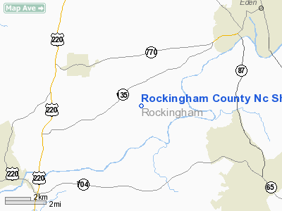
Rockingham County Nc Shiloh Airport |
 |
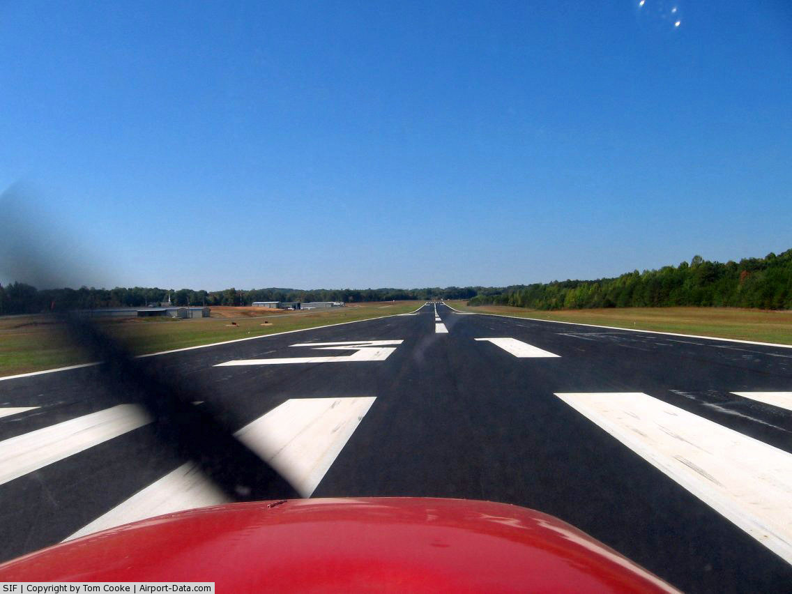
(Click on the photo to enlarge) |
 |
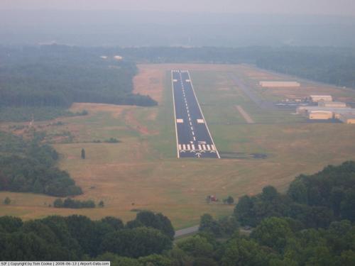
(Click on the photo to enlarge) |
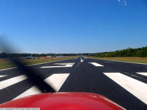 |
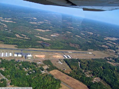
(Click on the photo to enlarge) |
Location & QuickFacts
| FAA Information Effective: | 2008-09-25 |
| Airport Identifier: | SIF |
| Airport Status: | Operational |
| Longitude/Latitude: | 079-51-03.6400W/36-26-14.0000N
-79.851011/36.437222 (Estimated) |
| Elevation: | 694 ft / 211.53 m (Surveyed) |
| Land: | 220 acres |
| From nearest city: | 8 nautical miles NW of Reidsville, NC |
| Location: | Rockingham County, NC |
| Magnetic Variation: | 07W (1990) |
Owner & Manager
| Ownership: | Publicly owned |
| Owner: | Rockingham County |
| Address: | Po Box 12
Wentworth, NC 27375 |
| Phone number: | 336-573-3115 |
| Manager: | Bob Nason |
| Address: | Po Box 12
Wentworth, NC 27375 |
| Phone number: | 336-573-3115 |
Airport Operations and Facilities
| Airport Use: | Open to public |
| Wind indicator: | Yes |
| Segmented Circle: | Yes |
| Control Tower: | No |
| Lighting Schedule: | DUSK-DAWN
ACTVT HIRL RY 13/31, PAPI RY 31 & REIL RY 31 - CTAF. |
| Beacon Color: | Clear-Green (lighted land airport) |
| Landing fee charge: | No |
| Sectional chart: | Cincinnati |
| Region: | ASO - Southern |
| Boundary ARTCC: | ZDC - Washington |
| Responsible ARTCC: | ZTL - Atlanta |
| Tie-in FSS: | RDU - Raleigh |
| FSS on Airport: | No |
| FSS Toll Free: | 1-800-WX-BRIEF |
| NOTAMs Facility: | SIF (NOTAM-d service avaliable) |
| Federal Agreements: | NGY |
Airport Communications
| CTAF: | 122.800 |
| Unicom: | 122.800 |
Airport Services
| Fuel available: | 100LLA1+ |
| Airframe Repair: | MINOR |
| Power Plant Repair: | MINOR |
| Bottled Oxygen: | NONE |
| Bulk Oxygen: | NONE |
Runway Information
Runway 13/31
| Dimension: | 5199 x 100 ft / 1584.7 x 30.5 m |
| Surface: | ASPH, Good Condition |
| Weight Limit: | Single wheel: 12500 lbs.
Dual wheel: 24000 lbs. |
| Edge Lights: | High |
| |
Runway 13 |
Runway 31 |
| Longitude: | 079-51-29.8350W | 079-50-37.4353W |
| Latitude: | 36-26-28.5643N | 36-25-59.3850N |
| Elevation: | 694.00 ft | 668.00 ft |
| Alignment: | 125 | 127 |
| ILS Type: | | SDF
|
| Traffic Pattern: | Left | Left |
| Markings: | Non-precision instrument, Good Condition | Non-precision instrument, Good Condition |
| Crossing Height: | 32.00 ft | 39.00 ft |
| Displaced threshold: | 200.00 ft | 0.00 ft |
| VASI: | 2-light PAPI on left side
RY 13 PAPI OTS INDEFLY. | 2-light PAPI on left side |
| Visual Glide Angle: | 4.00° | 4.00° |
| Runway End Identifier: | | Yes
RY 31 REIL OTS INDEFLY. |
| Obstruction: | 100 ft trees, 1700.0 ft from runway, 50L/ ft right of centerline, 15:1 slope to clear
APCH RATIO 0:1 TO DSPLCD THLD; +3 FT GND 180 FT L AT DSPLCD THLD.
+6 FT GND 50 FT R 0-200 FT FM THLD. | 37 ft trees, 800.0 ft from runway, 200L/ ft right of centerline, 16:1 slope to clear |
|
Radio Navigation Aids
| ID |
Type |
Name |
Ch |
Freq |
Var |
Dist |
| OQA | FAN MARKER | Rockingham County | | | | 1.2 nm |
| SIF | NDB | Slammer | | 423.00 | 07W | 5.4 nm |
| UV | NDB | Bales | | 396.00 | 07W | 9.7 nm |
| HB | NDB | Himun | | 361.00 | 08W | 30.5 nm |
| AZW | NDB | Mount Airy | | 223.00 | 07W | 33.5 nm |
| HUR | NDB | Person | | 220.00 | 08W | 39.9 nm |
| ZEF | NDB | Zephyr | | 326.00 | 05W | 42.9 nm |
| DVZ | NDB | Davie | | 354.00 | 06W | 43.0 nm |
| CQJ | NDB | City Lake | | 266.00 | 08W | 43.3 nm |
| TOX | NDB | Siler City | | 371.00 | 07W | 44.8 nm |
| SEN | NDB | Swearing/dcmsnd | | 260.00 | 06W | 45.1 nm |
| VIT | NDB | Vinton | | 277.00 | 06W | 46.1 nm |
| DAN | VOR | Danville | | 113.10 | 06W | 26.1 nm |
| GSO | VORTAC | Greensboro | 109X | 116.20 | 03W | 24.3 nm |
| LIB | VORTAC | Liberty | 077X | 113.00 | 03W | 39.3 nm |
| SBV | VORTAC | South Boston | 041X | 110.40 | 05W | 42.8 nm |
Remarks
- DEER ON & INVOF ARPT.
- 120 FT TREES 1800 FT FM RY 13 THLD.
Images and information placed above are from
http://www.airport-data.com/airport/SIF/
We thank them for the data!
| General Info
|
| Country |
United States
|
| State |
NORTH CAROLINA
|
| FAA ID |
SIF
|
| Latitude |
36.437222
36° 26' 14.00" N
|
| Longitude |
-79.851011
079° 51' 03.64" W
|
| Elevation |
693 feet
211 meters
|
| Magnetic Variation |
008° W (01/06)
|
| Beacon |
Yes
|
| Operating Agency |
U.S.CIVIL AIRPORT WHEREIN PERMIT COVERS USE BY TRANSIT MILITARY AIRCRAFT
|
| Daylight Saving Time |
Second Sunday in March at 0200 to first Sunday in November at 0200 local time (Exception Arizona and that portion of Indiana in the Eastern Time Zone)
|
We don't guarantee the information is fresh and accurate. The data may
be wrong or outdated.
For more up-to-date information please refer to other sources.
|
|