|
|
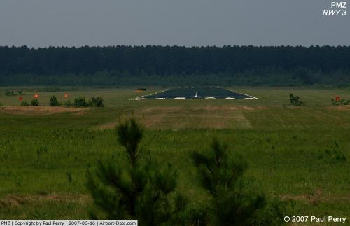 |
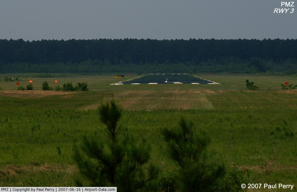
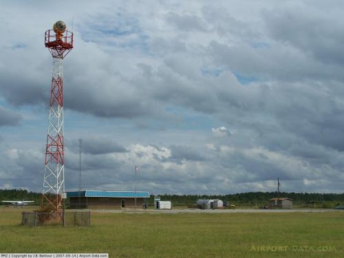
(Click on the photo to enlarge) |
 |
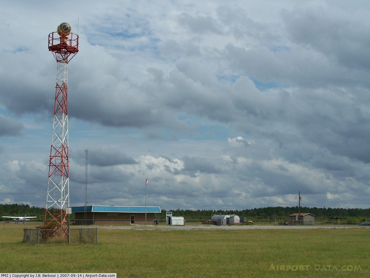
(Click on the photo to enlarge) |
Location & QuickFacts
| FAA Information Effective: | 2008-09-25 |
| Airport Identifier: | PMZ |
| Airport Status: | Operational |
| Longitude/Latitude: | 076-45-33.3970W/35-48-30.3820N
-76.759277/35.808439 (Estimated) |
| Elevation: | 39 ft / 11.89 m (Estimated) |
| Land: | 225 acres |
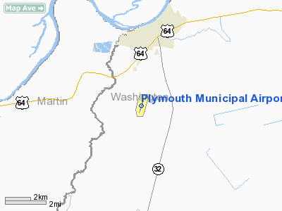
| From nearest city: | 2 nautical miles S of Plymouth, NC |
| Location: | Washington County, NC |
| Magnetic Variation: | 10W (2000) |
Owner & Manager
| Ownership: | Publicly owned |
| Owner: | City Of Plymouth |
| Address: | Po Box 806
Plymouth, NC 27962 |
| Phone number: | 252-793-9101 |
| Manager: | Wade Brabble |
| Address: | Po Box 806
Plymouth, NC 27962 |
| Phone number: | 252-793-9801 |
Airport Operations and Facilities
| Airport Use: | Open to public |
| Wind indicator: | Yes |
| Segmented Circle: | Yes |
| Control Tower: | No |
| Lighting Schedule: | DUSK-DAWN
ACTVT MIRL RY 03/21 AND PAPI RYS 03 & 21 - CTAF. |
| Beacon Color: | Clear-Green (lighted land airport) |
| Landing fee charge: | No |
| Sectional chart: | Charlotte |
| Region: | ASO - Southern |
| Boundary ARTCC: | ZDC - Washington |
| Tie-in FSS: | RDU - Raleigh |
| FSS on Airport: | No |
| FSS Toll Free: | 1-800-WX-BRIEF |
| NOTAMs Facility: | RDU (NOTAM-d service avaliable) |
| Federal Agreements: | NGY |
Airport Communications
| CTAF: | 122.800 |
| Unicom: | 122.800 |
Airport Services
| Fuel available: | 100LLA1+
FOR FUEL AFT HRS CALL 252-793-9801. |
| Airframe Repair: | NONE |
| Power Plant Repair: | NONE |
| Bottled Oxygen: | NONE |
| Bulk Oxygen: | NONE |
Runway Information
Runway 03/21
| Dimension: | 3700 x 75 ft / 1127.8 x 22.9 m |
| Surface: | ASPH, Fair Condition |
| Weight Limit: | Single wheel: 25000 lbs. |
| Edge Lights: | Medium |
| |
Runway 03 |
Runway 21 |
| Longitude: | 076-45-40.1130W | 076-45-26.7010W |
| Latitude: | 35-48-12.8860N | 35-48-47.7850N |
| Elevation: | 37.00 ft | 35.00 ft |
| Alignment: | 17 | 127 |
| Traffic Pattern: | Left | Left |
| Markings: | Non-precision instrument, Fair Condition | Non-precision instrument, Fair Condition |
| Crossing Height: | 30.00 ft | 30.00 ft |
| VASI: | 2-light PAPI on left side | 2-light PAPI on left side |
| Visual Glide Angle: | 4.00° | 4.00° |
| Obstruction: | 82 ft trees, 2087.0 ft from runway, 142 ft left of centerline, 23:1 slope to clear | 80 ft trees, 2022.0 ft from runway, 106 ft right of centerline, 22:1 slope to clear |
|
Radio Navigation Aids
| ID |
Type |
Name |
Ch |
Freq |
Var |
Dist |
| PGV | FAN MARKER | Belvoir | | | 06W | 32.1 nm |
| PMZ | NDB | Plymouth | | 221.00 | 10W | 0.2 nm |
| EDE | NDB | Edenton | | 265.00 | 10W | 16.1 nm |
| MCZ | NDB | Williamston | | 336.00 | 09W | 20.6 nm |
| RNW | NDB | Chocowinity | | 388.00 | 07W | 24.7 nm |
| AQE | NDB | Alwood | | 230.00 | 09W | 30.5 nm |
| LLW | NDB | Woodville | | 254.00 | 10W | 35.3 nm |
| ASJ | NDB | Ahoskie | | 415.00 | 10W | 35.8 nm |
| ETC | NDB | Tarboro | | 257.00 | 08W | 39.1 nm |
| RK | NDB | Waley | | 249.00 | 10W | 47.8 nm |
| ECG | VOR/DME | Elizabeth City | 072X | 112.50 | 07W | 39.2 nm |
| EWN | VOR/DME | New Bern | 083X | 113.60 | 08W | 46.4 nm |
| CVI | VORTAC | Cofield | 093X | 114.60 | 09W | 34.4 nm |
| ISO | VORTAC | Kinston | 033X | 109.60 | 05W | 47.1 nm |
| TYI | VORTAC | Tar River | 125X | 117.80 | 05W | 47.1 nm |
Remarks
-
- DEER ACTVTY INVOF ARPT.
- THERE ARE 17 BASED AIRCRAFT LOCATED ADJACENT TO THE AIRPORT WITH TAXIWAY ACESS TO RAMP.
Images and information placed above are from
http://www.airport-data.com/airport/PMZ/
We thank them for the data!
| General Info
|
| Country |
United States
|
| State |
NORTH CAROLINA
|
| FAA ID |
PMZ
|
| Latitude |
35-48-30.382N
|
| Longitude |
076-45-33.397W
|
| Elevation |
39 feet
|
| Near City |
PLYMOUTH
|
We don't guarantee the information is fresh and accurate. The data may
be wrong or outdated.
For more up-to-date information please refer to other sources.
|
|