|
|
| Person County Airport |
| IATA: none – ICAO: KTDF – FAA LID: TDF |
| Summary |
| Airport type |
Public |
| Owner |
Person County |
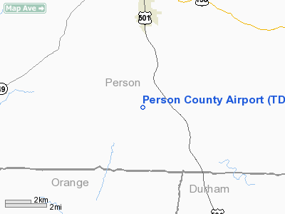
| Serves |
Roxboro, North Carolina |
| Location |
Timberlake, North Carolina |
| Elevation AMSL |
609 ft / 186 m |
| Coordinates |
36°17′05″N 078°59′05″W / 36.28472°N 78.98472°W / 36.28472; -78.98472 |
| Runways |
| Direction |
Length |
Surface |
| ft |
m |
| 6/24 |
6,005 |
1,830 |
Asphalt |
| Statistics (2009) |
| Aircraft operations |
34,750 |
| Based aircraft |
34 |
| Source: Federal Aviation Administration |
Person County Airport (ICAO: KTDF, FAA LID: TDF) is a county-owned, public-use airport in Person County, North Carolina, United States. It is located six nautical miles (11 km) south of the central business district of Roxboro, at 385 Montgomery Drive in Timberlake.
According to the FAA's National Plan of Integrated Airport Systems for 2009–2013, it is a general aviation airport (it had previously been a reliever airport).
Although many U.S. airports use the same three-letter location identifier for the FAA and IATA, this airport is assigned TDF by the FAA but has no designation from the IATA.
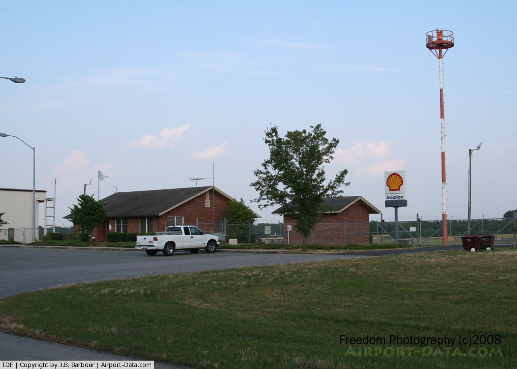
Facilities and aircraft
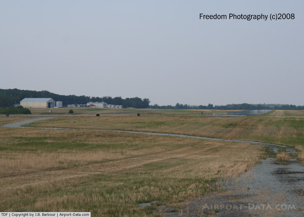
Person County Airport covers an area of 218 acres (88 ha) at an elevation of 609 feet (186 m) above mean sea level. It has one runway designated 6/24 with an asphalt surface measuring 6,005 by 100 feet (1,830 x 30 m).
For the 12-month period ending June 30, 2009, the airport had 34,750 aircraft operations, an average of 95 per day: 95% general aviation, 5% military and 2% air taxi. At that time there were 34 aircraft based at this airport: 82% single-engine and 18% multi-engine.
The above content comes from Wikipedia and is published under free licenses – click here to read more.
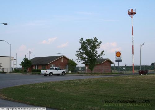 |
(Click on the photo to enlarge) |
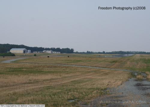 |
(Click on the photo to enlarge) |
 |
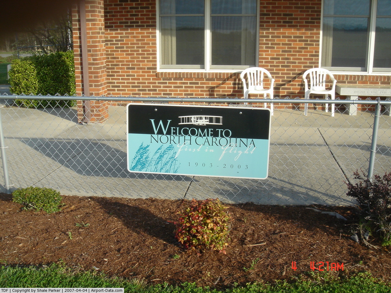
(Click on the photo to enlarge) |
Location & QuickFacts
| FAA Information Effective: | 2008-09-25 |
| Airport Identifier: | TDF |
| Airport Status: | Operational |
| Longitude/Latitude: | 078-59-04.6541W/36-17-04.5694N
-78.984626/36.284603 (Estimated) |
| Elevation: | 609 ft / 185.62 m (Surveyed) |
| Land: | 218 acres |
| From nearest city: | 6 nautical miles S of Roxboro, NC |
| Location: | Person County, NC |
| Magnetic Variation: | 08W (2000) |
Owner & Manager
| Ownership: | Publicly owned |
| Owner: | Person County |
| Address: | County Bldg, 304 S Morgan St
Roxboro, NC 27573-5245 |
| Phone number: | 336-364-1111 |
| Manager: | David Rigsbee |
| Address: | 385 Montgomery Drive
Timberlake, NC 27583-5245 |
| Phone number: | 919-383-6101 |
Airport Operations and Facilities
| Airport Use: | Open to public |
| Wind indicator: | Yes |
| Segmented Circle: | Yes |
| Control Tower: | No |
| Lighting Schedule: | DUSK-DAWN
ACTVT MIRL/REILS/PAPIS RY 06/24 - CTAF. |
| Beacon Color: | Clear-Green (lighted land airport) |
| Sectional chart: | Washington |
| Region: | ASO - Southern |
| Boundary ARTCC: | ZDC - Washington |
| Tie-in FSS: | RDU - Raleigh |
| FSS Toll Free: | 1-800-WX-BRIEF |
| NOTAMs Facility: | TDF (NOTAM-d service avaliable) |
| Federal Agreements: | NGY |
Airport Communications
| CTAF: | 122.700 |
| Unicom: | 122.700 |
Airport Services
| Fuel available: | 100LLA1+ |
| Airframe Repair: | MINOR |
| Power Plant Repair: | MINOR |
Runway Information
Runway 06/24
| Dimension: | 6005 x 100 ft / 1830.3 x 30.5 m |
| Surface: | ASPH, Fair Condition |
| Weight Limit: | Single wheel: 30000 lbs. |
| Edge Lights: | Medium |
| |
Runway 06 |
Runway 24 |
| Longitude: | 078-59-33.5987W | 078-58-35.7095W |
| Latitude: | 36-16-46.3333N | 36-17-22.8055N |
| Elevation: | 590.00 ft | 604.00 ft |
| Alignment: | 52 | 127 |
| ILS Type: | ILS/DME
| |
| Traffic Pattern: | Left | Left |
| Markings: | Precision instrument, Good Condition | Non-precision instrument, Good Condition |
| Crossing Height: | 43.00 ft | 40.00 ft |
| Displaced threshold: | 304.00 ft | 0.00 ft |
| VASI: | 2-light PAPI on left side | 2-light PAPI on left side |
| Visual Glide Angle: | 3.25° | 3.00° |
| Runway End Identifier: | Yes | Yes |
| Obstruction: | , 50:1 slope to clear
50:1 AT DISPLACED THRESHOLD. | 24 ft trees, 1252.0 ft from runway, 347 ft left of centerline, 44:1 slope to clear |
|
Radio Navigation Aids
| ID |
Type |
Name |
Ch |
Freq |
Var |
Dist |
| OQA | FAN MARKER | Rockingham County | | | | 41.8 nm |
| HUR | NDB | Person | | 220.00 | 08W | 5.0 nm |
| HXO | NDB | Huntsboro | | 271.00 | 07W | 17.8 nm |
| LE | NDB | Leevy | | 350.00 | 07W | 25.0 nm |
| HB | NDB | Himun | | 361.00 | 08W | 34.5 nm |
| SIF | NDB | Slammer | | 423.00 | 07W | 38.2 nm |
| TOX | NDB | Siler City | | 371.00 | 07W | 39.1 nm |
| TT | NDB | Leeco | | 406.00 | 08W | 47.9 nm |
| UV | NDB | Bales | | 396.00 | 07W | 48.7 nm |
| AEA | NDB | Jones | | 373.00 | 09W | 49.2 nm |
| DAN | VOR | Danville | | 113.10 | 06W | 24.1 nm |
| SBV | VORTAC | South Boston | 041X | 110.40 | 05W | 23.5 nm |
| RDU | VORTAC | Raleigh/durham | 119X | 117.20 | 04W | 26.6 nm |
| LIB | VORTAC | Liberty | 077X | 113.00 | 03W | 41.7 nm |
Remarks
- DEER & BIRDS ON & INVOF ARPT.
- GCO AVBL ON FREQ 119.700 THRU RDU CLEARANCE DELIVERY.
- CONCRETE HELIPAD, ADJACENT AND NE OF MAIN APRON, UNLIGHTED, VFR ONLY
- RY SAFETY AREA HAS DEPRESSIONS.
Images and information placed above are from
http://www.airport-data.com/airport/TDF/
We thank them for the data!
| General Info
|
| Country |
United States
|
| State |
NORTH CAROLINA
|
| FAA ID |
TDF
|
| Latitude |
36-17-05.611N
|
| Longitude |
078-59-03.217W
|
| Elevation |
609 feet
|
| Near City |
ROXBORO
|
We don't guarantee the information is fresh and accurate. The data may
be wrong or outdated.
For more up-to-date information please refer to other sources.
|
|