|
|
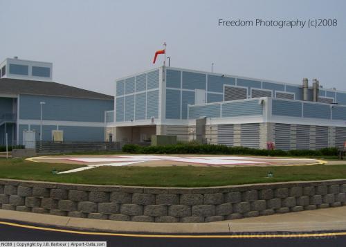 |
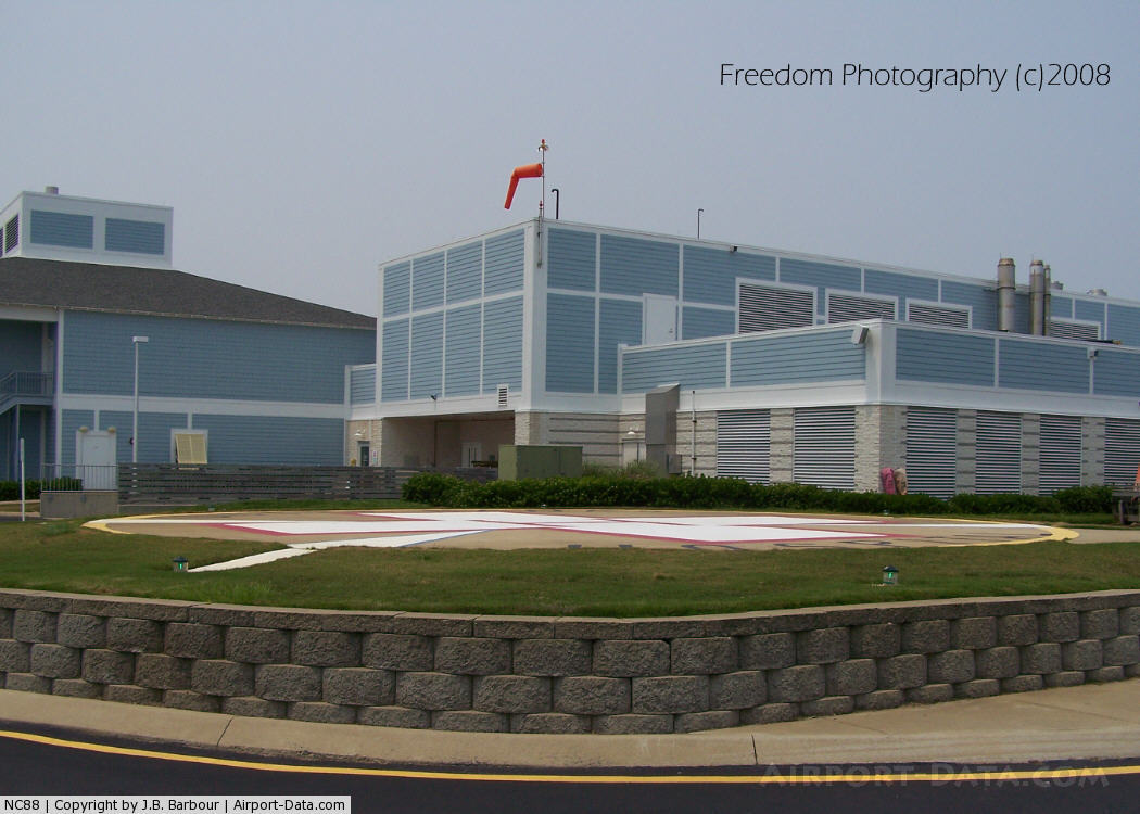
(Click on the photo to enlarge) |
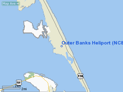
Location & QuickFacts
| FAA Information Effective: | 2008-09-25 |
| Airport Identifier: | NC88 |
| Airport Status: | Operational |
| Longitude/Latitude: | 075-39-04.6280W/35-58-57.6060N
-75.651286/35.982668 (Estimated) |
| Elevation: | 30 ft / 9.14 m (Estimated) |
| Land: | 0 acres |
| From nearest city: | 0 nautical miles N of Nags Head, NC |
| Location: | Dare County, NC |
| Magnetic Variation: | 09W (1985) |
Owner & Manager
| Ownership: | Publicly owned |
| Owner: | Outer Banks Medical Center |
| Address: | 425 W. Health Center Drive
Nags, NC 27959 |
| Phone number: | 252-441-7111 |
| Manager: | C. Mitchell Jenkins |
| Address: | 425 W. Health Center Drive
Nags, NC 27959 |
| Phone number: | 252-441-7111 |
Airport Operations and Facilities
| Airport Use: | Private |
| Wind indicator: | No |
| Segmented Circle: | No |
| Control Tower: | No |
| Landing fee charge: | No |
| Sectional chart: | Charlotte |
| Region: | ASO - Southern |
| Boundary ARTCC: | ZDC - Washington |
| Tie-in FSS: | RDU - Raleigh |
| FSS on Airport: | No |
| FSS Toll Free: | 1-800-WX-BRIEF |
Runway Information
Helipad H1
| Dimension: | 50 x 50 ft / 15.2 x 15.2 m |
| Surface: | CONC, |
| |
Runway H1 |
Runway |
| Traffic Pattern: | Left | Left |
|
Radio Navigation Aids
| ID |
Type |
Name |
Ch |
Freq |
Var |
Dist |
| HI | MARINE NDB | Hatteras Inlet Station/dcm | | 1.00 | 09W | 46.7 nm |
| MQI | NDB | Manteo | | 370.00 | 09W | 4.6 nm |
| LLW | NDB | Woodville | | 254.00 | 10W | 35.6 nm |
| EDE | NDB | Edenton | | 265.00 | 10W | 44.6 nm |
| RBX | VOR/DME | Wright Brothers | 053X | 111.60 | 08W | 4.3 nm |
| ECG | VOR/DME | Elizabeth City | 072X | 112.50 | 07W | 30.4 nm |
Remarks
- VFR WEATHER OPNS ONLY; PVT USE; USE COORD WITH RALEIGH GADO NC.
Images and information placed above are from
http://www.airport-data.com/airport/NC88/
We thank them for the data!
| General Info
|
| Country |
United States
|
| State |
NORTH CAROLINA
|
| FAA ID |
NC88
|
| Latitude |
35-58-57.606N
|
| Longitude |
075-39-04.628W
|
| Elevation |
30 feet
|
| Near City |
NAGS HEAD
|
We don't guarantee the information is fresh and accurate. The data may
be wrong or outdated.
For more up-to-date information please refer to other sources.
|
|