|
|
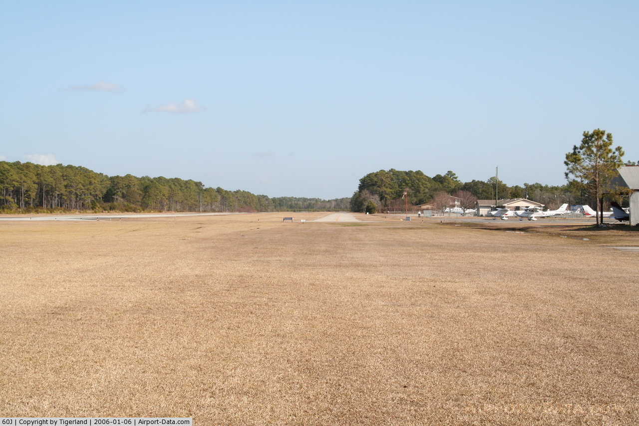
Odell Williamson Muni Airport |
 |
(Click on the photo to enlarge) |
Location & QuickFacts
| FAA Information Effective: | 2008-09-25 |
| Airport Identifier: | 60J |
| Airport Status: | Operational |
| Longitude/Latitude: | 078-26-12.0200W/33-54-30.6200N
-78.436672/33.908506 (Estimated) |
| Elevation: | 32 ft / 9.75 m (Surveyed) |
| Land: | 25 acres |
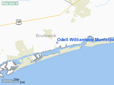
| From nearest city: | 1 nautical miles N of Ocean Isle Beach, NC |
| Location: | Brunswick County, NC |
| Magnetic Variation: | 07W (1985) |
Owner & Manager
| Ownership: | Publicly owned |
| Owner: | Town Of Ocean Isle Beach |
| Address: | 3 West 3rd Street
Ocean Isle Beach, NC 28469 |
| Phone number: | 910-579-2166 |
| Manager: | Daisy Ivey |
| Address: | Town Hall
Ocean Isle Beach, NC 28469 |
| Phone number: | 910-579-2166 |
Airport Operations and Facilities
| Airport Use: | Open to public |
| Wind indicator: | Yes |
| Segmented Circle: | No |
| Control Tower: | No |
| Lighting Schedule: | RDO-CTL
ACTVT MIRL RY 06/24 - CTAF. |
| Landing fee charge: | No |
| Sectional chart: | Charlotte |
| Region: | ASO - Southern |
| Boundary ARTCC: | ZJX - Jacksonville |
| Tie-in FSS: | RDU - Raleigh |
| FSS on Airport: | No |
| FSS Toll Free: | 1-800-WX-BRIEF |
| NOTAMs Facility: | RDU (NOTAM-d service avaliable) |
| Federal Agreements: | N |
Airport Communications
Airport Services
| Airframe Repair: | NONE |
| Power Plant Repair: | NONE |
| Bottled Oxygen: | NONE |
| Bulk Oxygen: | NONE |
Runway Information
Runway 06/24
| Dimension: | 4000 x 75 ft / 1219.2 x 22.9 m |
| Surface: | ASPH, Good Condition |
| Weight Limit: | Single wheel: 12000 lbs. |
| Edge Lights: | Medium |
| |
Runway 06 |
Runway 24 |
| Traffic Pattern: | Left | Left |
| Markings: | Non-precision instrument, Good Condition | Precision instrument, Good Condition |
| Displaced threshold: | 0.00 ft | 200.00 ft |
| Obstruction: | 76 ft tree, 726.0 ft from runway, 161 ft right of centerline, 6:1 slope to clear | 90 ft tree, 420.0 ft from runway, 40 ft left of centerline, 2:1 slope to clear
RWY 24 APCH SLOPE 5:1 TO DSPLCD THLD. |
|
Radio Navigation Aids
| ID |
Type |
Name |
Ch |
Freq |
Var |
Dist |
| SUT | NDB | Yaupon | | 233.00 | 08W | 18.1 nm |
| CPC | NDB | Camp | | 227.00 | 07W | 25.8 nm |
| CLB | NDB | Carolina Beach | | 216.00 | 04W | 26.5 nm |
| HYW | NDB | Horry | | 370.00 | 08W | 34.9 nm |
| TGQ | NDB | Elizabethtown | | 398.00 | 08W | 37.5 nm |
| MAO | NDB | Marion | | 388.00 | 06W | 47.6 nm |
| CRE | VORTAC | Grand Strand | 123X | 117.60 | 03W | 15.5 nm |
| ILM | VORTAC | Wilmington | 117X | 117.00 | 07W | 38.6 nm |
Remarks
- TREES ALONG PARALLEL TWY ARE WITHIN CLOSE PROXIMITY OF TAXIING AIRCRAFT.
- PARALLEL TWY UNMKD & UNLGTD.
- VFR USE ONLY.
Images and information placed above are from
http://www.airport-data.com/airport/60J/
We thank them for the data!
| General Info
|
| Country |
United States
|
| State |
NORTH CAROLINA
|
| FAA ID |
60J
|
| Latitude |
33-54-30.620N
|
| Longitude |
078-26-12.020W
|
| Elevation |
32 feet
|
| Near City |
OCEAN ISLE BEACH
|
We don't guarantee the information is fresh and accurate. The data may
be wrong or outdated.
For more up-to-date information please refer to other sources.
|
|