|
|
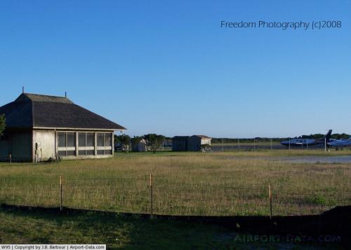 |
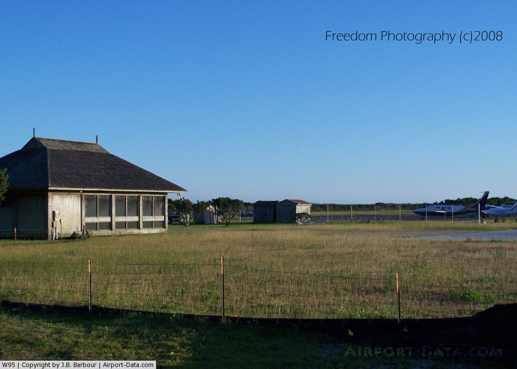
(Click on the photo to enlarge) |
Location & QuickFacts
| FAA Information Effective: | 2008-09-25 |
| Airport Identifier: | W95 |
| Airport Status: | Operational |
| Longitude/Latitude: | 075-57-57.4730W/35-06-04.1870N
-75.965965/35.101163 (Estimated) |
| Elevation: | 5 ft / 1.52 m (Estimated) |
| Land: | 50 acres |
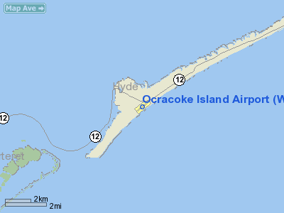
| From nearest city: | 1 nautical miles E of Ocracoke, NC |
| Location: | Hyde County, NC |
| Magnetic Variation: | 09W (1985) |
Owner & Manager
| Ownership: | Publicly owned |
| Owner: | National Park Service
ARPT LEASED TO NC DOT UNDER SPECIAL-USE PERMIT. |
| Address: | 1401 National Park Dr.
Manteo, NC 27954 |
| Phone number: | 252-473-2111 |
| Manager: | Nc Dot Div. Of Aviation
ATTN- RICK BARKES |
| Address: | 1560 Mail Service Center
Raleigh, NC 27699 |
| Phone number: | 919-840-0112 |
Airport Operations and Facilities
| Airport Use: | Open to public |
| Wind indicator: | Yes |
| Segmented Circle: | No |
| Control Tower: | No |
| Landing fee charge: | No |
| Sectional chart: | Charlotte |
| Region: | ASO - Southern |
| Traffic Pattern Alt: | 800 ft |
| Boundary ARTCC: | ZDC - Washington |
| Tie-in FSS: | RDU - Raleigh |
| FSS on Airport: | No |
| FSS Toll Free: | 1-800-WX-BRIEF |
| NOTAMs Facility: | RDU (NOTAM-d service avaliable) |
| Federal Agreements: | N |
Airport Communications
Airport Services
| Airframe Repair: | NONE |
| Power Plant Repair: | NONE |
| Bottled Oxygen: | NONE |
| Bulk Oxygen: | NONE |
Runway Information
Runway 06/24
| Dimension: | 2999 x 60 ft / 914.1 x 18.3 m |
| Surface: | ASPH, Good Condition |
| Weight Limit: | Single wheel: 30000 lbs. |
| |
Runway 06 |
Runway 24 |
| Longitude: | 075-58-11.3820W | 075-57-43.5640W |
| Latitude: | 35-05-54.7410N | 35-06-13.6330N |
| Elevation: | 5.00 ft | 5.00 ft |
| Alignment: | 50 | 127 |
| Traffic Pattern: | Left | Left |
| Markings: | Non-precision instrument, Poor Condition
MARKING EXTREMELY FADED | Non-precision instrument, Poor Condition
MARKING EXTREMELY FADED |
| Obstruction: | 11 ft brush, 306.0 ft from runway, 39 ft left of centerline, 9:1 slope to clear
BUSHES 0-200 FT L AND R FROM THRESHOLD. | 13 ft brush, 204.0 ft from runway, 63 ft left of centerline
+7 FT BUSHES 150 FT FM THLD ON CNTRLN. |
|
Radio Navigation Aids
| ID |
Type |
Name |
Ch |
Freq |
Var |
Dist |
| HI | MARINE NDB | Hatteras Inlet Station/dcm | | 1.00 | 09W | 14.3 nm |
| MRH | NDB | Morehead | | 269.00 | 08W | 40.9 nm |
| OUC | NDB/DME | Pamlico/dcmsnd | 034X | 404.00 | 09W | 1.4 nm |
| NKT | TACAN | Cherry Point | 075X | | 09W | 46.3 nm |
Remarks
- ARPT CLSD 30 MIN AFTER SS TIL 30 MIN BEFORE SR.
- HIGH SPEED LOW LEVEL MIL OPNS VICINITY OF ARPT.
- FLOCKS OF SEAGULLS ON AND NEAR RWY AROUND STANDING WATER AFTER HEAVY RAINS.
- RY SAFETY AREA IS LOOSE SAND; NOT SUITABLE FOR ACFT.
- NIGHT TAKEOFFS PROHIBITED.
- ARPT IS WITHIN CAPE HATTERAS NATIONAL SEASHORE. MAINTAIN 2000 FT VERTICAL & HORIZONTAL DISTANCE FROM SEASHORE BEACHES.
- +20 FT SAND DUNE 300 FT NE RY 24 THLD ON CNTRLN.
Images and information placed above are from
http://www.airport-data.com/airport/W95/
We thank them for the data!
| General Info
|
| Country |
United States
|
| State |
NORTH CAROLINA
|
| FAA ID |
W95
|
| Latitude |
35-06-04.187N
|
| Longitude |
075-57-57.473W
|
| Elevation |
5 feet
|
| Near City |
OCRACOKE
|
We don't guarantee the information is fresh and accurate. The data may
be wrong or outdated.
For more up-to-date information please refer to other sources.
|
|