|
|
 |
(Click on the photo to enlarge) |
Location & QuickFacts
| FAA Information Effective: | 2008-09-25 |
| Airport Identifier: | 13NC |
| Airport Status: | Operational |
| Longitude/Latitude: | 077-14-58.8390W/35-02-00.5700N
-77.249677/35.033492 (Estimated) |
| Elevation: | 27 ft / 8.23 m (Estimated) |
| Land: | 0 acres |
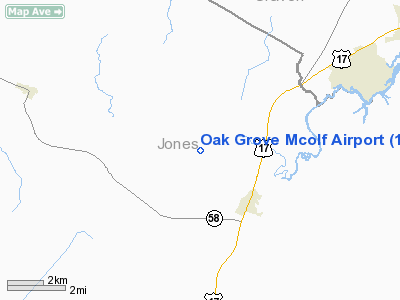
| From nearest city: | 2 nautical miles NW of Pollocksville, NC |
| Location: | Jones County, NC |
| Magnetic Variation: | 07W (1985) |
Owner & Manager
| Ownership: | Navy owned |
| Owner: | Us Navy |
| Address: | Oceanographic Ofc - Code 3142
Washington, DC 20373 |
| Address: |
|
Airport Operations and Facilities
| Airport Use: | Private |
| Segmented Circle: | No |
| Control Tower: | Yes |
| Sectional chart: | Charlotte |
| Region: | ASO - Southern |
| Boundary ARTCC: | ZDC - Washington |
| Tie-in FSS: | NCA - New River Mcas |
| FSS on Airport: | No |
| FSS Toll Free: | 1-800-WX-BRIEF |
Airport Communications
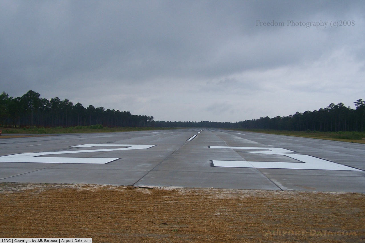
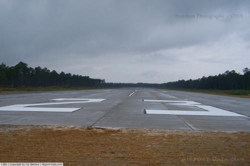
Runway Information
Runway 01/19
| Dimension: | 4000 x 150 ft / 1219.2 x 45.7 m |
| Surface: | ASPH, |
| |
Runway 01 |
Runway 19 |
| Traffic Pattern: | Left | Left |
|
Runway 05/23
| Dimension: | 4200 x 150 ft / 1280.2 x 45.7 m |
| Surface: | ASPH, |
| |
Runway 05 |
Runway 23 |
| Traffic Pattern: | Left | Left |
|
Runway 09/27
| Dimension: | 4100 x 150 ft / 1249.7 x 45.7 m |
| Surface: | ASPH, |
| |
Runway 09 |
Runway 27 |
| Traffic Pattern: | Left | Left |
|
Radio Navigation Aids
| ID |
Type |
Name |
Ch |
Freq |
Var |
Dist |
| PGV | FAN MARKER | Belvoir | | | 06W | 37.0 nm |
| NCA | NDB | New River | | 356.00 | 08W | 20.7 nm |
| RNW | NDB | Chocowinity | | 388.00 | 07W | 29.5 nm |
| DKA | NDB | Kenan | | 332.00 | 07W | 33.0 nm |
| MRH | NDB | Morehead | | 269.00 | 08W | 34.2 nm |
| AQE | NDB | Alwood | | 230.00 | 09W | 40.9 nm |
| ACZ | NDB | Pendy | | 379.00 | 09W | 41.8 nm |
| JYN | NDB | Wayne | | 208.00 | 08W | 43.5 nm |
| MCZ | NDB | Williamston | | 336.00 | 09W | 49.7 nm |
| DIW | NDB/DME | Dixon | 107X | 198.00 | 08W | 29.7 nm |
| NKT | TACAN | Cherry Point | 075X | | 09W | 20.1 nm |
| NCA | TACAN | New River | 101X | | 08W | 21.8 nm |
| NJM | TACAN | Bogue Mcalf | 067X | | 08W | 23.4 nm |
| GSB | TACAN | Seymour Johnson | 112X | | 08W | 39.8 nm |
| EWN | VOR/DME | New Bern | 083X | 113.60 | 08W | 10.3 nm |
| ISO | VORTAC | Kinston | 033X | 109.60 | 05W | 25.3 nm |
Remarks
- CLSD - NO FAC. HOLF TO MCAS NEW RIVER.
Images and information placed above are from
http://www.airport-data.com/airport/13NC/
We thank them for the data!
| General Info
|
| Country |
United States
|
| State |
NORTH CAROLINA
|
| FAA ID |
13NC
|
| Latitude |
35-02-00.570N
|
| Longitude |
077-14-58.839W
|
| Elevation |
27 feet
|
| Near City |
POLLOCKSVILLE
|
We don't guarantee the information is fresh and accurate. The data may
be wrong or outdated.
For more up-to-date information please refer to other sources.
|
|