|
|
Northeastern Rgnl Airport |
| Northeastern Regional Airport |
| IATA: EDE – ICAO: KEDE – FAA LID: EDE |
| Summary |
| Airport type |
Public |
| Operator |
Town of Edenton |
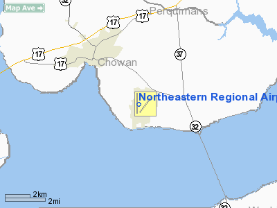
| Location |
Edenton, North Carolina |
| Elevation AMSL |
20 ft / 6.1 m |
| Coordinates |
36°01′40″N 076°34′02″W / 36.02778°N 76.56722°W / 36.02778; -76.56722Coordinates: 36°01′40″N 076°34′02″W / 36.02778°N 76.56722°W / 36.02778; -76.56722 |
| Runways |
| Direction |
Length |
Surface |
| ft |
m |
| 1/19 |
6,000 |
1,829 |
Asphalt |
| 5/23 |
3,757 |
1,145 |
Asphalt |
Northeastern Regional Airport (IATA: EDE, ICAO: KEDE, FAA LID: EDE) is a public airport located three miles (5 km) southeast of the central business district (CBD) of Edenton, a town in Chowan County, North Carolina, USA. This general aviation airport covers 734 acres (297 ha) and has two runways.
The above content comes from Wikipedia and is published under free licenses – click here to read more.
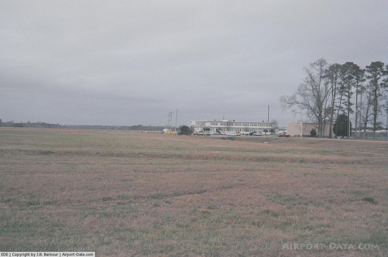
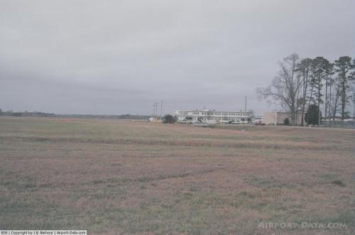
 |
(Click on the photo to enlarge) |
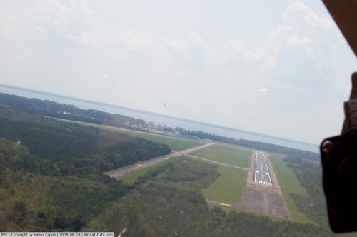
 |
(Click on the photo to enlarge) |
Location & QuickFacts
| FAA Information Effective: | 2008-09-25 |
| Airport Identifier: | EDE |
| Airport Status: | Operational |
| Longitude/Latitude: | 076-34-01.5320W/36-01-39.8441N
-76.567092/36.027734 (Estimated) |
| Elevation: | 20 ft / 6.10 m (Surveyed) |
| Land: | 734 acres |
| From nearest city: | 3 nautical miles SE of Edenton, NC |
| Location: | Chowan County, NC |
| Magnetic Variation: | 10W (2000) |
Owner & Manager
| Ownership: | Publicly owned |
| Owner: | Town Of Edenton |
| Address: | Po Box 300
Edenton, NC 27932 |
| Phone number: | 252-486-7352 |
| Manager: | George Cipra |
| Address: | 113 Airport Road
Edenton, NC 27932 |
| Phone number: | 252-482-4664 |
Airport Operations and Facilities
| Airport Use: | Open to public |
| Wind indicator: | Yes |
| Segmented Circle: | Yes |
| Control Tower: | No |
| Lighting Schedule: | DUSK-DAWN
PAPI RYS 01& 19 OPER CONT. ACTVT MIRL RY 1/19 AND REIL RYS 01 & 19 - CTAF. |
| Beacon Color: | Clear-Green (lighted land airport) |
| Landing fee charge: | No |
| Sectional chart: | Washington |
| Region: | ASO - Southern |
| Boundary ARTCC: | ZDC - Washington |
| Tie-in FSS: | RDU - Raleigh |
| FSS on Airport: | No |
| FSS Toll Free: | 1-800-WX-BRIEF |
| NOTAMs Facility: | EDE (NOTAM-d service avaliable) |
| Federal Agreements: | NGPY |
Airport Communications
| CTAF: | 123.000 |
| Unicom: | 123.000 |
Airport Services
| Fuel available: | 100LLA1+
AFT HRS SELF SERVICE FUEL AVBL WITH CREDIT CARD. |
| Airframe Repair: | NONE |
| Power Plant Repair: | NONE |
| Bottled Oxygen: | NONE |
| Bulk Oxygen: | NONE |
Runway Information
Runway 01/19
| Dimension: | 6000 x 100 ft / 1828.8 x 30.5 m
RY 01/19 HAS 1500 FT STOPWAY AT N END & 500 FT STOPWAY AT S END. |
| Surface: | ASPH, Good Condition |
| Weight Limit: | Single wheel: 60000 lbs.
Dual wheel: 80000 lbs. |
| Edge Lights: | Medium |
| |
Runway 01 |
Runway 19 |
| Longitude: | 076-34-11.1100W | 076-34-11.2300W |
| Latitude: | 36-01-13.2700N | 36-02-12.6100N |
| Elevation: | 18.00 ft | 19.00 ft |
| Alignment: | 0 | 127 |
| ILS Type: | | LOC/DME |
| Traffic Pattern: | Left | Left |
| Markings: | Non-precision instrument, Good Condition | Non-precision instrument, Good Condition |
| Crossing Height: | 39.00 ft | 41.00 ft |
| VASI: | 2-light PAPI on left side | 2-light PAPI on left side |
| Visual Glide Angle: | 3.00° | 3.00° |
| Runway End Identifier: | Yes | Yes |
| Obstruction: | 110 ft trees, 2998.0 ft from runway, 52 ft left of centerline, 25:1 slope to clear | 82 ft trees, 1998.0 ft from runway, 21:1 slope to clear |
|
Runway 05/23
| Dimension: | 3757 x 100 ft / 1145.1 x 30.5 m
RY 01/19 HAS 1500 FT STOPWAY AT N END & 500 FT STOPWAY AT S END. |
| Surface: | ASPH, |
| |
Runway 05 |
Runway 23 |
| Longitude: | 076-34-02.2800W | 076-33-30.0000W |
| Latitude: | 36-01-21.7400N | 36-01-48.0600N |
| Elevation: | 17.00 ft | 17.00 ft |
| Alignment: | 45 | 127 |
| Traffic Pattern: | Left | Left |
|
Radio Navigation Aids
| ID |
Type |
Name |
Ch |
Freq |
Var |
Dist |
| PGV | FAN MARKER | Belvoir | | | 06W | 46.1 nm |
| EDE | NDB | Edenton | | 265.00 | 10W | 0.1 nm |
| PMZ | NDB | Plymouth | | 221.00 | 10W | 16.2 nm |
| LLW | NDB | Woodville | | 254.00 | 10W | 19.2 nm |
| MCZ | NDB | Williamston | | 336.00 | 09W | 31.4 nm |
| ASJ | NDB | Ahoskie | | 415.00 | 10W | 33.7 nm |
| RK | NDB | Waley | | 249.00 | 10W | 34.6 nm |
| EY | NDB | Chesi | | 233.00 | 09W | 35.5 nm |
| RNW | NDB | Chocowinity | | 388.00 | 07W | 40.8 nm |
| MQI | NDB | Manteo | | 370.00 | 09W | 43.0 nm |
| AQE | NDB | Alwood | | 230.00 | 09W | 43.7 nm |
| PVG | NDB | Portsmouth | | 241.00 | 10W | 45.6 nm |
| ETC | NDB | Tarboro | | 257.00 | 08W | 48.0 nm |
| ECG | VOR/DME | Elizabeth City | 072X | 112.50 | 07W | 23.5 nm |
| RBX | VOR/DME | Wright Brothers | 053X | 111.60 | 08W | 42.8 nm |
| CVI | VORTAC | Cofield | 093X | 114.60 | 09W | 25.5 nm |
| FKN | VORTAC | Franklin | 043X | 110.60 | 09W | 46.6 nm |
Remarks
- SEASONAL PROBLEM WITH BIRDS & DEER ON & INVOF ARPT.
- TWYS SERVING RY 01/19 HAVE AMBER CNTRLN REFLECTORS.
- PARALLEL TWY IS NOT LGTD.
Images and information placed above are from
http://www.airport-data.com/airport/EDE/
We thank them for the data!
| General Info
|
| Country |
United States
|
| State |
NORTH CAROLINA
|
| FAA ID |
EDE
|
| Latitude |
36-01-39.846N
|
| Longitude |
076-34-01.536W
|
| Elevation |
20 feet
|
| Near City |
EDENTON
|
We don't guarantee the information is fresh and accurate. The data may
be wrong or outdated.
For more up-to-date information please refer to other sources.
|
|