|
|
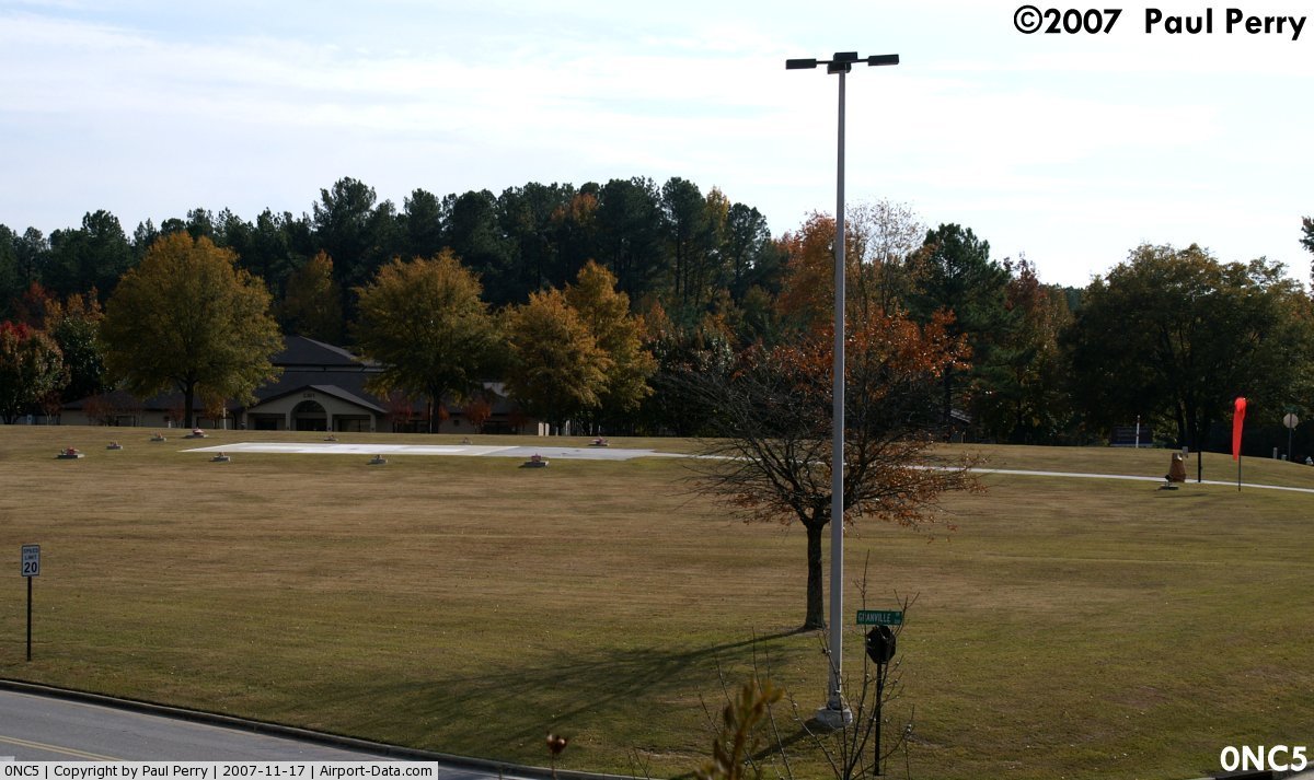
Nash General Hospital Heliport |
 |
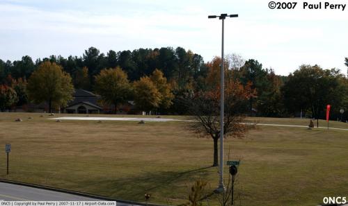
(Click on the photo to enlarge) |
 |
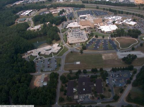
(Click on the photo to enlarge) |
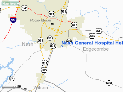
Location & QuickFacts
| FAA Information Effective: | 2008-09-25 |
| Airport Identifier: | 0NC5 |
| Airport Status: | Operational |
| Longitude/Latitude: | 077-47-21.0000W/35-55-08.0000N
-77.789167/35.918889 (Estimated) |
| Elevation: | 156 ft / 47.55 m (Estimated) |
| Land: | 0 acres |
| From nearest city: | 1 nautical miles N of Rocky Mount, NC |
| Location: | Nash County, NC |
| Magnetic Variation: | 08W (1985) |
Owner & Manager
| Ownership: | Privately owned |
| Owner: | Nash General Hospital |
| Address: | 2460 Curtis Ellis Drive
Rocky Mount, NC 27804 |
| Phone number: | 252-443-8332 |
| Manager: | David Harrell |
| Address: | 2460 Curtis Ellis Drive
Rocky Mount, NC 27804 |
| Phone number: | 252-827-4507 |
Airport Operations and Facilities
| Airport Use: | Private
MEDICAL. |
| Wind indicator: | Yes |
| Segmented Circle: | No |
| Control Tower: | No |
| Lighting Schedule: | PHONE REQ
FOR PERIMETER LGTS CALL 252-443-8055. |
| Landing fee charge: | No |
| Sectional chart: | Charlotte |
| Region: | ASO - Southern |
| Boundary ARTCC: | ZDC - Washington |
| Tie-in FSS: | RDU - Raleigh |
| FSS on Airport: | No |
| FSS Toll Free: | 1-800-WX-BRIEF |
Runway Information
Helipad H1
| Dimension: | 40 x 40 ft / 12.2 x 12.2 m |
| Surface: | CONC, |
| |
Runway H1 |
Runway |
| Traffic Pattern: | Left | Left |
|
Radio Navigation Aids
| ID |
Type |
Name |
Ch |
Freq |
Var |
Dist |
| PGV | FAN MARKER | Belvoir | | | 06W | 26.0 nm |
| ETC | NDB | Tarboro | | 257.00 | 08W | 11.9 nm |
| RW | NDB | Jambe | | 235.00 | 09W | 12.5 nm |
| AQE | NDB | Alwood | | 230.00 | 09W | 24.0 nm |
| JYN | NDB | Wayne | | 208.00 | 08W | 24.2 nm |
| MCZ | NDB | Williamston | | 336.00 | 09W | 30.0 nm |
| RZZ | NDB | Rapids | | 407.00 | 08W | 31.6 nm |
| EUU | NDB | Jnall | | 251.00 | 07W | 33.3 nm |
| ASJ | NDB | Ahoskie | | 415.00 | 10W | 37.6 nm |
| JN | NDB | Jurly | | 263.00 | 09W | 40.9 nm |
| RNW | NDB | Chocowinity | | 388.00 | 07W | 41.4 nm |
| AEA | NDB | Jones | | 373.00 | 09W | 43.7 nm |
| LE | NDB | Leevy | | 350.00 | 07W | 45.4 nm |
| ELQ | NDB | Emporia | | 261.00 | 10W | 45.6 nm |
| HXO | NDB | Huntsboro | | 271.00 | 07W | 46.3 nm |
| MBV | NDB | Mecklenburg/dcmsnd | | 356.00 | 08W | 48.3 nm |
| GSB | TACAN | Seymour Johnson | 112X | | 08W | 36.2 nm |
| TYI | VORTAC | Tar River | 125X | 117.80 | 05W | 5.4 nm |
| ISO | VORTAC | Kinston | 033X | 109.60 | 05W | 34.8 nm |
| RDU | VORTAC | Raleigh/durham | 119X | 117.20 | 04W | 48.5 nm |
Remarks
- PRVDD VFR OPNS, PVT USE, AREA IS MKD, WIND INDICATOR IS MAINTAINED.
Images and information placed above are from
http://www.airport-data.com/airport/0NC5/
We thank them for the data!
| General Info
|
| Country |
United States
|
| State |
NORTH CAROLINA
|
| FAA ID |
0NC5
|
| Latitude |
35-55-08.000N
|
| Longitude |
077-47-21.000W
|
| Elevation |
156 feet
|
| Near City |
ROCKY MOUNT
|
We don't guarantee the information is fresh and accurate. The data may
be wrong or outdated.
For more up-to-date information please refer to other sources.
|
|