|
|
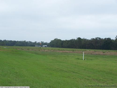 |
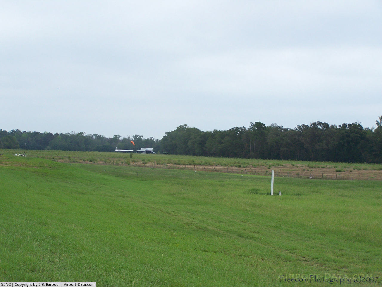
(Click on the photo to enlarge) |
Location & QuickFacts
| FAA Information Effective: | 2008-09-25 |
| Airport Identifier: | 53NC |
| Airport Status: | Operational |
| Longitude/Latitude: | 079-04-50.0000W/34-22-41.0000N
-79.080556/34.378056 (Estimated) |
| Elevation: | 95 ft / 28.96 m (Estimated) |
| Land: | 0 acres |
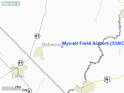
| From nearest city: | 12 nautical miles SW of Lumberton, NC |
| Location: | Robeson County, NC |
| Magnetic Variation: | 07W () |
Owner & Manager
| Ownership: | Privately owned |
| Owner: | Herbert M. Floyd |
| Address: | 3551 Buena Vista Road
Winston-salem, NC 27106-5735 |
| Phone number: | 336-748-8611 |
| Manager: | Herbert M. Floyd |
| Address: | 3551 Buena Vista Road
Winston-salem, NC 27106-5735 |
| Phone number: | 336-748-8611 |
Airport Operations and Facilities
| Airport Use: | Private |
| Wind indicator: | Yes |
| Segmented Circle: | No |
| Control Tower: | No |
| Sectional chart: | Charlotte |
| Region: | ASO - Southern |
| Boundary ARTCC: | ZDC - Washington |
| Tie-in FSS: | RDU - Raleigh |
| FSS Toll Free: | 1-800-WX-BRIEF |
Runway Information
Runway 08/26
| Dimension: | 2000 x 40 ft / 609.6 x 12.2 m |
| Surface: | TURF, |
| |
Runway 08 |
Runway 26 |
| Traffic Pattern: | Left | Left |
|
Radio Navigation Aids
| ID |
Type |
Name |
Ch |
Freq |
Var |
Dist |
| JB | NDB | Jigel | | 384.00 | 08W | 10.5 nm |
| RSY | NDB | Robeson | | 359.00 | 08W | 14.2 nm |
| DLC | NDB | Dillon | | 274.00 | 05W | 14.9 nm |
| MAO | NDB | Marion | | 388.00 | 06W | 17.1 nm |
| CPC | NDB | Camp | | 227.00 | 07W | 19.3 nm |
| ME | NDB | Maxtn | | 257.00 | 08W | 28.0 nm |
| TGQ | NDB | Elizabethtown | | 398.00 | 08W | 29.4 nm |
| HYW | NDB | Horry | | 370.00 | 08W | 33.4 nm |
| BES | NDB | Bennettsville | | 230.00 | 07W | 35.5 nm |
| UDG | NDB | Darlington | | 245.00 | 06W | 40.2 nm |
| RCZ | NDB | Roscoe | | 375.00 | 07W | 41.6 nm |
| HFF | NDB | Mackall | | 278.00 | 06W | 43.9 nm |
| CQW | NDB | Cheraw | | 409.00 | 05W | 44.6 nm |
| HEK | NDB | Stuckey | | 236.00 | 06W | 44.9 nm |
| CFY | NDB | Evans | | 420.00 | 06W | 46.3 nm |
| FGP | NDB | Fort Bragg | | 393.00 | 07W | 47.6 nm |
| POB | TACAN | Pope | 085X | | 07W | 47.1 nm |
| LBT | VOR | Lumberton | | 110.00 | 08W | 14.0 nm |
| FAY | VOR/DME | Fayetteville | 025X | 108.80 | 04W | 37.9 nm |
| FLO | VORTAC | Florence | 099X | 115.20 | 03W | 29.9 nm |
| CRE | VORTAC | Grand Strand | 123X | 117.60 | 03W | 38.3 nm |
Remarks
Images and information placed above are from
http://www.airport-data.com/airport/53NC/
We thank them for the data!
| General Info
|
| Country |
United States
|
| State |
NORTH CAROLINA
|
| FAA ID |
53NC
|
| Latitude |
34-22-41.000N
|
| Longitude |
079-04-50.000W
|
| Elevation |
95 feet
|
| Near City |
LUMBERTON
|
We don't guarantee the information is fresh and accurate. The data may
be wrong or outdated.
For more up-to-date information please refer to other sources.
|
|