|
|
 |
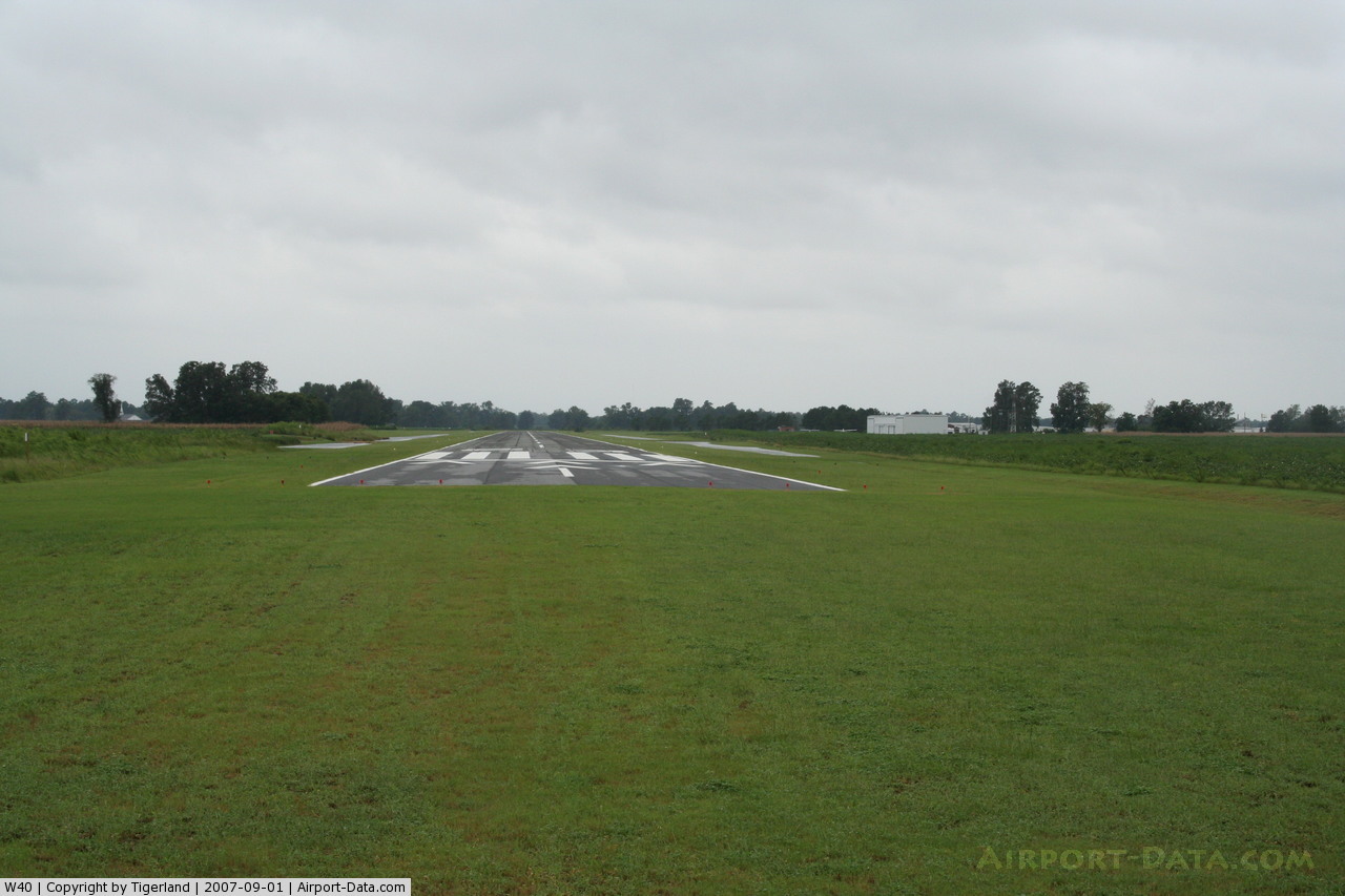
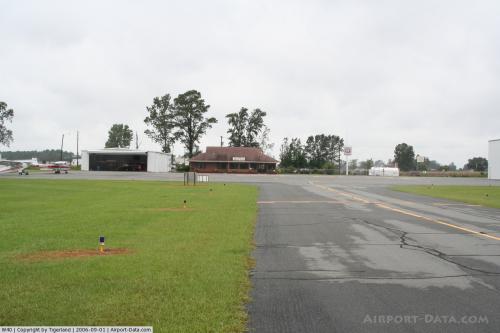
(Click on the photo to enlarge) |
 |
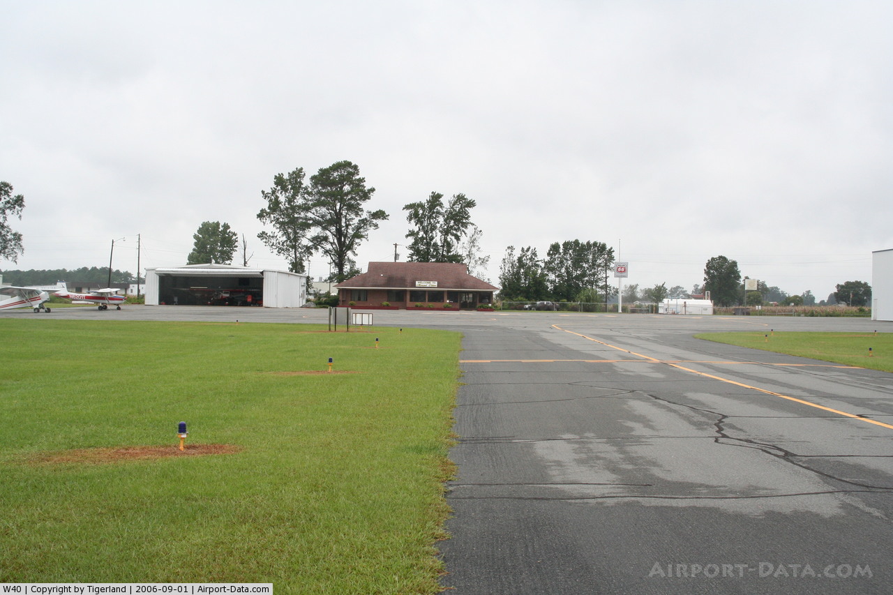
(Click on the photo to enlarge) |
Location & QuickFacts
| FAA Information Effective: | 2008-09-25 |
| Airport Identifier: | W40 |
| Airport Status: | Operational |
| Longitude/Latitude: | 078-02-15.1000W/35-13-21.0300N
-78.037528/35.222508 (Estimated) |
| Elevation: | 168 ft / 51.21 m (Surveyed) |
| Land: | 71 acres |
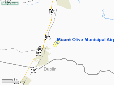
| From nearest city: | 3 nautical miles NE of Mount Olive, NC |
| Location: | Wayne County, NC |
| Magnetic Variation: | 07W (1980) |
Owner & Manager
| Ownership: | Publicly owned |
| Owner: | Mt Olive And Wayne Company |
| Address: | Po Box 939
Mt Olive, NC 28365 |
| Phone number: | 919-635-1471 |
| Manager: | Michael Bass |
| Address: | 227 Mt Olive Airport Road
Mt Olive, NC 28365 |
| Phone number: | 919-635-1471 |
Airport Operations and Facilities
| Airport Use: | Open to public |
| Wind indicator: | Yes |
| Segmented Circle: | Yes |
| Control Tower: | No |
| Lighting Schedule: | DUSK-DAWN |
| Beacon Color: | Clear-Green (lighted land airport)
ROTG BCN OTS INDEFLY. |
| Landing fee charge: | No |
| Sectional chart: | Charlotte |
| Region: | ASO - Southern |
| Boundary ARTCC: | ZDC - Washington |
| Tie-in FSS: | RDU - Raleigh |
| FSS on Airport: | No |
| FSS Toll Free: | 1-800-WX-BRIEF |
| NOTAMs Facility: | RDU (NOTAM-d service avaliable) |
| Federal Agreements: | NGY |
Airport Communications
| CTAF: | 122.800 |
| Unicom: | 122.800 |
Airport Services
| Fuel available: | 100LL |
| Airframe Repair: | MAJOR |
| Power Plant Repair: | MINOR |
| Bottled Oxygen: | NONE |
| Bulk Oxygen: | NONE |
Runway Information
Runway 05/23
| Dimension: | 4251 x 75 ft / 1295.7 x 22.9 m |
| Surface: | ASPH, Good Condition |
| Weight Limit: | Single wheel: 20000 lbs. |
| Edge Lights: | Medium |
| |
Runway 05 |
Runway 23 |
| Longitude: | 078-02-31.6600W | 078-01-58.5400W |
| Latitude: | 35-13-04.9900N | 35-13-37.0700N |
| Elevation: | 166.00 ft | 166.00 ft |
| Alignment: | 40 | 127 |
| Traffic Pattern: | Left | Left |
| Markings: | Non-precision instrument, Good Condition | Non-precision instrument, Good Condition |
| Crossing Height: | 40.00 ft | 34.00 ft |
| Displaced threshold: | 0.00 ft | 254.00 ft |
| VASI: | 4-light PAPI on left side | 4-light PAPI on left side |
| Visual Glide Angle: | 3.50° | 3.00° |
| Obstruction: | , 50:1 slope to clear
+4 FT GND 0-200 FT FROM THLD 110 FT RIGHT OF CNTRLN. | 14 ft road, 342.0 ft from runway, 140L/ ft right of centerline, 10:1 slope to clear
RWY 23 APCH SLOPE 42:1 TO DSPLCD THR.
+8' CROPS 45' RIGHT & LEFT OF CNTRLN 0-200' FROM THR. |
|
Radio Navigation Aids
| ID |
Type |
Name |
Ch |
Freq |
Var |
Dist |
| PGV | FAN MARKER | Belvoir | | | 06W | 40.7 nm |
| DKA | NDB | Kenan | | 332.00 | 07W | 10.7 nm |
| JYN | NDB | Wayne | | 208.00 | 08W | 19.4 nm |
| CTZ | NDB | Clinton | | 412.00 | 08W | 21.8 nm |
| JN | NDB | Jurly | | 263.00 | 09W | 24.3 nm |
| EUU | NDB | Jnall | | 251.00 | 07W | 27.8 nm |
| ACZ | NDB | Pendy | | 379.00 | 09W | 30.5 nm |
| RW | NDB | Jambe | | 235.00 | 09W | 33.0 nm |
| HQT | NDB | Harnett | | 417.00 | 08W | 33.7 nm |
| FGP | NDB | Fort Bragg | | 393.00 | 07W | 38.4 nm |
| NCA | NDB | New River | | 356.00 | 08W | 42.5 nm |
| AQE | NDB | Alwood | | 230.00 | 09W | 43.7 nm |
| POB | NDB | Pope | | 338.00 | 07W | 45.0 nm |
| TGQ | NDB | Elizabethtown | | 398.00 | 08W | 47.9 nm |
| RNW | NDB | Chocowinity | | 388.00 | 07W | 48.8 nm |
| ETC | NDB | Tarboro | | 257.00 | 08W | 49.1 nm |
| DIW | NDB/DME | Dixon | 107X | 198.00 | 08W | 48.7 nm |
| GSB | TACAN | Seymour Johnson | 112X | | 08W | 7.5 nm |
| NCA | TACAN | New River | 101X | | 08W | 42.7 nm |
| POB | TACAN | Pope | 085X | | 07W | 48.5 nm |
| FAY | VOR/DME | Fayetteville | 025X | 108.80 | 04W | 43.6 nm |
| EWN | VOR/DME | New Bern | 083X | 113.60 | 08W | 49.6 nm |
| ISO | VORTAC | Kinston | 033X | 109.60 | 05W | 25.1 nm |
| TYI | VORTAC | Tar River | 125X | 117.80 | 05W | 48.2 nm |
Remarks
- +8' CORN FIELDS SURROUND ARPT 300' FROM RWY THRESHOLDS IN SUMMER MONTHS.
- RWY 05 +200' AM RADIO TWR APPROX 6000' SW OF RWY END ON CNTRLN.
- LOW-LEVEL MILITARY ACTVTY NEAR AIRPORT.
- -5' DRAINAGE DITCH 100' LEFT OF CNTRLN OF RWY 5.
- FOR COLLISION AVOIDANCE CONTACT SEYMOUR AFB 119.7
- VFR OPERATIONS ONLY.
Images and information placed above are from
http://www.airport-data.com/airport/W40/
We thank them for the data!
| General Info
|
| Country |
United States
|
| State |
NORTH CAROLINA
|
| FAA ID |
W40
|
| Latitude |
35-13-20.090N
|
| Longitude |
078-02-16.060W
|
| Elevation |
168 feet
|
| Near City |
MOUNT OLIVE
|
We don't guarantee the information is fresh and accurate. The data may
be wrong or outdated.
For more up-to-date information please refer to other sources.
|
|