|
|
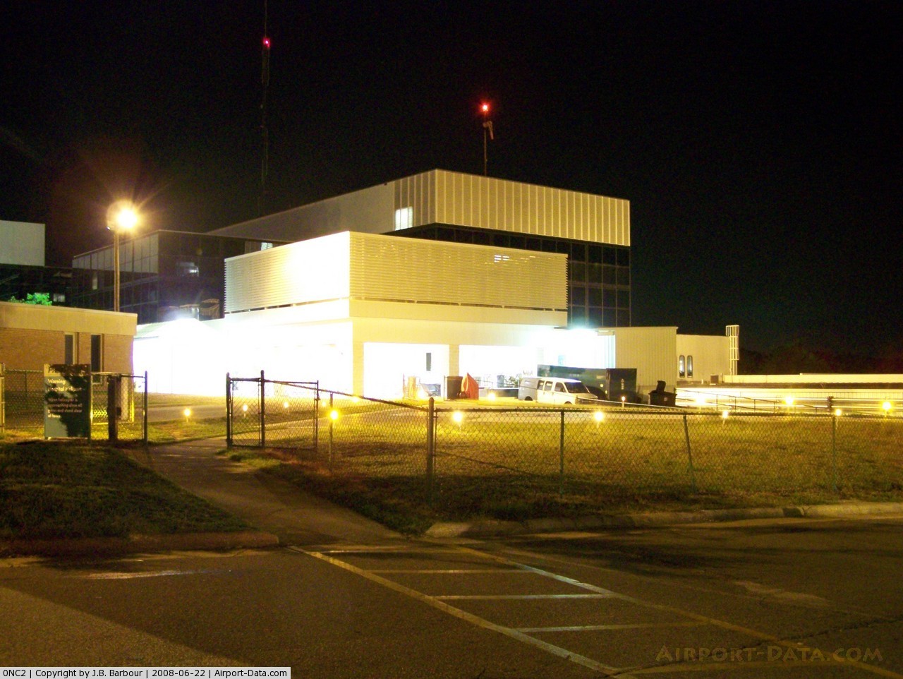
Moore Rgnl Hospital Heliport |
 |
(Click on the photo to enlarge) |
Location & QuickFacts
| FAA Information Effective: | 2008-09-25 |
| Airport Identifier: | 0NC2 |
| Airport Status: | Operational |
| Longitude/Latitude: | 079-27-24.1130W/35-12-17.5640N
-79.456698/35.204879 (Estimated) |
| Elevation: | 460 ft / 140.21 m (Estimated) |
| Land: | 0 acres |
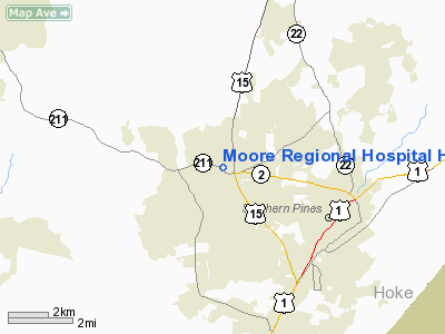
| From nearest city: | 10 nautical miles E of Pinehurst, NC |
| Location: | Moore County, NC |
| Magnetic Variation: | 06W (1985) |
Owner & Manager
| Ownership: | Privately owned |
| Owner: | Moore Regional Hospital |
| Address: | C/o Max Muse; 3000 Page Road
Pinehurst, NC 28374 |
| Phone number: | 919-215-1000 |
| Manager: | Max Muse |
| Address: | 3000 Page Road
Pinehurst, NC 28374 |
| Phone number: | 910-215-1140 |
Airport Operations and Facilities
| Airport Use: | Private
MEDICAL. |
| Wind indicator: | Yes |
| Segmented Circle: | No |
| Control Tower: | No |
| Lighting Schedule: | DUSK-DAWN
ACTVT STROBE LIGHT & WINDSOCK - 123.05. |
| Beacon Color: | Clear-Yellow (lighted seaplan base) |
| Landing fee charge: | No |
| Sectional chart: | Charlotte |
| Region: | ASO - Southern |
| Boundary ARTCC: | ZDC - Washington |
| Tie-in FSS: | RDU - Raleigh |
| FSS on Airport: | No |
| FSS Toll Free: | 1-800-WX-BRIEF |
Airport Communications
Runway Information
Helipad H1
| Dimension: | 78 x 65 ft / 23.8 x 19.8 m |
| Surface: | CONC, |
| |
Runway H1 |
Runway |
| Traffic Pattern: | Left | Left |
|
Radio Navigation Aids
| ID |
Type |
Name |
Ch |
Freq |
Var |
Dist |
| HFF | NDB | Mackall | | 278.00 | 06W | 10.7 nm |
| EEJ | NDB | Lee County/dcmsnd | | 428.00 | 07W | 15.3 nm |
| TT | NDB | Leeco | | 406.00 | 08W | 23.5 nm |
| RCZ | NDB | Roscoe | | 375.00 | 07W | 24.2 nm |
| POB | NDB | Pope | | 338.00 | 07W | 24.7 nm |
| ME | NDB | Maxtn | | 257.00 | 08W | 28.3 nm |
| FGP | NDB | Fort Bragg | | 393.00 | 07W | 31.9 nm |
| AFP | NDB | Anson County | | 283.00 | 07W | 32.7 nm |
| TOX | NDB | Siler City | | 371.00 | 07W | 33.5 nm |
| CQW | NDB | Cheraw | | 409.00 | 05W | 34.4 nm |
| VU | NDB | Aller | | 346.00 | 06W | 35.0 nm |
| CQJ | NDB | City Lake | | 266.00 | 08W | 36.7 nm |
| BES | NDB | Bennettsville | | 230.00 | 07W | 37.7 nm |
| RSY | NDB | Robeson | | 359.00 | 08W | 40.6 nm |
| HQT | NDB | Harnett | | 417.00 | 08W | 40.7 nm |
| JB | NDB | Jigel | | 384.00 | 08W | 42.6 nm |
| DLC | NDB | Dillon | | 274.00 | 05W | 45.6 nm |
| HB | NDB | Himun | | 361.00 | 08W | 46.9 nm |
| POB | TACAN | Pope | 085X | | 07W | 21.6 nm |
| LBT | VOR | Lumberton | | 110.00 | 08W | 40.8 nm |
| FAY | VOR/DME | Fayetteville | 025X | 108.80 | 04W | 31.5 nm |
| SDZ | VORTAC | Sandhills | 055X | 111.80 | 03W | 6.5 nm |
| LIB | VORTAC | Liberty | 077X | 113.00 | 03W | 37.3 nm |
Remarks
- VFR, PVT USE, COORD USE OF HELI WITH RALEIGH GADO.
Images and information placed above are from
http://www.airport-data.com/airport/0NC2/
We thank them for the data!
| General Info
|
| Country |
United States
|
| State |
NORTH CAROLINA
|
| FAA ID |
0NC2
|
| Latitude |
35-12-17.564N
|
| Longitude |
079-27-24.113W
|
| Elevation |
460 feet
|
| Near City |
PINEHURST
|
We don't guarantee the information is fresh and accurate. The data may
be wrong or outdated.
For more up-to-date information please refer to other sources.
|
|