|
|
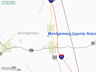
Montgomery County Airport |
| Montgomery County Airport |
| IATA: none – ICAO: none – FAA LID: 43A |
| Summary |
| Airport type |
Public |
| Owner/Operator |
Montgomery County |
| Location |
Star, North Carolina |
| Elevation AMSL |
628 ft / 191 m |
| Coordinates |
35°23′05″N 079°47′25″W / 35.38472°N 79.79028°W / 35.38472; -79.79028 |
| Runways |
| Direction |
Length |
Surface |
| ft |
m |
| 3/21 |
4,001 |
1,220 |
Asphalt |
| Statistics (2007) |
| Aircraft operations |
4,800 |
| Based aircraft |
16 |
| Source: Federal Aviation Administration |
Montgomery County Airport (FAA LID: 43A) is a public use airport located in Star, a city in Montgomery County, North Carolina, United States. It is owned and operated by Montgomery County.
Facilities and aircraft
Montgomery County Airport covers an area of 65 acres (26 ha) at an elevation of 628 feet (191 m) above mean sea level. It has one asphalt paved runway designated 3/21 which measures 4,001 by 75 feet (1,220 x 23 m).
For the 12-month period ending August 29, 2007, the airport had 4,800 aircraft operations, an average of 13 per day: 69% general aviation and 31% military. At that time there were 16 aircraft based at this airport: 69% single-engine and 31% multi-engine.
The above content comes from Wikipedia and is published under free licenses – click here to read more.
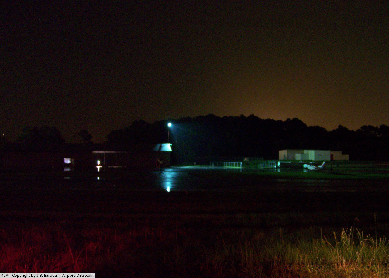
 |
(Click on the photo to enlarge) |
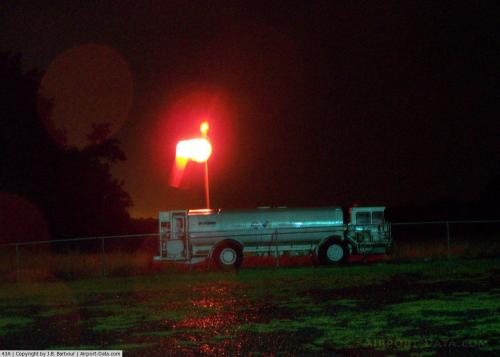
 |
(Click on the photo to enlarge) |
Location & QuickFacts
| FAA Information Effective: | 2008-09-25 |
| Airport Identifier: | 43A |
| Airport Status: | Operational |
| Longitude/Latitude: | 079-47-24.9435W/35-23-04.7560N
-79.790262/35.384654 (Estimated) |
| Elevation: | 628 ft / 191.41 m (Surveyed) |
| Land: | 65 acres |
| From nearest city: | 0 nautical miles NE of Star, NC |
| Location: | Montgomery County, NC |
| Magnetic Variation: | 06W (1985) |
Owner & Manager
| Ownership: | Publicly owned |
| Owner: | Montgomery County |
| Address: | Po Box 425
Troy, NC 27371 |
| Phone number: | 910-576-4221 |
| Manager: | Don Bennett |
| Address: | 262 Airport Road
Star, NC 27356 |
| Phone number: | 910-428-9882
ARPT PHONE 910-428-9882. |
Airport Operations and Facilities
| Airport Use: | Open to public |
| Wind indicator: | Yes |
| Segmented Circle: | Yes |
| Control Tower: | No |
| Lighting Schedule: | DUSK-DAWN |
| Beacon Color: | Clear-Green (lighted land airport) |
| Landing fee charge: | No |
| Sectional chart: | Charlotte |
| Region: | ASO - Southern |
| Boundary ARTCC: | ZDC - Washington |
| Responsible ARTCC: | ZTL - Atlanta |
| Tie-in FSS: | RDU - Raleigh |
| FSS on Airport: | No |
| FSS Toll Free: | 1-800-WX-BRIEF |
| NOTAMs Facility: | RDU (NOTAM-d service avaliable) |
| Federal Agreements: | NY1 |
Airport Communications
| CTAF: | 122.800 |
| Unicom: | 122.800 |
Airport Services
| Fuel available: | 100LLA |
| Airframe Repair: | MAJOR |
| Power Plant Repair: | MAJOR |
| Bottled Oxygen: | NONE |
| Bulk Oxygen: | NONE |
Runway Information
Runway 03/21
| Dimension: | 4001 x 75 ft / 1219.5 x 22.9 m |
| Surface: | ASPH, Good Condition |
| Weight Limit: | Single wheel: 11400 lbs. |
| Edge Lights: | Medium |
| |
Runway 03 |
Runway 21 |
| Longitude: | 079-47-33.7770W | 079-47-16.1100W |
| Latitude: | 35-22-46.3330N | 35-23-23.1790N |
| Elevation: | 572.00 ft | 632.00 ft |
| Traffic Pattern: | Left | Left |
| Markings: | Basic, Good Condition | Basic, Good Condition |
| Displaced threshold: | 0.00 ft | 460.00 ft |
| Runway End Identifier: | No | No |
| Centerline Lights: | No | No |
| Touchdown Lights: | No | No |
| Obstruction: | 33 ft trees, 878.0 ft from runway, 89 ft left of centerline, 20:1 slope to clear | 37 ft trees, 323.0 ft from runway, 126 ft left of centerline, 3:1 slope to clear |
|
Radio Navigation Aids
| ID |
Type |
Name |
Ch |
Freq |
Var |
Dist |
| VU | NDB | Aller | | 346.00 | 06W | 15.5 nm |
| CQJ | NDB | City Lake | | 266.00 | 08W | 20.3 nm |
| AFP | NDB | Anson County | | 283.00 | 07W | 26.0 nm |
| HFF | NDB | Mackall | | 278.00 | 06W | 26.1 nm |
| TOX | NDB | Siler City | | 371.00 | 07W | 27.8 nm |
| EEJ | NDB | Lee County/dcmsnd | | 428.00 | 07W | 27.8 nm |
| RCZ | NDB | Roscoe | | 375.00 | 07W | 32.3 nm |
| TT | NDB | Leeco | | 406.00 | 08W | 32.6 nm |
| SEN | NDB | Swearing/dcmsnd | | 260.00 | 06W | 34.4 nm |
| HB | NDB | Himun | | 361.00 | 08W | 37.1 nm |
| CQW | NDB | Cheraw | | 409.00 | 05W | 38.8 nm |
| RU | NDB | Rovdy | | 275.00 | 06W | 40.1 nm |
| POB | NDB | Pope | | 338.00 | 07W | 42.1 nm |
| ME | NDB | Maxtn | | 257.00 | 08W | 42.7 nm |
| DVZ | NDB | Davie | | 354.00 | 06W | 45.5 nm |
| BES | NDB | Bennettsville | | 230.00 | 07W | 46.0 nm |
| PYG | NDB | Pageland | | 270.00 | 06W | 47.0 nm |
| POB | TACAN | Pope | 085X | | 07W | 40.1 nm |
| SDZ | VORTAC | Sandhills | 055X | 111.80 | 03W | 14.2 nm |
| LIB | VORTAC | Liberty | 077X | 113.00 | 03W | 27.1 nm |
| GSO | VORTAC | Greensboro | 109X | 116.20 | 03W | 40.8 nm |
Remarks
- DEER OCCASIONALLY ON RWY.
- 40 FT PLINE 350-750 FT FM THLD RY 21 ACROSS & L OF CNTRLN.
- 20-25 FT DEPRESSED AREA 180 FT S OF RY 03 THLD ON CNTRLN.
- RY 03 HAS UPHILL GRADE.
- VFR OPERATIONS ONLY.
Images and information placed above are from
http://www.airport-data.com/airport/43A/
We thank them for the data!
| General Info
|
| Country |
United States
|
| State |
NORTH CAROLINA
|
| FAA ID |
43A
|
| Latitude |
35-23-17.503N
|
| Longitude |
079-47-34.140W
|
| Elevation |
628 feet
|
| Near City |
STAR
|
We don't guarantee the information is fresh and accurate. The data may
be wrong or outdated.
For more up-to-date information please refer to other sources.
|
|