|
|
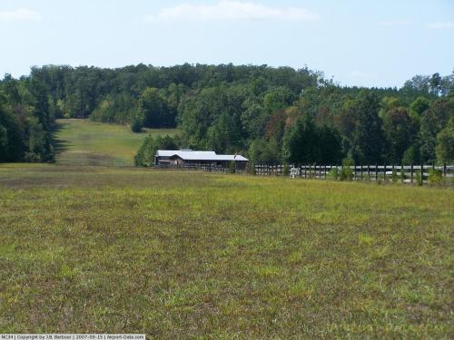 |
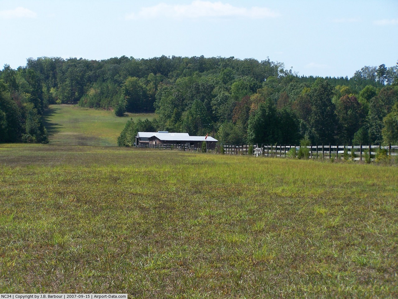
(Click on the photo to enlarge) |
Location & QuickFacts
| FAA Information Effective: | 2008-09-25 |
| Airport Identifier: | NC34 |
| Airport Status: | Operational |
| Longitude/Latitude: | 079-07-29.0460W/35-58-13.5090N
-79.124735/35.970419 (Estimated) |
| Elevation: | 580 ft / 176.78 m (Estimated) |
| Land: | 34 acres |
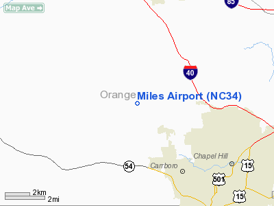
| From nearest city: | 5 nautical miles NW of Chapel Hill, NC |
| Location: | Orange County, NC |
| Magnetic Variation: | 07W (1985) |
Owner & Manager
| Ownership: | Privately owned |
| Owner: | Michael G. Miles |
| Address: | 6721 Union Grove Church Rd
Hillsborough, NC 27278-7407 |
| Phone number: | 919-967-5458 |
| Manager: | Michael G. Miles |
| Address: | 6721 Union Grove Church Rd
Hillsborough, NC 27278 |
| Phone number: | 919-967-5458 |
Airport Operations and Facilities
| Airport Use: | Private |
| Wind indicator: | Yes |
| Segmented Circle: | No |
| Control Tower: | No |
| Sectional chart: | Charlotte |
| Region: | ASO - Southern |
| Boundary ARTCC: | ZDC - Washington |
| Tie-in FSS: | RDU - Raleigh |
| FSS Toll Free: | 1-800-WX-BRIEF |
Runway Information
Runway 09/27
| Dimension: | 2500 x 120 ft / 762.0 x 36.6 m |
| Surface: | TURF, |
| |
Runway 09 |
Runway 27 |
| Traffic Pattern: | Left | Right |
| Displaced threshold: | 300.00 ft | 0.00 ft |
| Obstruction: | 70 ft trees, 50.0 ft from runway | 40 ft trees, 100.0 ft from runway |
|
Radio Navigation Aids
| ID |
Type |
Name |
Ch |
Freq |
Var |
Dist |
| OQA | FAN MARKER | Rockingham County | | | | 43.8 nm |
| HUR | NDB | Person | | 220.00 | 08W | 16.1 nm |
| LE | NDB | Leevy | | 350.00 | 07W | 19.8 nm |
| TOX | NDB | Siler City | | 371.00 | 07W | 20.7 nm |
| HB | NDB | Himun | | 361.00 | 08W | 22.4 nm |
| TT | NDB | Leeco | | 406.00 | 08W | 28.4 nm |
| HXO | NDB | Huntsboro | | 271.00 | 07W | 31.6 nm |
| EEJ | NDB | Lee County/dcmsnd | | 428.00 | 07W | 36.2 nm |
| HQT | NDB | Harnett | | 417.00 | 08W | 39.0 nm |
| CQJ | NDB | City Lake | | 266.00 | 08W | 39.2 nm |
| SIF | NDB | Slammer | | 423.00 | 07W | 39.7 nm |
| EUU | NDB | Jnall | | 251.00 | 07W | 43.5 nm |
| JN | NDB | Jurly | | 263.00 | 09W | 45.3 nm |
| POB | NDB | Pope | | 338.00 | 07W | 45.5 nm |
| POB | TACAN | Pope | 085X | | 07W | 49.0 nm |
| DAN | VOR | Danville | | 113.10 | 06W | 37.4 nm |
| RDU | VORTAC | Raleigh/durham | 119X | 117.20 | 04W | 17.6 nm |
| LIB | VORTAC | Liberty | 077X | 113.00 | 03W | 25.6 nm |
| GSO | VORTAC | Greensboro | 109X | 116.20 | 03W | 41.7 nm |
| SBV | VORTAC | South Boston | 041X | 110.40 | 05W | 42.7 nm |
Remarks
- VFR PROVATE USE; TRAFFIC PATTERN NORTH OF RWY
Images and information placed above are from
http://www.airport-data.com/airport/NC34/
We thank them for the data!
| General Info
|
| Country |
United States
|
| State |
NORTH CAROLINA
|
| FAA ID |
NC34
|
| Latitude |
35-58-13.509N
|
| Longitude |
079-07-29.046W
|
| Elevation |
580 feet
|
| Near City |
CHAPEL HILL
|
We don't guarantee the information is fresh and accurate. The data may
be wrong or outdated.
For more up-to-date information please refer to other sources.
|
|