|
|
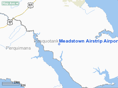
Meadstown Airstrip Airport |
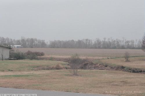 |
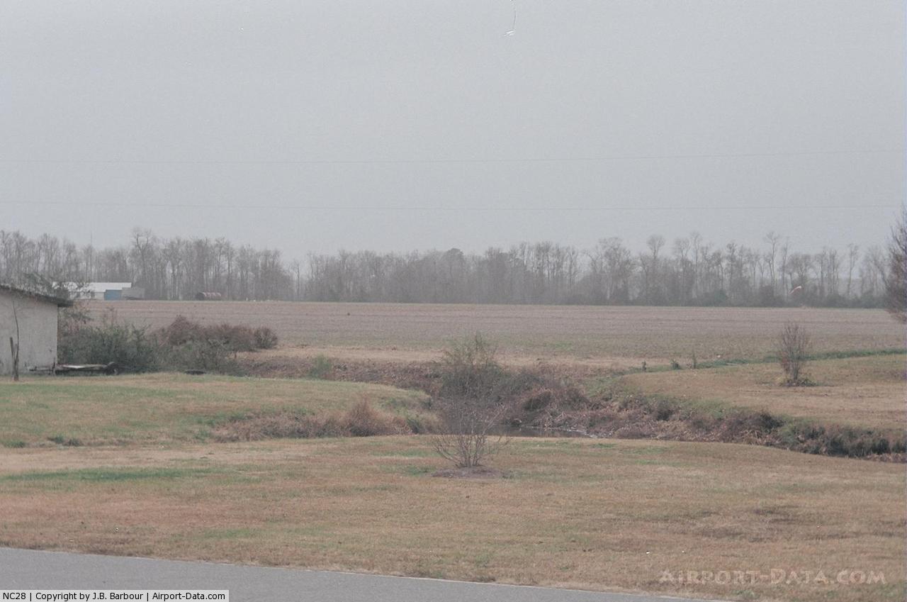
(Click on the photo to enlarge) |
Location & QuickFacts
| FAA Information Effective: | 2008-09-25 |
| Airport Identifier: | NC28 |
| Airport Status: | Operational |
| Longitude/Latitude: | 076-14-08.7600W/36-12-00.5690N
-76.235767/36.200158 (Estimated) |
| Elevation: | 7 ft / 2.13 m (Surveyed) |
| Land: | 0 acres |
| From nearest city: | 6 nautical miles S of Elizabeth City, NC |
| Location: | Pasquotank County, NC |
| Magnetic Variation: | 09W (1985) |
Owner & Manager
| Ownership: | Privately owned |
| Owner: | Herman R. Meads |
| Address: | 846 Halstead Blvd
Elizabeth City, NC 27909 |
| Phone number: | 252-330-4103 |
| Manager: | Meads Air Service |
| Address: | 1752 Nixonton Blvd
Elizabeth City, NC 27909 |
| Phone number: | 252-331-1605 |
Airport Operations and Facilities
| Airport Use: | Private |
| Wind indicator: | Yes |
| Segmented Circle: | No |
| Control Tower: | No |
| Landing fee charge: | No |
| Sectional chart: | Washington |
| Region: | ASO - Southern |
| Boundary ARTCC: | ZDC - Washington |
| Tie-in FSS: | RDU - Raleigh |
| FSS on Airport: | No |
| FSS Toll Free: | 1-800-WX-BRIEF |
Airport Services
| Fuel available: | 100 |
| Airframe Repair: | NONE |
| Power Plant Repair: | NONE |
Runway Information
Runway N/S
| Dimension: | 3600 x 150 ft / 1097.3 x 45.7 m |
| Surface: | TURF, |
| |
Runway N |
Runway S |
| Traffic Pattern: | Left | Left |
|
Radio Navigation Aids
| ID |
Type |
Name |
Ch |
Freq |
Var |
Dist |
| LLW | NDB | Woodville | | 254.00 | 10W | 4.8 nm |
| EDE | NDB | Edenton | | 265.00 | 10W | 19.2 nm |
| EY | NDB | Chesi | | 233.00 | 09W | 25.0 nm |
| RK | NDB | Waley | | 249.00 | 10W | 31.2 nm |
| MQI | NDB | Manteo | | 370.00 | 09W | 31.4 nm |
| PMZ | NDB | Plymouth | | 221.00 | 10W | 34.7 nm |
| PVG | NDB | Portsmouth | | 241.00 | 10W | 36.3 nm |
| ASJ | NDB | Ahoskie | | 415.00 | 10W | 45.9 nm |
| NTU | TACAN | Oceana | 113X | | 10W | 38.7 nm |
| NGU | TACAN | Chambers | 048X | | 10W | 44.5 nm |
| ECG | VOR/DME | Elizabeth City | 072X | 112.50 | 07W | 4.5 nm |
| RBX | VOR/DME | Wright Brothers | 053X | 111.60 | 08W | 31.1 nm |
| CVI | VORTAC | Cofield | 093X | 114.60 | 09W | 32.5 nm |
| ORF | VORTAC | Norfolk | 116X | 116.90 | 07W | 41.6 nm |
| FKN | VORTAC | Franklin | 043X | 110.60 | 09W | 48.6 nm |
Remarks
Images and information placed above are from
http://www.airport-data.com/airport/NC28/
We thank them for the data!
| General Info
|
| Country |
United States
|
| State |
NORTH CAROLINA
|
| FAA ID |
NC28
|
| Latitude |
36-12-00.569N
|
| Longitude |
076-14-08.760W
|
| Elevation |
7 feet
|
| Near City |
ELIZABETH CITY
|
We don't guarantee the information is fresh and accurate. The data may
be wrong or outdated.
For more up-to-date information please refer to other sources.
|
|