|
|
| Lumberton Municipal Airport |
 |
| IATA: LBT – ICAO: KLBT – FAA LID: LBT |
| Summary |
| Airport type |
Public |
| Operator |
City of Lumberton |
| Location |
Lumberton, North Carolina |
| Elevation AMSL |
126 ft / 38.4 m |
| Coordinates |
34°36′36″N 079°03′34″W / 34.61°N 79.05944°W / 34.61; -79.05944Coordinates: 34°36′36″N 079°03′34″W / 34.61°N 79.05944°W / 34.61; -79.05944 |
| Runways |
| Direction |
Length |
Surface |
| ft |
m |
| 5/23 |
5,510 |
1,679 |
Asphalt |
| 13/31 |
4,998 |
1,523 |
Asphalt |
Lumberton Municipal Airport (IATA: LBT, ICAO: KLBT, FAA LID: LBT) is a public airport located three miles (5 km) west of the central business district (CBD) of Lumberton, a city in Robeson County, North Carolina, USA. This general aviation airport covers 485 acres (196 ha) and has two runways.
The above content comes from Wikipedia and is published under free licenses – click here to read more.
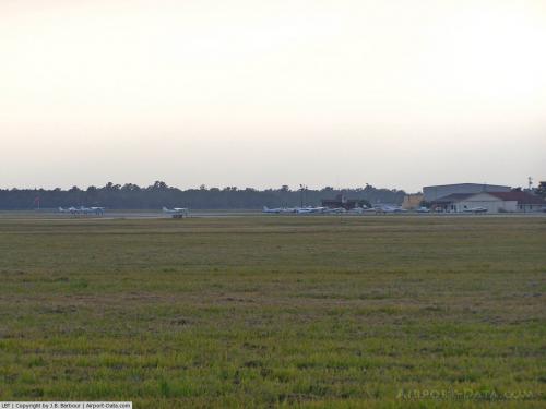 |
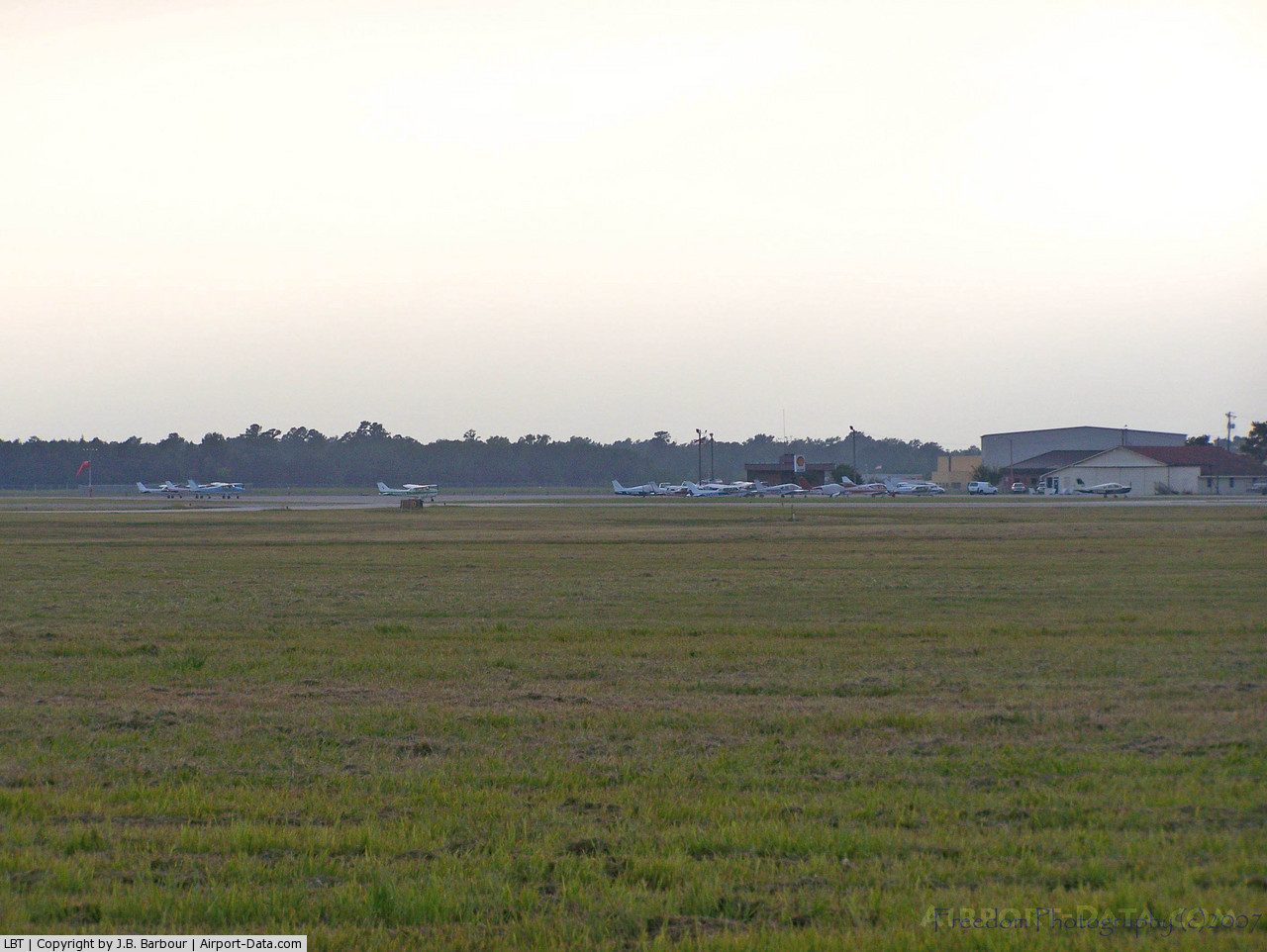
(Click on the photo to enlarge) |
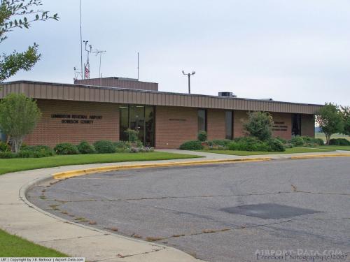 |
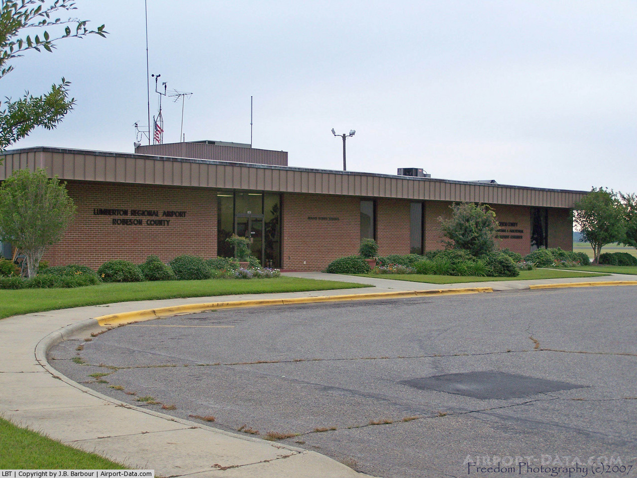
(Click on the photo to enlarge) |
Location & QuickFacts
| FAA Information Effective: | 2008-09-25 |
| Airport Identifier: | LBT |
| Airport Status: | Operational |
| Longitude/Latitude: | 079-03-34.0000W/34-36-35.7000N
-79.059444/34.609917 (Estimated) |
| Elevation: | 126 ft / 38.40 m (Estimated) |
| Land: | 485 acres |
| From nearest city: | 3 nautical miles W of Lumberton, NC |
| Location: | Robeson County, NC |
| Magnetic Variation: | 08W (2000) |
Owner & Manager
| Ownership: | Publicly owned |
| Owner: | City Of Lumberton |
| Address: | P. O. Box 1388
Lumberton, NC 28359 |
| Phone number: | 910-671-3800 |
| Manager: | Lee Hester, Arpt Cmsn
CONTACT PERSON LEE HESTER. |
| Address: | 163 Airport Blvd
Lumberton, NC 28358 |
| Phone number: | 919-733-6692
ARPT PHONE 910-739-6480. |
Airport Operations and Facilities
| Airport Use: | Open to public |
| Wind indicator: | Yes |
| Segmented Circle: | Yes |
| Control Tower: | No |
| Lighting Schedule: | DUSK-DAWN
MIRL RY 05/23 PRESET LOW INTST; TO INCR INTST & ACTVT REIL & VASI RYS 05 & 23 - CTAF. |
| Beacon Color: | Clear-Green (lighted land airport) |
| Landing fee charge: | No |
| Sectional chart: | Charlotte |
| Region: | ASO - Southern |
| Boundary ARTCC: | ZDC - Washington |
| Tie-in FSS: | RDU - Raleigh |
| FSS on Airport: | No |
| FSS Toll Free: | 1-800-WX-BRIEF |
| NOTAMs Facility: | LBT (NOTAM-d service avaliable) |
| Federal Agreements: | NGY3 |
Airport Communications
| CTAF: | 122.800 |
| Unicom: | 122.800 |
Airport Services
| Fuel available: | 100LLA1+
FOR FUEL AFTER HRS CALL 910-618-9958. |
| Airframe Repair: | MAJOR |
| Power Plant Repair: | MAJOR |
| Bottled Oxygen: | NONE |
| Bulk Oxygen: | NONE |
Runway Information
Runway 05/23
| Dimension: | 5510 x 150 ft / 1679.4 x 45.7 m |
| Surface: | ASPH, |
| Pavement Class: | 100/F/B/Y/T |
| Weight Limit: | Single wheel: 15000 lbs. |
| Edge Lights: | Medium |
| |
Runway 05 |
Runway 23 |
| Longitude: | 079-04-02.4000W | 079-03-15.7000W |
| Latitude: | 34-36-15.3500N | 34-36-53.8200N |
| Elevation: | 124.00 ft | 123.00 ft |
| Alignment: | 45 | 127 |
| ILS Type: | ILS
| |
| Traffic Pattern: | Left | Left |
| Markings: | Precision instrument, Good Condition | Precision instrument, Good Condition |
| Crossing Height: | 45.00 ft | 45.00 ft |
| Displaced threshold: | 170.00 ft | 0.00 ft |
| VASI: | 4-light PAPI on left side | 4-box on left side |
| Visual Glide Angle: | 3.00° | 3.00° |
| Runway End Identifier: | Yes
RY 05 REIL OTS INDEFLY. | Yes |
| Obstruction: | 105 ft trees, 2910.0 ft from runway, 720 ft right of centerline, 25:1 slope to clear
APCH RATIO 28:1 AT DSPLCD THR FROM 88' TREES 2713', 682' RIGHT. | 34 ft trees, 613.0 ft from runway, 233 ft left of centerline, 12:1 slope to clear
HAS 50 FT TREES 300 FT LEFT; 0-200 FM THLD. |
|
Runway 13/31
| Dimension: | 4998 x 150 ft / 1523.4 x 45.7 m |
| Surface: | ASPH, |
| Weight Limit: | Single wheel: 8000 lbs. |
| |
Runway 13 |
Runway 31 |
| Longitude: | 079-03-53.8100W | 079-03-04.7900W |
| Latitude: | 34-36-50.2700N | 34-36-21.9400N |
| Elevation: | 122.00 ft | 124.00 ft |
| Alignment: | 125 | 127 |
| Traffic Pattern: | Left | Left |
| Markings: | Basic, Good Condition | Basic, Good Condition |
| Displaced threshold: | 0.00 ft | 590.00 ft |
| Obstruction: | 62 ft trees, 1577.0 ft from runway, 437 ft left of centerline, 22:1 slope to clear | , 50:1 slope to clear
RY 31 APCH RATIO 46:1 AT DSPLCD THRLD FM A 12 FT FENCE, 750 FT FM END OF RY BOTH SIDES.
15 FT ROAD 0-200 FT FROM THLD AND 12 FT FENCE 100 FT BOTH SIDES. |
|
Radio Navigation Aids
| ID |
Type |
Name |
Ch |
Freq |
Var |
Dist |
| RSY | NDB | Robeson | | 359.00 | 08W | 0.2 nm |
| JB | NDB | Jigel | | 384.00 | 08W | 5.5 nm |
| DLC | NDB | Dillon | | 274.00 | 05W | 18.1 nm |
| ME | NDB | Maxtn | | 257.00 | 08W | 20.4 nm |
| CPC | NDB | Camp | | 227.00 | 07W | 26.6 nm |
| TGQ | NDB | Elizabethtown | | 398.00 | 08W | 27.3 nm |
| MAO | NDB | Marion | | 388.00 | 06W | 28.9 nm |
| HFF | NDB | Mackall | | 278.00 | 06W | 32.8 nm |
| BES | NDB | Bennettsville | | 230.00 | 07W | 33.3 nm |
| FGP | NDB | Fort Bragg | | 393.00 | 07W | 34.0 nm |
| RCZ | NDB | Roscoe | | 375.00 | 07W | 34.6 nm |
| POB | NDB | Pope | | 338.00 | 07W | 37.4 nm |
| CQW | NDB | Cheraw | | 409.00 | 05W | 40.6 nm |
| CTZ | NDB | Clinton | | 412.00 | 08W | 40.8 nm |
| UDG | NDB | Darlington | | 245.00 | 06W | 42.2 nm |
| EEJ | NDB | Lee County/dcmsnd | | 428.00 | 07W | 46.6 nm |
| HYW | NDB | Horry | | 370.00 | 08W | 47.4 nm |
| POB | TACAN | Pope | 085X | | 07W | 33.1 nm |
| LBT | VOR | Lumberton | | 110.00 | 08W | 0.2 nm |
| FAY | VOR/DME | Fayetteville | 025X | 108.80 | 04W | 24.3 nm |
| FLO | VORTAC | Florence | 099X | 115.20 | 03W | 37.3 nm |
| SDZ | VORTAC | Sandhills | 055X | 111.80 | 03W | 44.8 nm |
Remarks
- RYS 05/23 & 13/31 NO LINE OF SIGHT BTN RY ENDS.
- DEER & BIRDS ON & INVOF ARPT.
Images and information placed above are from
http://www.airport-data.com/airport/LBT/
We thank them for the data!
| General Info
|
| Country |
United States
|
| State |
NORTH CAROLINA
|
| FAA ID |
LBT
|
| Latitude |
34-36-35.700N
|
| Longitude |
079-03-34.000W
|
| Elevation |
126 feet
|
| Near City |
LUMBERTON
|
We don't guarantee the information is fresh and accurate. The data may
be wrong or outdated.
For more up-to-date information please refer to other sources.
|
|